New OS map symbols make it into print
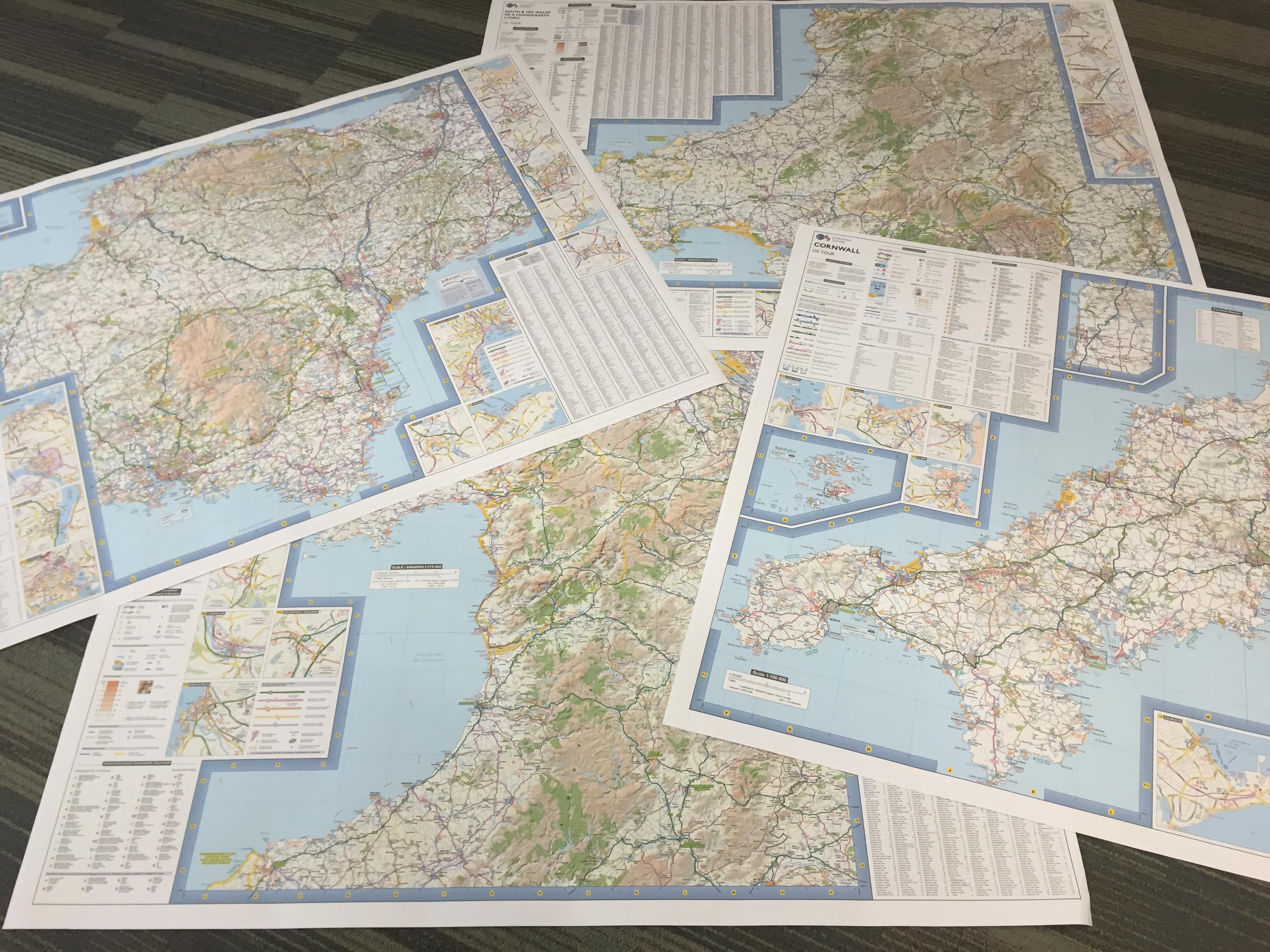
Our OS Tour Maps are all being revised to include new covers with our new brand and with the new photos entered in our OS Photofit competition for junior photographers. They won’t be hitting the shops until next February, but our Cartography team have already completed updates to four of the eight maps, including Cornwall, Devon & Somerset West, North Wales and South Wales.
Not all of the symbols will make it onto all of the maps, the symbols shown vary by the scale of each map. For example, did you know that a Post Office is marked as ‘PO’ on our OS Explorer maps, but as ‘P’ on our OS Landrangers, and not shown at all on OS Tour maps? The Cartography team have to work out which information is most important for the user of each map series and how to fit all of the relevant information onto each map.
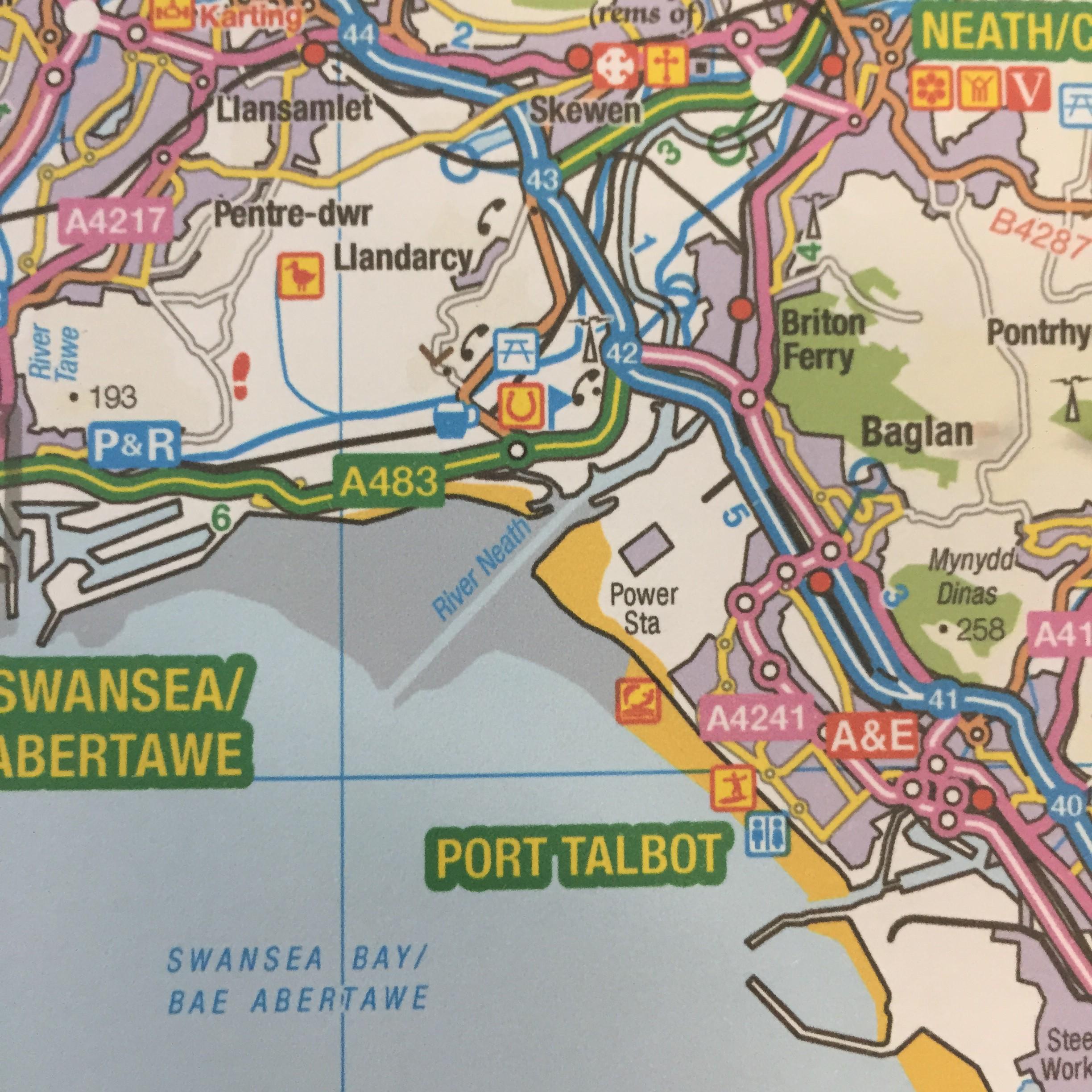
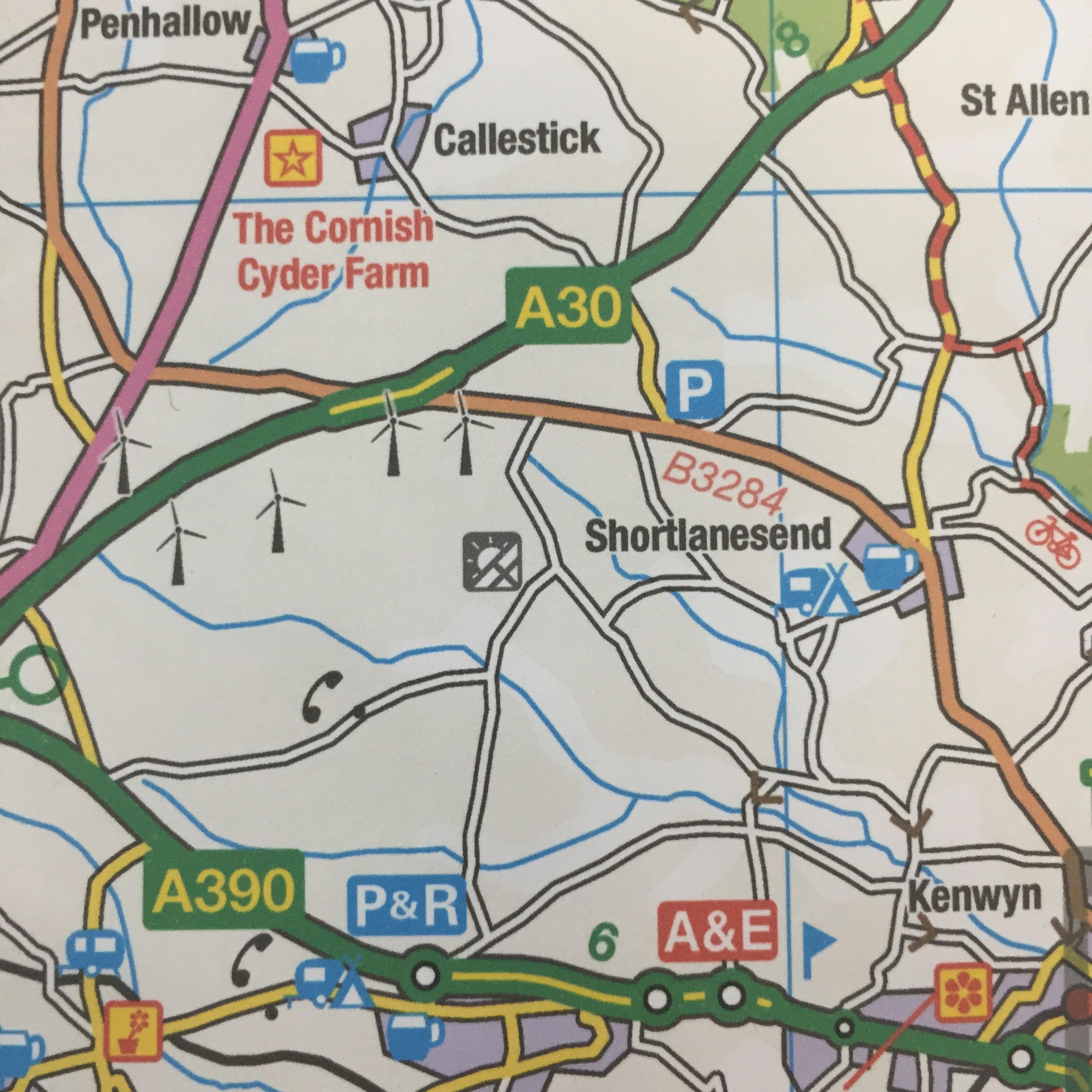
In the case of the OS Tour Maps, four of the new symbols are being incorporated. The team have been busy adding the new symbols for solar farms, art galleries, kite surfing and public toilets.
Not all of the symbols will make it onto all of the maps, the symbols shown vary by the scale of each map. For example, did you know that a Post Office is marked as ‘PO’ on our OS Explorer maps, but as ‘P’ on our OS Landrangers, and not shown at all on OS Tour maps? The Cartography team have to work out which information is most important for the user of each map series and how to fit all of the relevant information onto each map.
In the case of the OS Tour Maps, four of the new symbols are being incorporated. The team have been busy adding the new symbols for solar farms, art galleries, kite surfing and public toilets.

Did you know…?
Some interesting facts came out of the new map editions too.
- The Devon map has the most solar farms with 26 shown, against 3 on the North Wales map.
- The South Wales map has the most new toilet map symbols at 194 on the main map.
- Possibly unsurprisingly, Cornwall tops the maps when it comes to official kite surfing centres, with 4 on display.
You may also be interested to know that the solar farms shown, only include those that output over 5 megawatts of power. Similarly, we don’t show all public toilets – and this is purely down to a space factor and what can clearly be seen on a map. We do have to send out surveying team out to double check that various pubs, phone boxes and toilets and so on are still in existence when we revise a map too!
Until the Tour maps come out, you can see all of the symbols on our interactive map here right now. You’ll notice that there is only one electric car-charging point…that’s because we didn’t previously collect that data – but we do now! We’re going to be kept busy getting the new symbols rolled out to the relevant maps and this will take some time, as we’ll continue with our usual rolling refresh of the paper and digital maps.
Sharing the latest news about OS. We can license you to use OS maps in print, online and film format. For more information and resources for journalists, bloggers and media professionals, email pressoffice@os.uk or call 023 8005 5565.