Work begins with a discovery programme to understand how you and your stakeholders will benefit from geospatial information. We’ll then develop a tailored suite of services with you to maximise the value of accurate geospatial data and its growth potential for your nation. We can use our experience to help you in lots of ways.
International services
At Ordnance Survey we have years of experience providing geospatial services to countries across the world and helping your nation see its potential
What we do
Our international services and solutions are tailored to meet each client’s unique needs
Our international team
Our experts are available to help with tailored services and solutions
How OS can help
Consultancy services
Work with OS experts to inform capacity and capability building

Geospatial readiness assessment
Return on investment assessment
National Spatial Data Infrastructure
Skills transfer and training
Strategy design
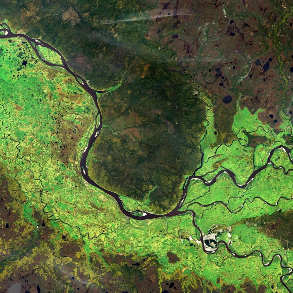
Geospatial solutions
Acquire and process data using OS technology services
Set-up and optimisation of geodesy networks
Remote sensing and cartographic design
Data infrastructure design and build
National geospatial database creation and maintenance
Geospatial data hub
Land solutions
Understand, record and classify land information effectively
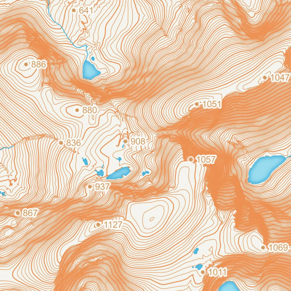
Geodetic/positioning infrastructure optimisation
Automatic feature extraction and change detection
National land classification
Land parcel capture and maintenance
See your nation's potential
Discover how geospatial data can help your nation grow and develop
Our comprehensive guide will explain geospatial information, driving economic growth and navigating challenges effectively.
Underlying geospatial challenges
Find out how geospatial information helps nations navigate challenges such as population growth, urbanisation and climate change
Tackling the negative effects of urbanisation
See how geospatial data can help overcome urban poverty and build fair, prosperous and sustainable cities.
Responding to climate change
Use location data to put sustainable development measures in place and help protect your people and the planet from climate change.
Securing land tenure
Geospatial data can help you establish land rights to fuel socio-economic growth and achieve a more sustainable and equal nation.
Building smart, citizen centred cities
Geospatial data helps you build new smart cities from planning to execution, putting your people at the very centre.


How organisations are using OS data
Read success stories of how OS has helped nations achieve sustainable, socio-economic growth for their citizens and environments

Why choose Ordnance Survey?
We’re Great Britain’s National Mapping Agency, with over 230 years’ experience in producing accurate location data and insight
We help the UK Government make smart decisions, UK businesses gain a data-edge, and everyone experience the outdoors more often.
We can help you achieve the same in your jurisdiction. We can help you produce, optimise and integrate detailed and accurate mapping and data which can be used and shared across your government departments to underpin evidence-based policy making.

How geospatially ready is your nation?
Take our online geospatial readiness assessment to learn your nation’s geospatial health
Start your free online assessmentLatest news from OS
Sign up for our international geospatial newsletter