Challenge
The EA sources OS building location data to gain insight into which areas are at risk from flooding, and how best to respond.
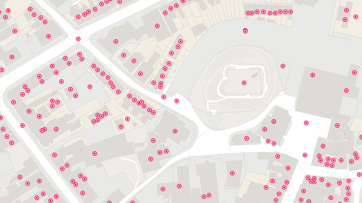
The EA wanted to optimise the value they could extract from the data by adding extra layers of information, such as unaddressed properties and building thresholds.
Managing the data in-house took the EA significant time, resources, and knowledge. They needed to be able to update the information more frequently to have the best available data.
Solution
OS worked with the EA to create a prototype bespoke product – incorporating both OS and EA data to produce a highly accurate, up-to-date, dynamic core property dataset – covering the whole of England.
Providing the EA with data tailored to their specific needs – including the ability to identify hard to find buildings – means the EA have a greater understanding of who and what is at risk from flooding, and are even better positioned to respond during an incident.
Result
The EA will have access to more accurate, more up-to-date data, recalibrated every six weeks by OS.
The bespoke property information – such as properties without an address – provides the EA with a more detailed view of the buildings they help protect from flooding.
Having the data produced at source by OS would maximise the benefits of the data helping to protect infrastructure.
"Optimising the value of the building data we use, and having it managed at source by OS, means we’re better equipped to reduce flooding, protect and improve the environment and respond to emergencies"