GIS uses digital maps and information to help us make decisions, solve problems, and help plan for the future. OS has compiled a comprehensive range of tools to help you teach your students about GIS. These tools are suitable for multiple key stages of the national curriculum.
Geographic Information Systems (GIS) tools for schools
Explore a range of GIS tools and resources for teachers
Geographic Information Systems (GIS) resources
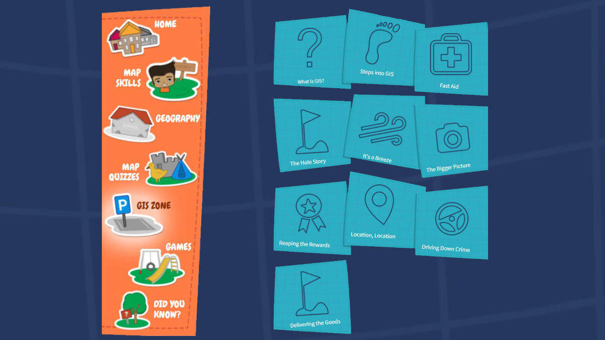
Mapzone GIS zone
Learn about Geographic Information Systems (GIS) and how they become parts of our everyday lives – often without a map in sight. Best for key stages 2 and 3.
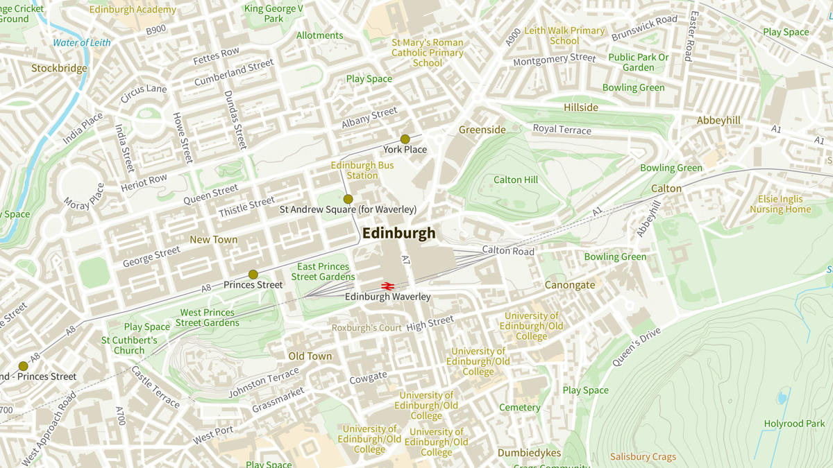
Digimap for Schools
An easy online resource you can use to access OS mapping at a range of scales. Join over 4,800 schools using this resource across Great Britain and beyond. Ideal for all age groups.
OS Open Zoomstack data product
OS Open Zoomstack provides a highly customisable map of Great Britain that includes both national and detailed local maps. Best for key stage 4.
ArcGIS Online for Schools
A free GIS teaching resource featuring a wide range of world maps in 2D and 3D, including OS 1:50 000, 1:25 000, OS MasterMap data, and historical maps.
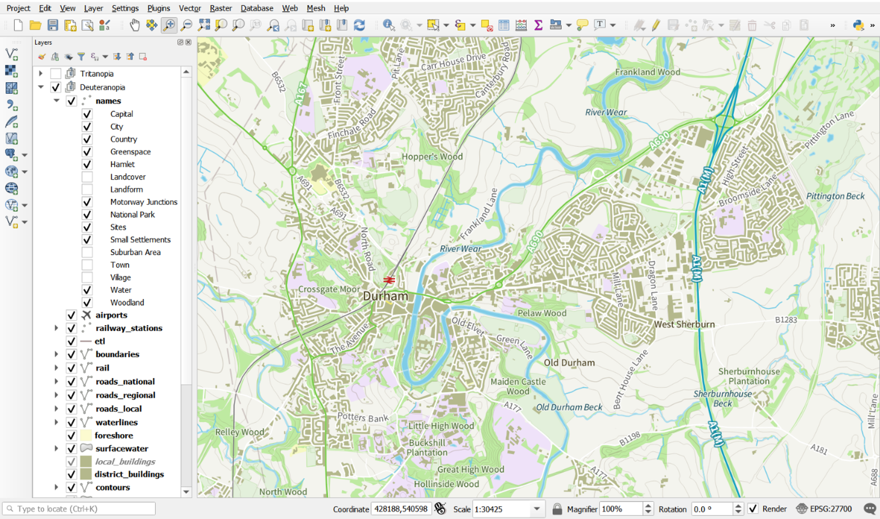
QGIS
A free, open-source, cross-platform desktop application for geospatial data viewing, editing, and analysis. OS Open Zoomstack data can be imported into QGIS, allowing you and your students to style map data and work with vector datasets. Best for key stage 4.


GIS Day resources
GIS Day is celebrated annually in November. Events take place all over the world showing the use of geographical information. If you would like to run a GIS event at your school, try our GIS teaching ideas and resources to get started.
Further teacher resources
Access geography teaching resources sorted into key stages; suitable for all age ranges from early years and key stage 1 up to key stage 4.
Can’t find what you need?
Contact us directly to speak to our friendly customer service team.