Overview
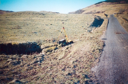
- Type of mark
- Rivet
- Flush bracket
- Not Available
- Grid reference
- NM863017
- Access to mark
- 2WD Vehicle
- Keys required
- No
- On Landranger sheet
- 55
Click to buy - On Explorer sheet
- Not Available
- Permission required
- No
Coordinates of this station
ETRS89 Cartesian
- X
- 3544070.7570
- Y
- -337659.1389
- Z
- 5274460.0656
ETRS89 Geodetic
- Latitude
- N 56 ° 9' 35.760284"
- Longitude
- W 5 ° 26' 32.611984"
- Ellipsoid height
- 97.055
National Grid (Transformed by OSTN15/OSGM15)
- Eastings
- 186332.497
- Northings
- 701700.421
- Height
- 41.898
NB: If 'permission required' is Yes at top of this form, the land owner or agent's permission must be obtained before accessing the mark.