Overview
- Type of mark
- Rivet
- Flush bracket
- Not Available
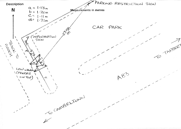
- Grid reference
- NR740547
- Access to mark
- Unknown
- Keys required
- No
- On Landranger sheet
- 62
Click to buy - On Explorer sheet
- Not Available
- Permission required
- No
Coordinates of this station
ETRS89 Cartesian
- X
- 3582272.4398
- Y
- -351225.6685
- Z
- 5247836.0995
ETRS89 Geodetic
- Latitude
- N 55 ° 44' 0.151019"
- Longitude
- W 5 ° 35' 58.904135"
- Ellipsoid height
- 61.923
National Grid (Transformed by OSTN15/OSGM15)
- Eastings
- 174095.593
- Northings
- 654758.100
- Height
- 6.676
NB: If 'permission required' is Yes at top of this form, the land owner or agent's permission must be obtained before accessing the mark.