Overview
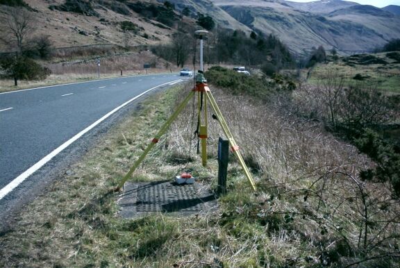
- Type of mark
- Rivet
- Flush bracket
- Not Available
- Grid reference
- NY310201
- Access to mark
- 2WD Vehicle
- Keys required
- No
- On Landranger sheet
- 90
Click to buy - On Explorer sheet
- 5
Click to buy - Permission required
- No
Coordinates of this station
ETRS89 Cartesian
- X
- 3700329.0052
- Y
- -198313.0396
- Z
- 5174102.1045
ETRS89 Geodetic
- Latitude
- N 54 ° 34' 19.639766"
- Longitude
- W 3 ° 4' 3.857152"
- Ellipsoid height
- 225.978
National Grid (Transformed by OSTN15/OSGM15)
- Eastings
- 331070.779
- Northings
- 520179.577
- Height
- 172.873
NB: If 'permission required' is Yes at top of this form, the land owner or agent's permission must be obtained before accessing the mark.