Overview
- Type of mark
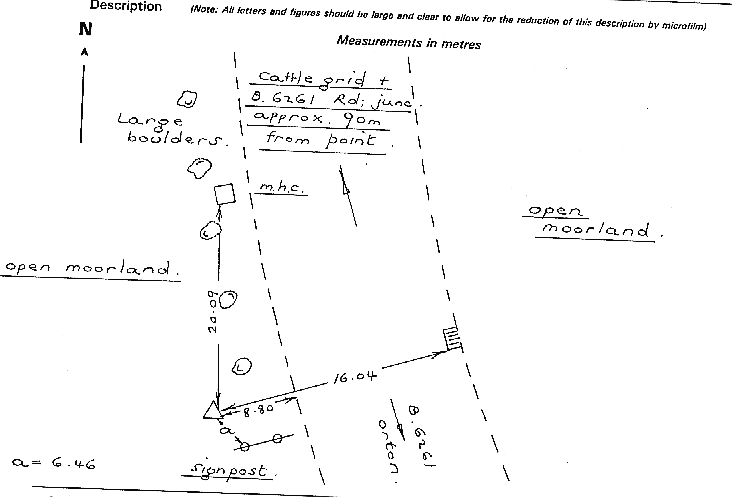
- Rivet
- Flush bracket
- Not Available
- Grid reference
- NY573124
- Access to mark
- 2WD Vehicle
- Keys required
- No
- On Landranger sheet
- 91
Click to buy - On Explorer sheet
- 5
Click to buy - Permission required
- No
Coordinates of this station
ETRS89 Cartesian
- X
- 3707857.4408
- Y
- -172273.4870
- Z
- 5169856.3426
ETRS89 Geodetic
- Latitude
- N 54 ° 30' 16.196765"
- Longitude
- W 2 ° 39' 36.533641"
- Ellipsoid height
- 375.227
National Grid (Transformed by OSTN15/OSGM15)
- Eastings
- 357349.638
- Northings
- 512331.070
- Height
- 322.817
NB: If 'permission required' is Yes at top of this form, the land owner or agent's permission must be obtained before accessing the mark.