Overview
- Type of mark
- Rivet
- Flush bracket
- Not Available
- Grid reference
- SD210632
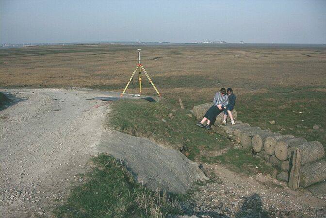
- Access to mark
- 2WD Vehicle
- Keys required
- No
- On Landranger sheet
- 96
Click to buy - On Explorer sheet
- 6
Click to buy - Permission required
- No
Coordinates of this station
ETRS89 Cartesian
- X
- 3746062.2437
- Y
- -209933.8346
- Z
- 5140644.4360
ETRS89 Geodetic
- Latitude
- N 54 ° 3' 32.179147"
- Longitude
- W 3 ° 12' 27.24949"
- Ellipsoid height
- 58.480
National Grid (Transformed by OSTN15/OSGM15)
- Eastings
- 321053.034
- Northings
- 463227.994
- Height
- 5.947
NB: If 'permission required' is Yes at top of this form, the land owner or agent's permission must be obtained before accessing the mark.