Overview
- Type of mark
- Bolt
- Flush bracket
- Not Available
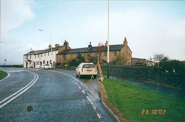
- Grid reference
- SD869261
- Access to mark
- 2WD Vehicle
- Keys required
- No
- On Landranger sheet
- 103
Click to buy - On Explorer sheet
- 21
Click to buy - Permission required
- No
Coordinates of this station
ETRS89 Cartesian
- X
- 3778774.5500
- Y
- -145069.0500
- Z
- 5119511.2300
ETRS89 Geodetic
- Latitude
- N 53 ° 43' 55.457619"
- Longitude
- W 2 ° 11' 54.722559"
- Ellipsoid height
- 436.770
National Grid (Transformed by OSTN15/OSGM15)
- Eastings
- 386999.903
- Northings
- 426203.171
- Height
- 385.442
NB: If 'permission required' is Yes at top of this form, the land owner or agent's permission must be obtained before accessing the mark.