Overview
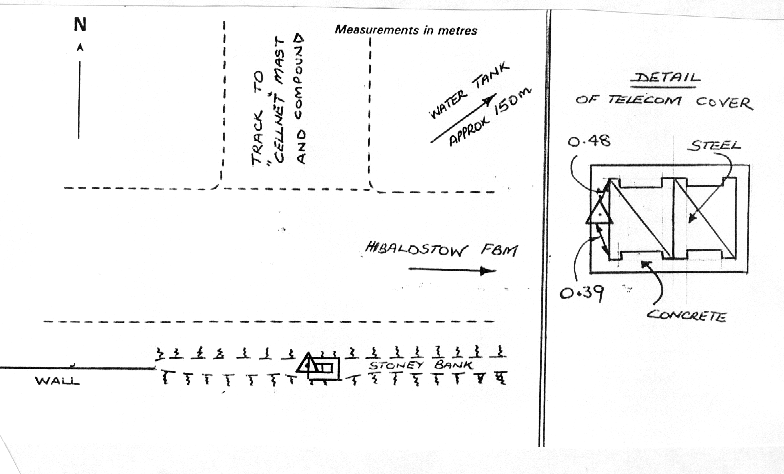
- Type of mark
- Rivet
- Flush bracket
- Not Available
- Grid reference
- SE938012
- Access to mark
- foot
- Keys required
- No
- On Landranger sheet
- 112
Click to buy - On Explorer sheet
- 281
Click to buy - Permission required
- No
Coordinates of this station
ETRS89 Cartesian
- X
- 3802072.2062
- Y
- -38986.6896
- Z
- 5103853.7194
ETRS89 Geodetic
- Latitude
- N 53 ° 29' 55.674901"
- Longitude
- W 0 ° 35' 14.978283"
- Ellipsoid height
- 119.176
National Grid (Transformed by OSTN15/OSGM15)
- Eastings
- 493795.403
- Northings
- 401159.021
- Height
- 72.412
NB: If 'permission required' is Yes at top of this form, the land owner or agent's permission must be obtained before accessing the mark.