Overview
- Type of mark
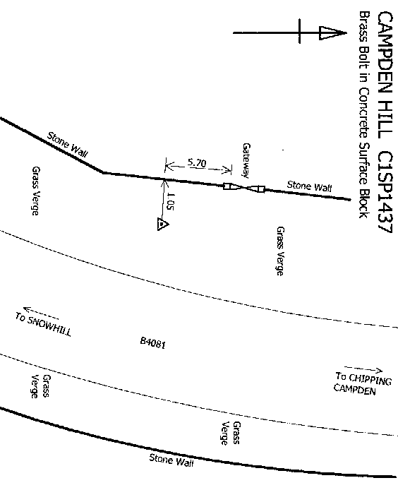
- Rivet
- Flush bracket
- Not Available
- Grid reference
- SP145373
- Access to mark
- 2WD Vehicle
- Keys required
- No
- On Landranger sheet
- 151
Click to buy - On Explorer sheet
- 220
Click to buy - Permission required
- No
Coordinates of this station
ETRS89 Cartesian
- X
- 3930285.9900
- Y
- -122791.4100
- Z
- 5005320.0000
ETRS89 Geodetic
- Latitude
- N 52 ° 2' 0.41103"
- Longitude
- W 1 ° 47' 22.103874"
- Ellipsoid height
- 286.983
National Grid (Transformed by OSTN15/OSGM15)
- Eastings
- 414538.546
- Northings
- 237246.346
- Height
- 238.260
NB: If 'permission required' is Yes at top of this form, the land owner or agent's permission must be obtained before accessing the mark.