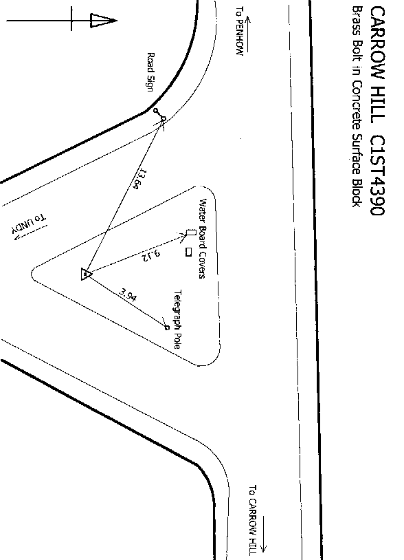
Overview
- Type of mark
- Bolt
- Flush bracket
- Not Available
- Grid reference
- ST434903
- Access to mark
- 2WD Vehicle
- Keys required
- No
- On Landranger sheet
- 171
Click to buy - On Explorer sheet
- 14
Click to buy - Permission required
- No
Coordinates of this station
ETRS89 Cartesian
- X
- 3964342.1230
- Y
- -195130.7288
- Z
- 4975999.7881
ETRS89 Geodetic
- Latitude
- N 51 ° 36' 34.576428"
- Longitude
- W 2 ° 49' 4.468805"
- Ellipsoid height
- 70.453
National Grid (Transformed by OSTN15/OSGM15)
- Eastings
- 343458.896
- Northings
- 190402.692
- Height
- 20.085
NB: If 'permission required' is Yes at top of this form, the land owner or agent's permission must be obtained before accessing the mark.