Overview
- Type of mark
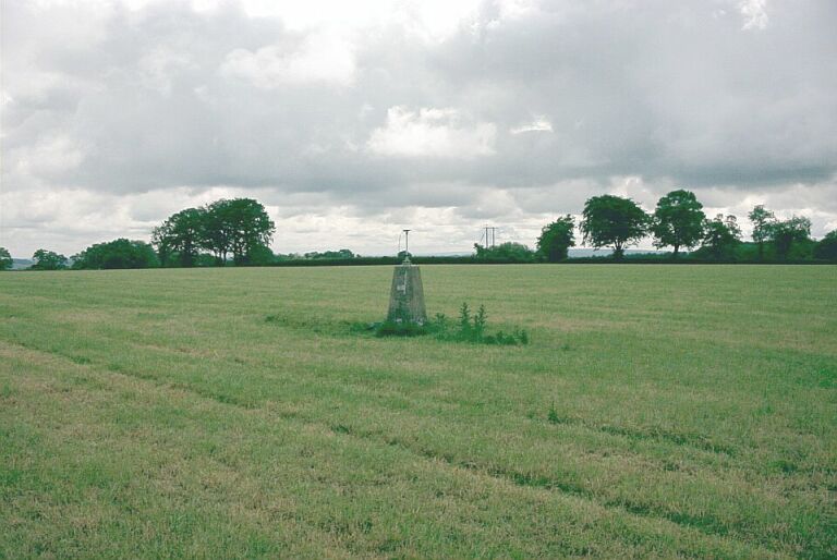
- Pillar
- Flush bracket
- S1672
- Grid reference
- SU682345
- Access to mark
- foot
- Keys required
- No
- On Landranger sheet
- 185
Click to buy - On Explorer sheet
- 132
Click to buy - Permission required
- No
Coordinates of this station
ETRS89 Cartesian
- X
- 4012340.2249
- Y
- -71896.6443
- Z
- 4941192.0160
ETRS89 Geodetic
- Latitude
- N 51 ° 6' 23.220624"
- Longitude
- W 1 ° 1' 35.638872"
- Ellipsoid height
- 261.101
National Grid (Transformed by OSTN15/OSGM15)
- Eastings
- 468245.776
- Northings
- 134578.757
- Height
- 214.992
NB: If 'permission required' is Yes at top of this form, the land owner or agent's permission must be obtained before accessing the mark.