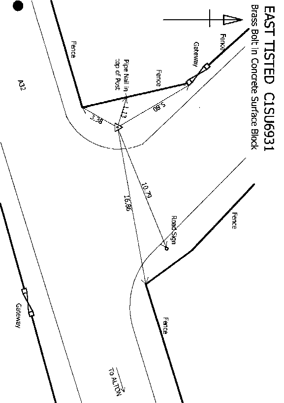
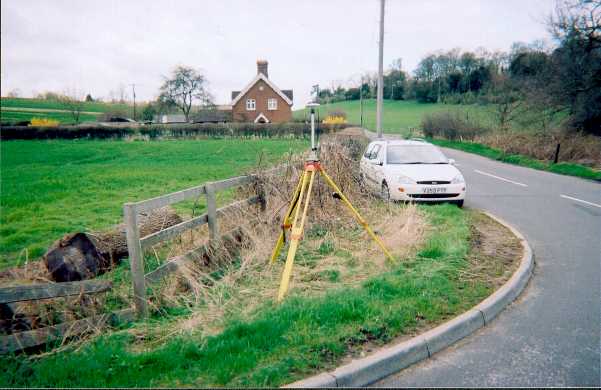
Overview
- Type of mark
- Surface Block
- Flush bracket
- Not Available
- Grid reference
- SU694314
- Access to mark
- 2WD Vehicle
- Keys required
- No
- On Landranger sheet
- 185
Click to buy - On Explorer sheet
- 132
Click to buy - Permission required
- No
Coordinates of this station
ETRS89 Cartesian
- X
- 4014751.1637
- Y
- -70679.5782
- Z
- 4939156.5336
ETRS89 Geodetic
- Latitude
- N 51 ° 4' 41.699346"
- Longitude
- W 1 ° 0' 30.910868"
- Ellipsoid height
- 177.589
National Grid (Transformed by OSTN15/OSGM15)
- Eastings
- 469546.718
- Northings
- 131459.614
- Height
- 131.544
NB: If 'permission required' is Yes at top of this form, the land owner or agent's permission must be obtained before accessing the mark.