Overview
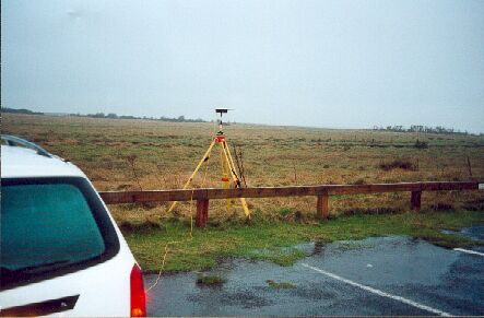
- Type of mark
- Surface Block
- Flush bracket
- Not Available
- Grid reference
- TF556580
- Access to mark
- 2WD Vehicle
- Keys required
- No
- On Landranger sheet
- 122
Click to buy - On Explorer sheet
- 274
Click to buy - Permission required
- Yes
Coordinates of this station
ETRS89 Cartesian
- X
- 3838034.0135
- Y
- 21615.6194
- Z
- 5077063.2761
ETRS89 Geodetic
- Latitude
- N 53 ° 5' 48.712365"
- Longitude
- E 0 ° 19' 21.660994"
- Ellipsoid height
- 49.545
National Grid (Transformed by OSTN15/OSGM15)
- Eastings
- 555617.053
- Northings
- 358035.591
- Height
- 4.168
NB: If 'permission required' is Yes at top of this form, the land owner or agent's permission must be obtained before accessing the mark.