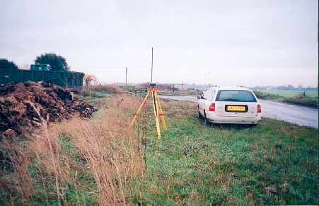
Overview
- Type of mark
- Surface Block
- Flush bracket
- Not Available
- Grid reference
- TG493187
- Access to mark
- 2WD Vehicle
- Keys required
- No
- On Landranger sheet
- 134
Click to buy - On Explorer sheet
- 40
Click to buy - Permission required
- No
Coordinates of this station
ETRS89 Cartesian
- X
- 3870906.8313
- Y
- 114209.6369
- Z
- 5050992.4493
ETRS89 Geodetic
- Latitude
- N 52 ° 42' 29.929998"
- Longitude
- E 1 ° 41' 23.999813"
- Ellipsoid height
- 62.444
National Grid (Transformed by OSTN15/OSGM15)
- Eastings
- 649360.271
- Northings
- 318679.733
- Height
- 18.248
NB: If 'permission required' is Yes at top of this form, the land owner or agent's permission must be obtained before accessing the mark.