Overview
- Type of mark
- FBM
- Flush bracket
- Not Available
- Grid reference
- NN674903
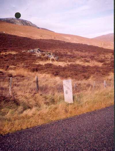
- Access to mark
- foot
- Keys required
- No
- On Landranger sheet
- 42
Click to buy - On Explorer sheet
- Not Available
- Permission required
- No
Coordinates of this station
ETRS89 Cartesian
- X
- 3474309.1359
- Y
- -254174.2987
- Z
- 5325302.2453
ETRS89 Geodetic
- Latitude
- N 56 ° 59' 5.975943"
- Longitude
- W 4 ° 11' 3.132637"
- Ellipsoid height
- 372.674
National Grid (Transformed by OSTN15/OSGM15)
- Eastings
- 267368.514
- Northings
- 790324.060
- Height
- 318.839
NB: If 'permission required' is Yes at top of this form, the land owner or agent's permission must be obtained before accessing the mark.