Overview
- Type of mark
- FBM
- Flush bracket
- Not Available
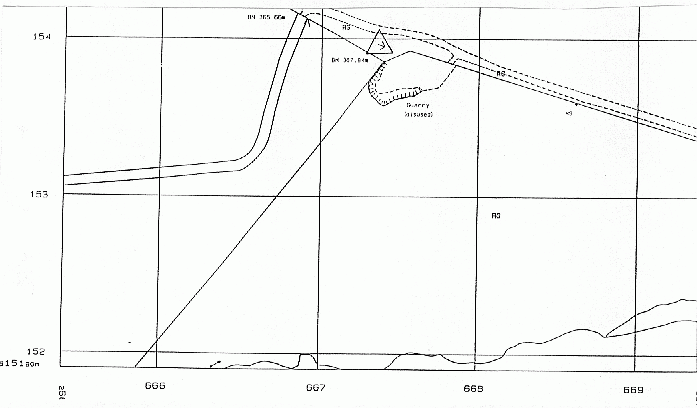
- Grid reference
- NS667154
- Access to mark
- 2WD
- Keys required
- No
- On Landranger sheet
- 71
Click to buy - On Explorer sheet
- 328
Click to buy - Permission required
- No
Coordinates of this station
ETRS89 Cartesian
- X
- 3619639.0665
- Y
- -259881.0652
- Z
- 5228049.4224
ETRS89 Geodetic
- Latitude
- N 55 ° 24' 51.47424"
- Longitude
- W 4 ° 6' 23.930783"
- Ellipsoid height
- 422.472
National Grid (Transformed by OSTN15/OSGM15)
- Eastings
- 266737.231
- Northings
- 615394.253
- Height
- 367.868
NB: If 'permission required' is Yes at top of this form, the land owner or agent's permission must be obtained before accessing the mark.