Overview
- Type of mark
- FBM
- Flush bracket
- Not Available
- Grid reference
- SH241828
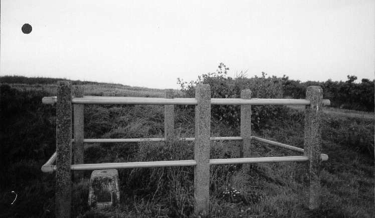
- Access to mark
- foot
- Keys required
- No
- On Landranger sheet
- 114
Click to buy - On Explorer sheet
- 262
Click to buy - Permission required
- No
Coordinates of this station
ETRS89 Cartesian
- X
- 3806322.4301
- Y
- -309036.8416
- Z
- 5091511.2780
ETRS89 Geodetic
- Latitude
- N 53 ° 18' 47.21704"
- Longitude
- W 4 ° 38' 30.069568"
- Ellipsoid height
- 90.815
National Grid (Transformed by OSTN15/OSGM15)
- Eastings
- 224110.985
- Northings
- 382828.658
- Height
- 36.202
NB: If 'permission required' is Yes at top of this form, the land owner or agent's permission must be obtained before accessing the mark.