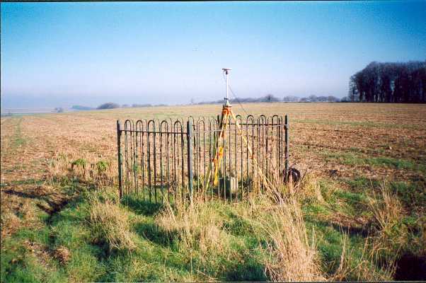
Overview
- Type of mark
- FBM
- Flush bracket
- Not Available
- Grid reference
- ST957424
- Access to mark
- foot
- Keys required
- No
- On Landranger sheet
- 184
Click to buy - On Explorer sheet
- 143
Click to buy - Permission required
- No
Coordinates of this station
ETRS89 Cartesian
- X
- 4003901.0657
- Y
- -144212.6431
- Z
- 4946370.7257
ETRS89 Geodetic
- Latitude
- N 51 ° 10' 51.808804"
- Longitude
- W 2 ° 3' 46.042566"
- Ellipsoid height
- 224.155
National Grid (Transformed by OSTN15/OSGM15)
- Eastings
- 395707.135
- Northings
- 142427.638
- Height
- 176.044
NB: If 'permission required' is Yes at top of this form, the land owner or agent's permission must be obtained before accessing the mark.