Overview
- Type of mark
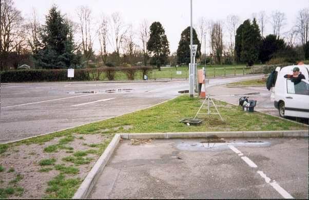
- Berntsen
- Flush bracket
- Not Available
- Grid reference
- SP287649
- Access to mark
- 2WD
- Keys required
- No
- On Landranger sheet
- 151
Click to buy - On Explorer sheet
- 221
Click to buy - Permission required
- No
Coordinates of this station
ETRS89 Cartesian
- X
- 3908763.4094
- Y
- -107850.0560
- Z
- 5022133.5263
ETRS89 Geodetic
- Latitude
- N 52 ° 16' 54.994884"
- Longitude
- W 1 ° 34' 49.786222"
- Ellipsoid height
- 96.924
National Grid (Transformed by OSTN15/OSGM15)
- Eastings
- 428714.810
- Northings
- 264947.787
- Height
- 48.165
NB: If 'permission required' is Yes at top of this form, the land owner or agent's permission must be obtained before accessing the mark.