Overview
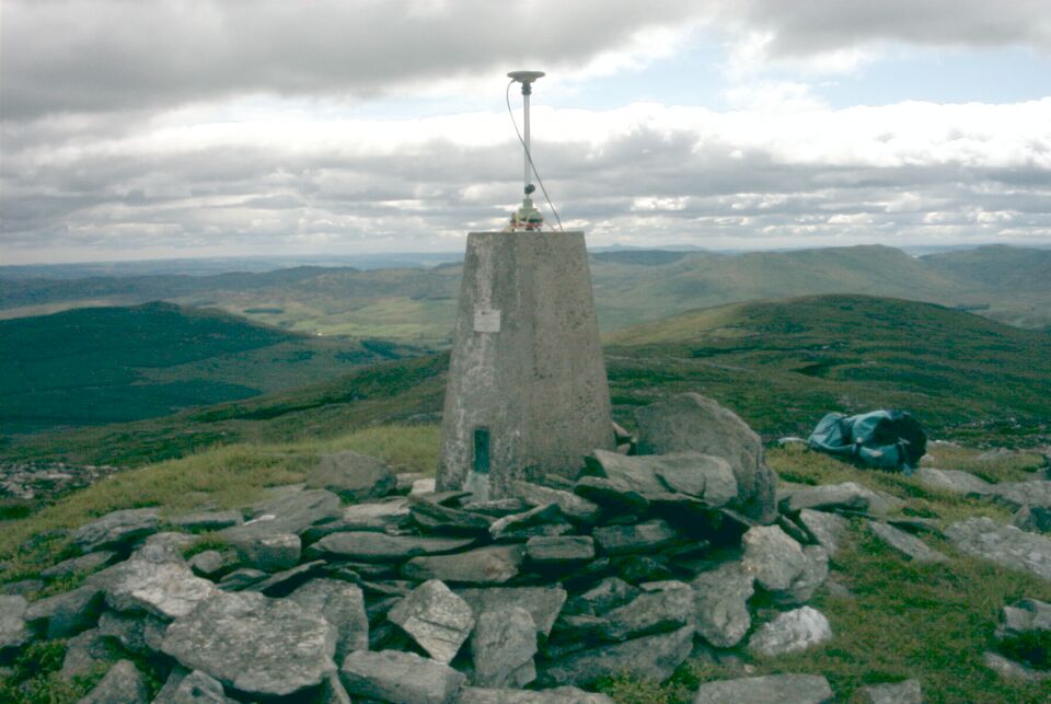
- Type of mark
- Pillar
- Flush bracket
- S1589
- Grid reference
- NN886414
- Access to mark
- foot
- Keys required
- No
- On Landranger sheet
- 52
Click to buy - On Explorer sheet
- Not Available
- Permission required
- No
Coordinates of this station
ETRS89 Cartesian
- X
- 3516315.2385
- Y
- -234341.9162
- Z
- 5299198.0936
ETRS89 Geodetic
- Latitude
- N 56 ° 33' 7.854887"
- Longitude
- W 3 ° 48' 46.049989"
- Ellipsoid height
- 743.969
National Grid (Transformed by OSTN15/OSGM15)
- Eastings
- 288659.886
- Northings
- 741494.705
- Height
- 690.503
NB: If 'permission required' is Yes at top of this form, the land owner or agent's permission must be obtained before accessing the mark.