Overview
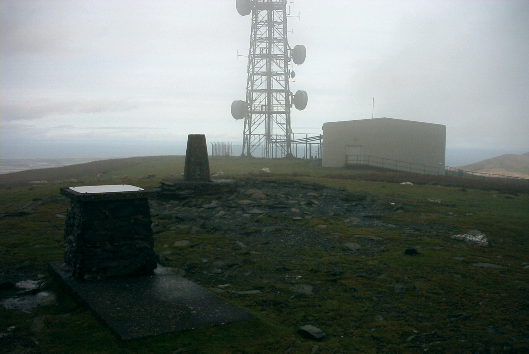
- Type of mark
- Pillar
- Flush bracket
- S5071
- Grid reference
- SC397880
- Access to mark
- foot
- Keys required
- No
- On Landranger sheet
- 95
Click to buy - On Explorer sheet
- Not Available
- Permission required
- No
Coordinates of this station
ETRS89 Cartesian
- X
- 3722547.3110
- Y
- -290462.0361
- Z
- 5154462.8423
ETRS89 Geodetic
- Latitude
- N 54 ° 15' 47.802962"
- Longitude
- W 4 ° 27' 41.837394"
- Ellipsoid height
- 675.823
National Grid (Transformed by OSTN15/OSGM15)
- Eastings
- 239770.058
- Northings
- 488085.910
- Height
- 620.900
NB: If 'permission required' is Yes at top of this form, the land owner or agent's permission must be obtained before accessing the mark.