Overview
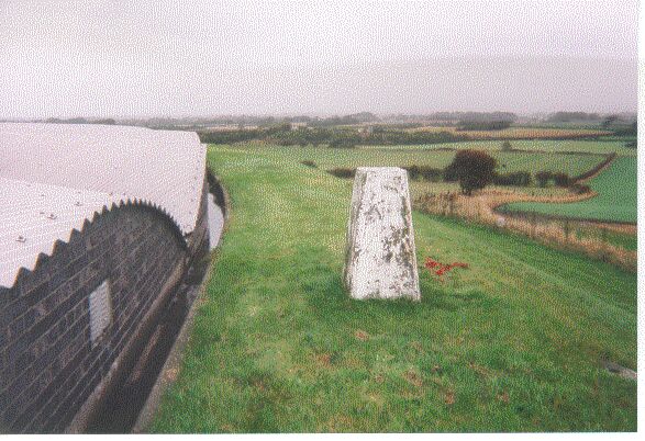
- Type of mark
- Pillar
- Flush bracket
- S1593
- Grid reference
- SD397343
- Access to mark
- foot
- Keys required
- Yes
- On Landranger sheet
- 102
Click to buy - On Explorer sheet
- 286
Click to buy - Permission required
- Yes
Coordinates of this station
ETRS89 Cartesian
- X
- 3770175.8209
- Y
- -192078.8205
- Z
- 5123848.7132
ETRS89 Geodetic
- Latitude
- N 53 ° 48' 7.763177"
- Longitude
- W 2 ° 54' 59.477365"
- Ellipsoid height
- 97.903
National Grid (Transformed by OSTN15/OSGM15)
- Eastings
- 339734.240
- Northings
- 434372.276
- Height
- 45.786
NB: If 'permission required' is Yes at top of this form, the land owner or agent's permission must be obtained before accessing the mark.