Overview
- Type of mark
- Block
- Flush bracket
- Not Available
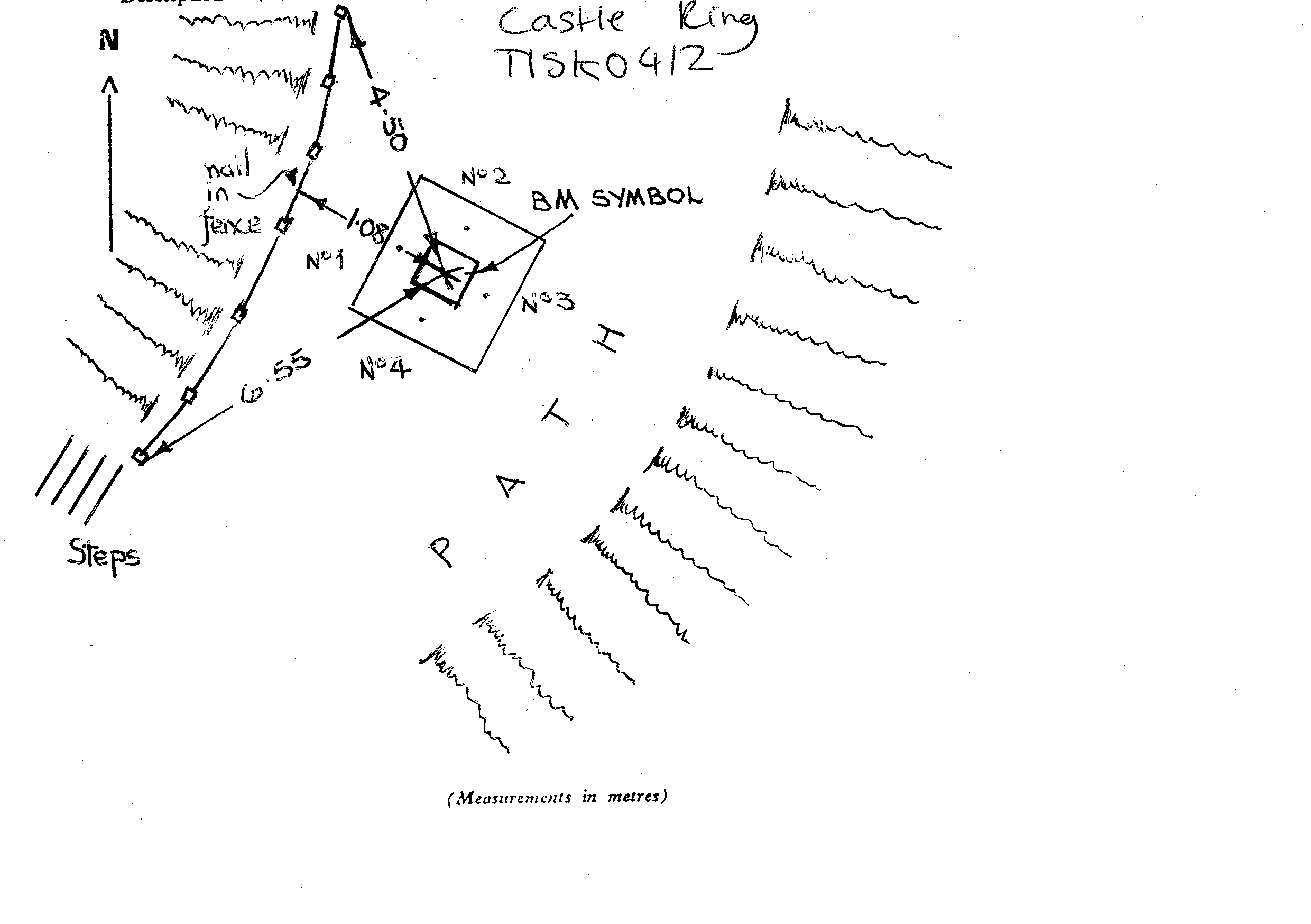
- Grid reference
- SK044129
- Access to mark
- foot
- Keys required
- No
- On Landranger sheet
- 128
Click to buy - On Explorer sheet
- 244
Click to buy - Permission required
- No
Coordinates of this station
ETRS89 Cartesian
- X
- 3870049.0600
- Y
- -130925.5500
- Z
- 5051531.7800
ETRS89 Geodetic
- Latitude
- N 52 ° 42' 48.948534"
- Longitude
- W 1 ° 56' 15.37352"
- Ellipsoid height
- 292.659
National Grid (Transformed by OSTN15/OSGM15)
- Eastings
- 404311.927
- Northings
- 312881.858
- Height
- 242.388
NB: If 'permission required' is Yes at top of this form, the land owner or agent's permission must be obtained before accessing the mark.