Overview
- Type of mark
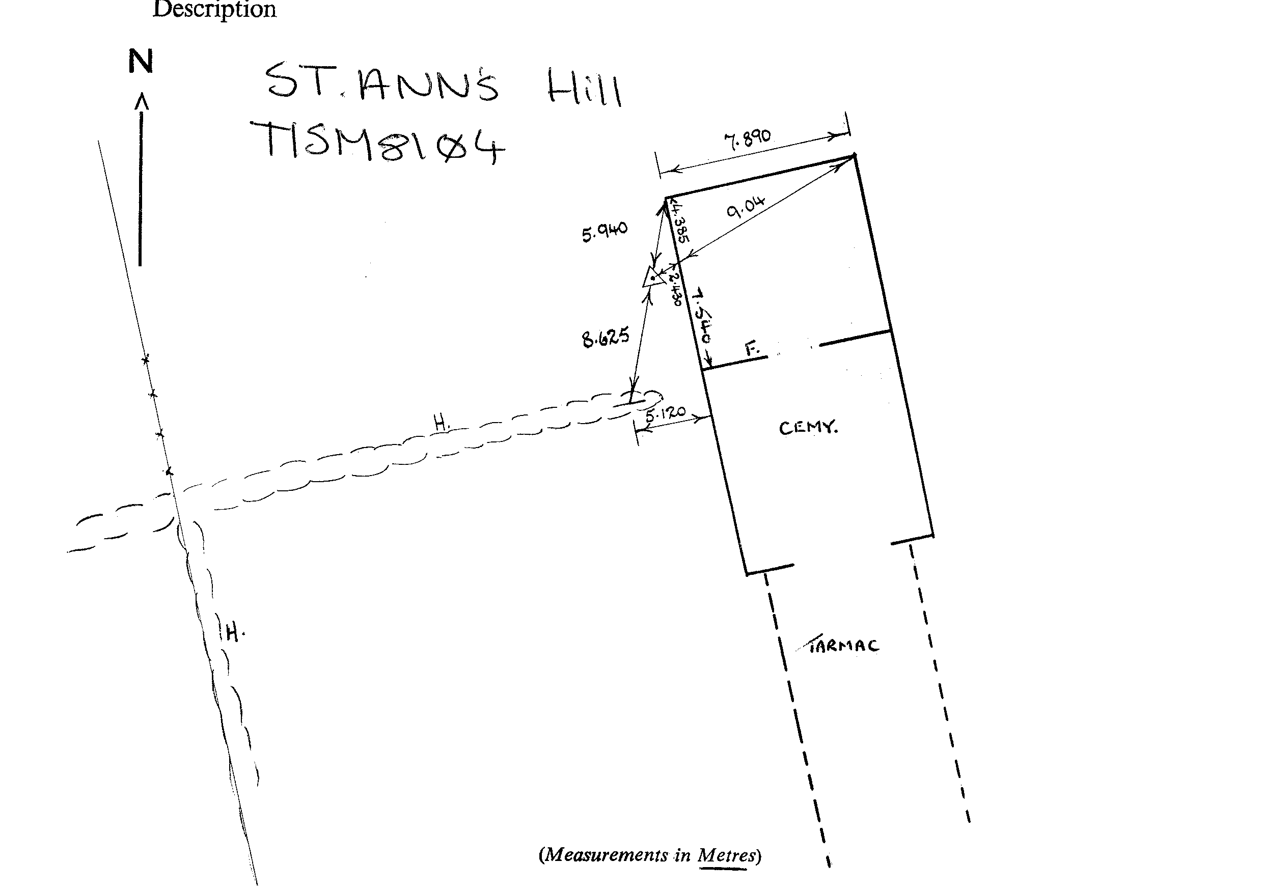
- Pillar
- Flush bracket
- S1549
- Grid reference
- SM811041
- Access to mark
- foot
- Keys required
- No
- On Landranger sheet
- 157
Click to buy - On Explorer sheet
- 36
Click to buy - Permission required
- Yes
Coordinates of this station
ETRS89 Cartesian
- X
- 3945746.3554
- Y
- -356892.7897
- Z
- 4981834.8095
ETRS89 Geodetic
- Latitude
- N 51 ° 41' 36.638144"
- Longitude
- W 5 ° 10' 6.023724"
- Ellipsoid height
- 125.062
National Grid (Transformed by OSTN15/OSGM15)
- Eastings
- 181128.092
- Northings
- 204169.927
- Height
- 70.906
NB: If 'permission required' is Yes at top of this form, the land owner or agent's permission must be obtained before accessing the mark.