Overview
- Type of mark
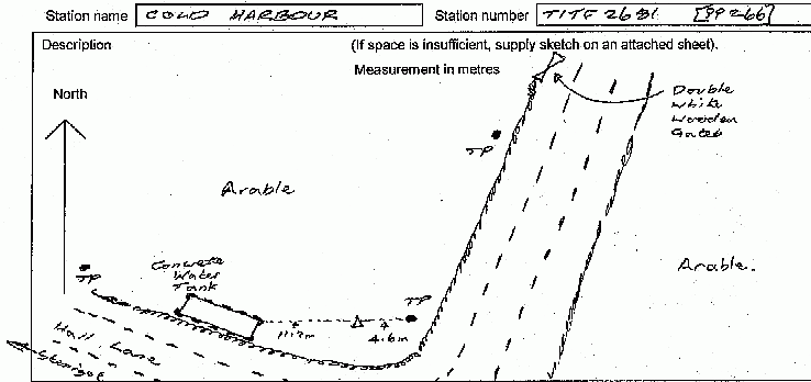
- Pillar
- Flush bracket
- S2120
- Grid reference
- TF266812
- Access to mark
- 2WD Vehicle
- Keys required
- No
- On Landranger sheet
- 122
Click to buy - On Explorer sheet
- 282
Click to buy - Permission required
- No
Coordinates of this station
ETRS89 Cartesian
- X
- 3818936.0636
- Y
- -6753.7682
- Z
- 5091572.6372
ETRS89 Geodetic
- Latitude
- N 53 ° 18' 45.943809"
- Longitude
- W 0 ° 6' 4.777837"
- Ellipsoid height
- 196.657
National Grid (Transformed by OSTN15/OSGM15)
- Eastings
- 526592.547
- Northings
- 381214.076
- Height
- 150.651
NB: If 'permission required' is Yes at top of this form, the land owner or agent's permission must be obtained before accessing the mark.