Overview
- Type of mark
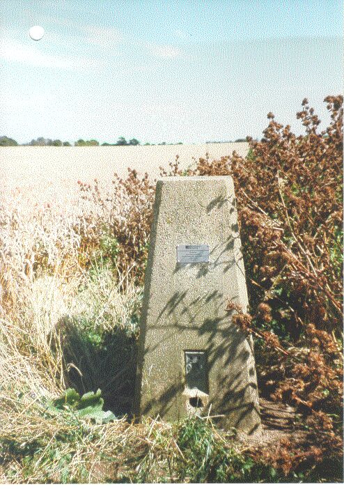
- Pillar
- Flush bracket
- S1844
- Grid reference
- TR001716
- Access to mark
- 2WD Vehicle
- Keys required
- No
- On Landranger sheet
- 178
Click to buy - On Explorer sheet
- 149
Click to buy - Permission required
- No
Coordinates of this station
ETRS89 Cartesian
- X
- 3986182.6463
- Y
- 60996.8366
- Z
- 4962123.2429
ETRS89 Geodetic
- Latitude
- N 51 ° 24' 31.722828"
- Longitude
- E 0 ° 52' 36.031707"
- Ellipsoid height
- 105.814
National Grid (Transformed by OSTN15/OSGM15)
- Eastings
- 600157.979
- Northings
- 171679.971
- Height
- 61.097
NB: If 'permission required' is Yes at top of this form, the land owner or agent's permission must be obtained before accessing the mark.