Building Passport – the story so far

In recent years, there has been a lot of discussion around the suitability of today’s systems and methods for preventing and reducing incidents relating to fire in our built environment.
Three years have passed since the Grenfell Tower fire in 2017 and we are on the verge of legislative change to avoid similar events happening in the future. This will revolutionise the status quo of building ownership and operation.
I founded Building Passport Limited to facilitate this transformation, whilst basing the business on the ultimate vision of creating a safer built environment.
Background
Having spent four years studying civil and structural engineering, moving to a career in real estate was a shock. The availability and ease of access to important building information that I had taken for granted in the engineering world did not exist in the property industry. I spent the following seven years in various surveying roles and by far, the most frustrating element of my roles was sourcing and organising the information my team and our clients needed.
I have witnessed transactional deals fall through and seen surprisingly vague valuations of buildings due to the lack of readily available or accurate information. It is commonplace to commission repeat surveys and waste time and money due to duplication of work.
It was this that initially caught my attention and sowed the seed of the Building Passport concept; however it wasn’t until the Grenfell disaster that I realised the necessity of collecting this building information. As the findings of Dame Judith Hackitt’s Grenfell report highlight, the power of understanding a building should not be underestimated, both in terms of reducing the risk of an incident occurring, as well as providing essential insight in an emergency response scenario.
This is what lead me to take the plunge and start the business. At first, I was amazed to find so little competition. However, it became clear perhaps why this was when I discovered, from Ordnance Survey (OS) data, that there are 44 million unique properties in Great Britain.
OS data
How do you manage and organise information on 44 million properties? Great Britain, as with most other countries in the world has historically recorded buildings by street address. When you consider that there may be more than one dwelling or unit within a building, complications are multiplied.
Thankfully, the Unique Property Reference Number (UPRN) dataset OS offers can overcome this. The OS Open UPRN product gives open access to a number allocated to every addressable location in Great Britain, giving all these locations a unique identifier which will never be changed for its entire lifetime.
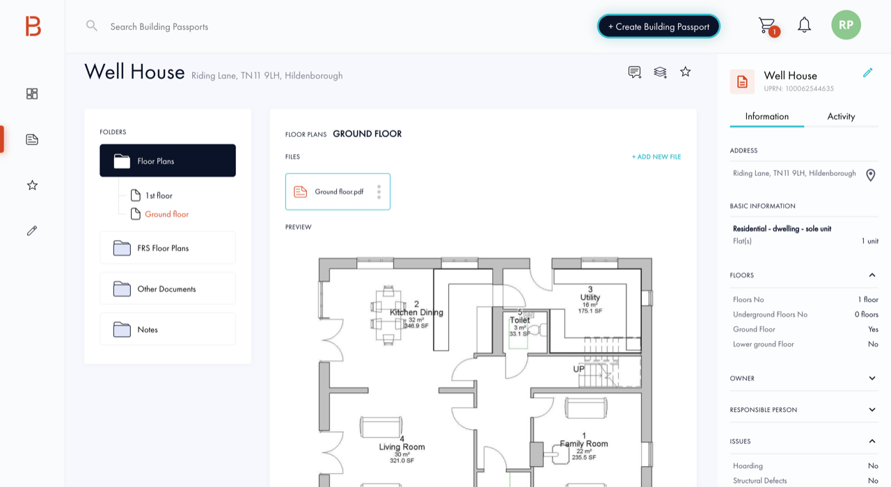
Therefore, the UPRN has become the linchpin of the Building Passport platform. Having access to this OS data via Geovation removes the risk of confusing one building with another – especially pertinent in an emergency response scenario.
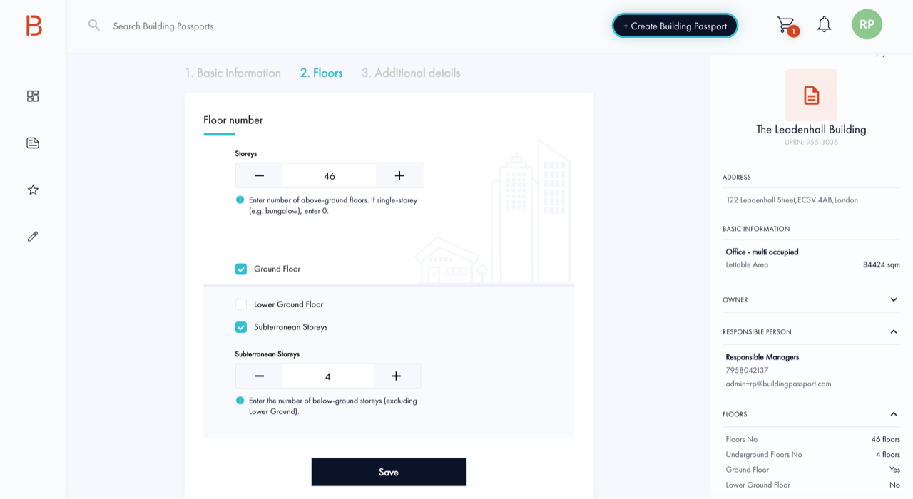
Our system
The Building Passport system has been developed over the last six months, with guidance from highly regarded professionals in the Fire and Rescue Service, leading building control firms, insurance and property market experts.
In addition, there is an ongoing pilot with Surrey Fire and Rescue Service which is influencing the direction of development of future platform functionality. The possibilities for the platform are wide-reaching and the consequent improvements to our built environment will be substantial.
We are rolling out across the country with the aim of creating a Building Passport for every building in the UK. We want to reduce the risks of another tragedy whilst making building occupants feel safer in the real estate they inhabit and occupy.
Learn more about Building Passport at buildingpassport.com.
OS for developers
Whether you’re new to geospatial or a GIS data expert, our data platform grants access to our data

Our highly accurate geospatial data and printed maps help individuals, governments and companies to understand the world, both in Britain and overseas.
Products and solutions featured in this blog
OS Open UPRN
An open dataset enabling linking, sharing and visualisation of data related to UPRNs.
