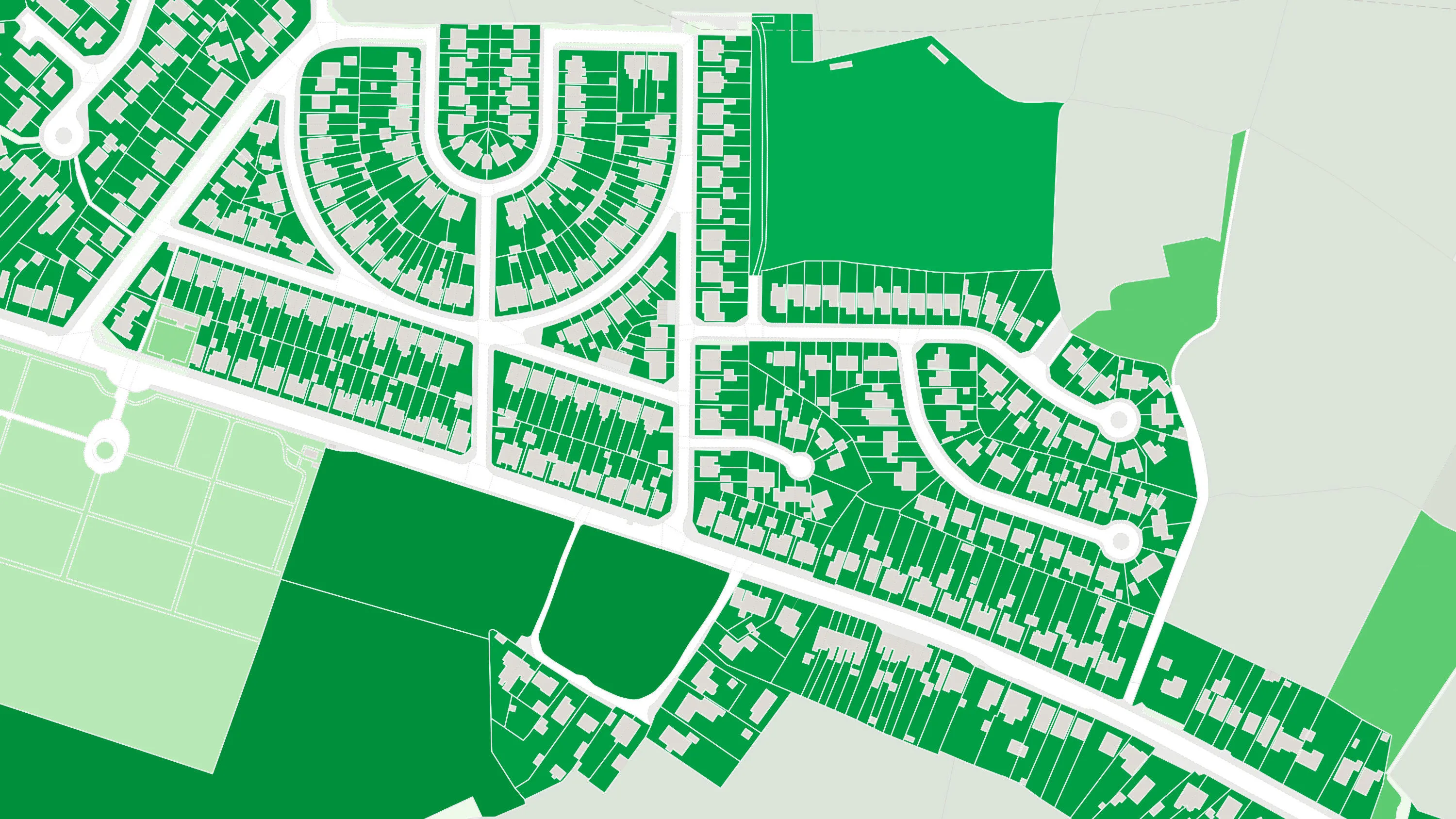
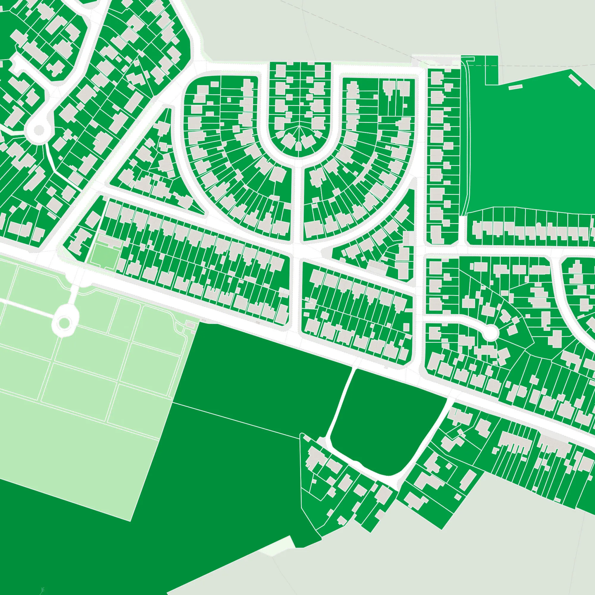
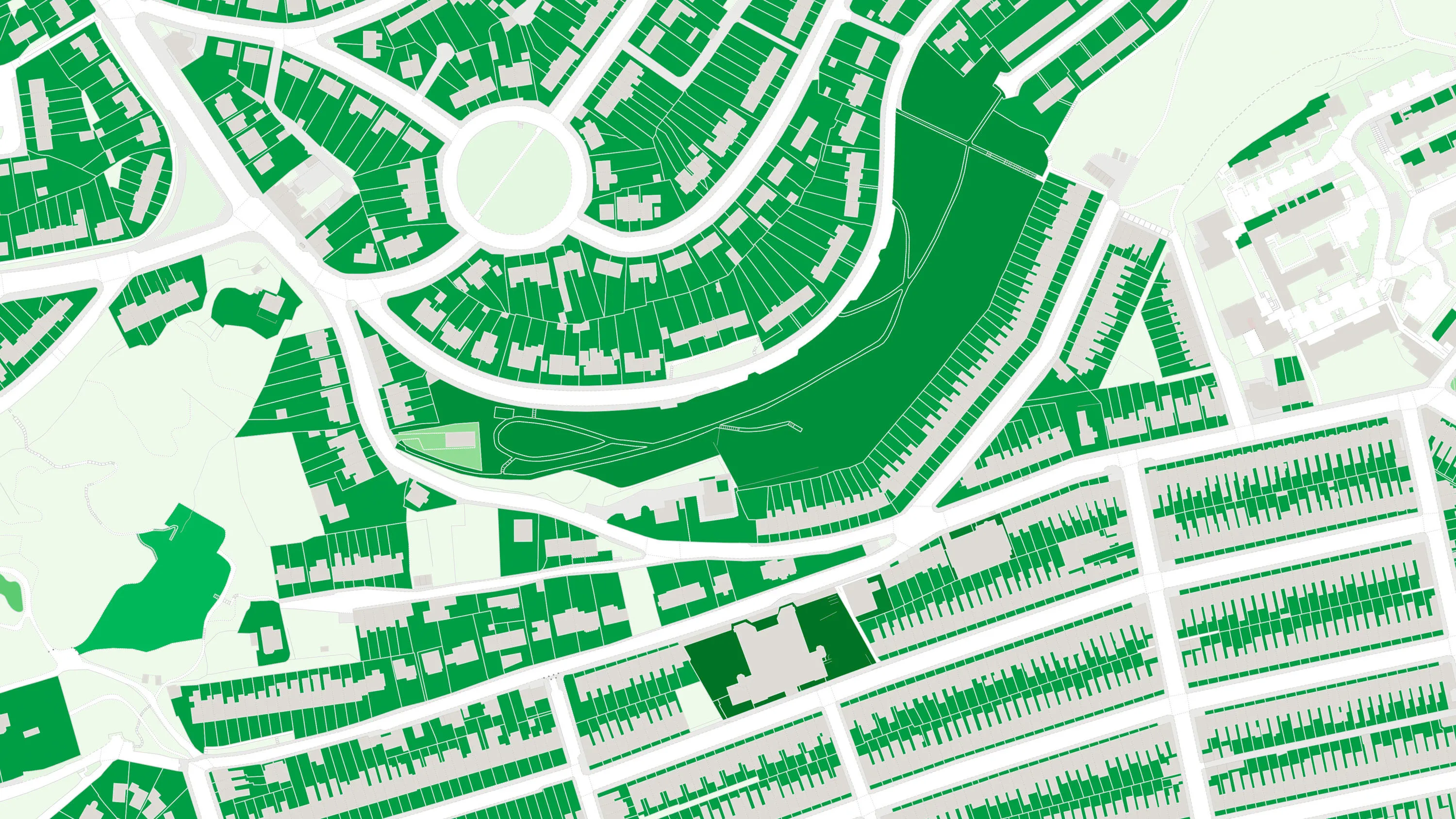
OS MasterMap Greenspace Layer
The OS MasterMap Greenspace Layer dataset has been designed for the public sector, it shows accessible and non-accessible greenspaces in urban areas, helping to support a wider set of government initiatives around health and the environment.
This product is updated every six months