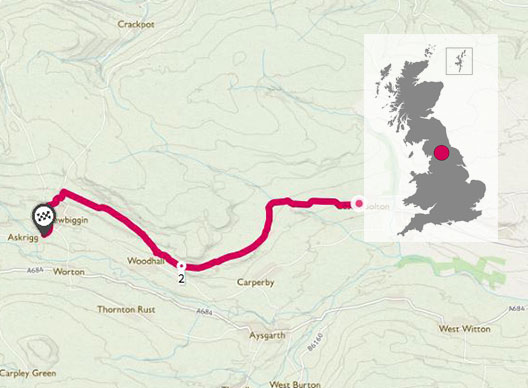
When looking for short hikes along the NC500 that would be big on views, I came across a great article over on the Ordnance Survey website of the five best short hikes in Scotland, which featured one so called “Bone Caves” walk. The caves, that tower over the valley below, are named after the bones that have been discovered here, and that lead this place to be listed as a Site of Special Scientific Interest.
Bone caves, which sit within the North West Highlands Geopark, are named after the huge number of animal bones that were excavated here over a century ago; northern lynx, Arctic fox, brown bear and even a polar bear – none of which are considered native to this area and that certainly don’t roam these parts now.
NC 253 178
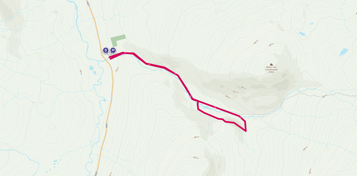
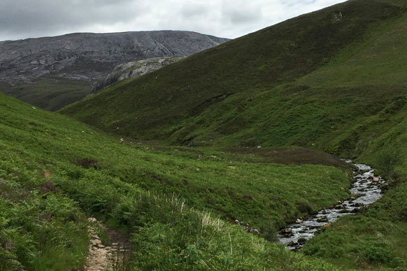
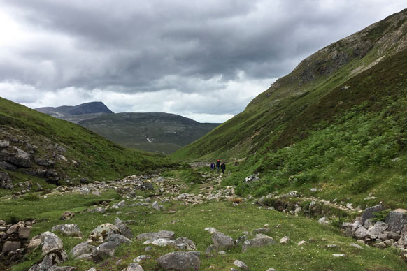
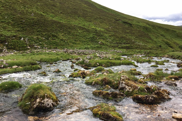
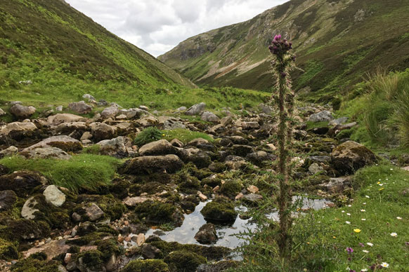
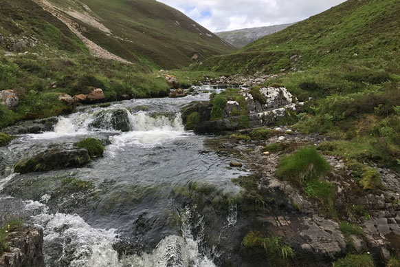
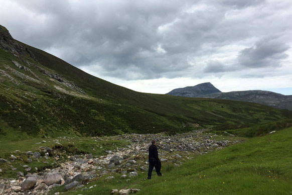
Starting in a car park on the A837 south of Inchnadamph, the hike starts through a gate at the end of the parking area, past a fish farm, and follows the river up to a waterfall. The limestone valley of the Allt nan Uamh (Burn of the Caves) is beautiful in itself, carved over the years to cut through the rock, leaving the famous Bone Caves standing proud up on the crag. Strangely, you walk along with the noisy and fast flowing river on your right for a kilometre or so, past waterfalls and fast flowing water, and then in an instant it disappears and the river is dry. The water flowers underground through the valley, unless there has been heavy rainfall.
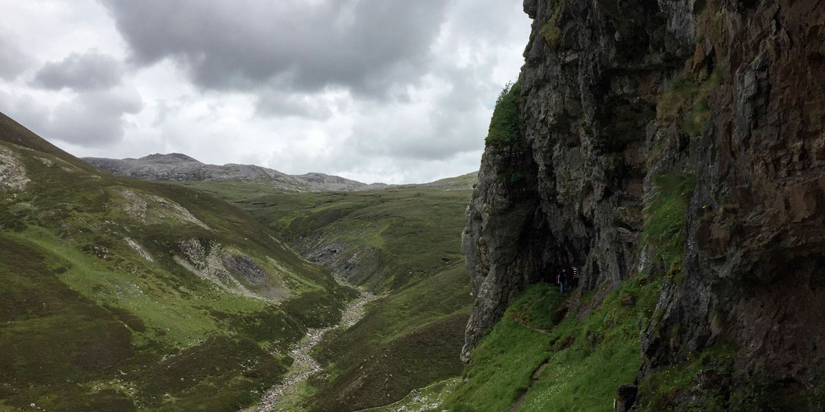
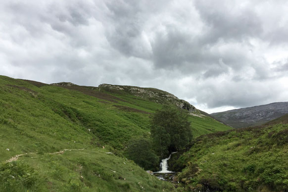
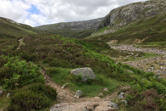
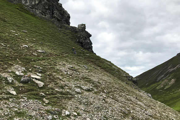
As the valley narrows the caves become visible on the cliff and you can see your destination. The path forks – there’s a rock instructing you to go right and cross the dry river bed, this is the start of the circular section of the walk. It’s difficult to go wrong in your navigation on this hike; stick to the well-trodden path and you will end up at the caves. This section of the hike is quite strenuous – the ascent is steep and the path narrow up to Creag nan Uamh (Crag of the Caves), and so even though this is a short hike it’s well worth carrying water and maybe a Jelly Baby or two.
NC 267 170 2.51KM
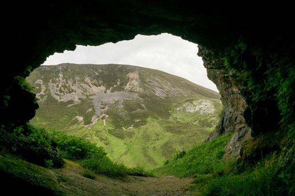
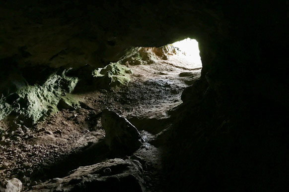
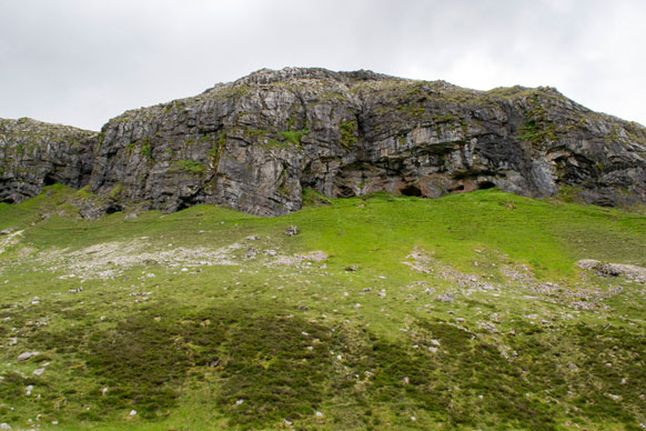
When you get to the caves, which are the half way point of the hike (and where the uphill struggle stops!), you find three main cave entrances in the limestone valley under the northern crags of Beinn an Fhuarain, named Badger, Reindeer, and Bones.
The caves are open and only shallow, and you can get a feel for them in just a few minutes. There are no bones to look at these days (and this is a SSCI so no digging!), but it’s super interesting to see where these “big” animals sought shelter from the weather, and the views back down the valley from the cave entrances are really very special.
NC 264 172 2.92KM
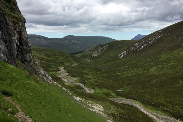
The return journey is nowhere near as steep as the way up; re-join the path that follows alongside the caves, curve around at the edge of the valley back over the dry river bed, and follow it back down the valley. You’ll eventually pass that direction stone, catch up with the fast flowing water, and get back to the car park.
NC 256 179 4.06KM
The circuit from the car park to the caves and back is just over 4km (2.5 miles) and took us around two hours at a leisurely pace including our time spent at the caves. The path was easy to navigate, and the terrain is reasonable except for one steep section where the path heads up to the caves themselves, and a few boulders to clamber over that have been brought down by the river. There are no facilities so you will need to bring water and snacks (the caves make a great place for a picnic!). If it’s a wet day go careful in the caves as they will be slippery.
4.37KM NC 253 178
4.34 km / 3 miles