Six easy circular walks to follow if you are visiting the South Downs. All easy to reach by bus or train if you fancy leaving the car behind.
The South Downs is a popular destination for walkers, offering coastal views, rolling hills and the kind of beautiful british scenery that you would find on a postcard. The most famous footpath in the national park is the South Downs Way, a long distance footpath that is also one of Britain’s National Trails. It runs for around 100 miles from Winchester in Hampshire to Eastbourne in Sussex. You don’t need to be a endurance walker to enjoy the views, there are plenty of short circular family walks that you could enjoy too.
1. Walks near Buriton and East Meon
East Meon is home of All Saints Church with its beautiful 13th century spire. In old English Meon translates as ‘swift one’ and this eight mile circular walk takes in one of the sources of the river Meon at South Farm. The clear water is typical of a chalk stream where the water has been filtered through the chalk for thousands of years.

East Meon – Image: SDNPA
2. Walks near Midhurst and Duncton Mill
The town of Midhurst boasts the impressive Cowdray Ruins which, despite being burnt out in 1793, are still a monument to Tudor architecture. This enjoyable ten mile walk also takes in the medieval bridge at Woolbeding and follows the River Rother to Stedham Mill.
MIDHURST AND DUNCTON MILL WALK
WOOLBEDING COMMON ROUTE IN OS MAPS

Burton Mill – Image: SDNPA
3. Walks near Arundel
For a great seven mile circular walk from Arundel head from the railway station to Swanbourne Lake and join the Monarch’s Way through Arundel Park before returning along the river Arun.

Arundel and West Stoke – Image: SDNPA
4. Walks near Lewes and Southease
For great views over the town of Lewes and down the Ouse Valley to the sea, head over Mount Caburn and down to Glynde – home of the famous opera house. You can catch regular trains back to Lewes or loop back over Saxon Down making six miles in total.
CHALLENGING GLYNDE TO SEAFORD ROUTE IN OS MAPS

Westward from Mount Caburn – Image: SDNPA
5. Walks by the Seven Sisters
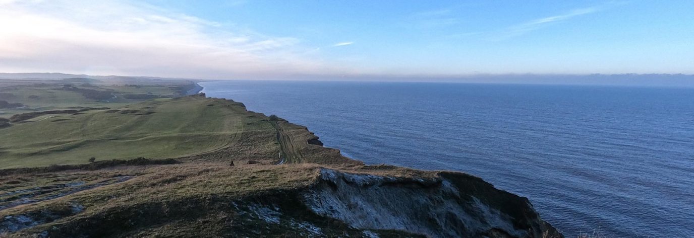
This six mile circular walk will take you down the meanders of the Cuckmere to the Seven Sisters visitor centre and then back through Friston Forest along the South Downs Way. If you’ve time and energy it’s worth extending the route down to the coast to take in the view of the Seven Sisters cliffs.
SEVEN SISTERS ROUTE IN OS MAPS

Seven Sisters – Image: SDNPA
6. Find walks with OS Paper Maps
Never explore without one
Stay safe, and stay active with Britain’s most accurate outdoor maps
Be inspired to do more and go further by equipping yourself with the best tools for the job. Our maps are built on 227 years of experience – we keep walkers, runners, cyclists and more safe in the great outdoors all year round.


