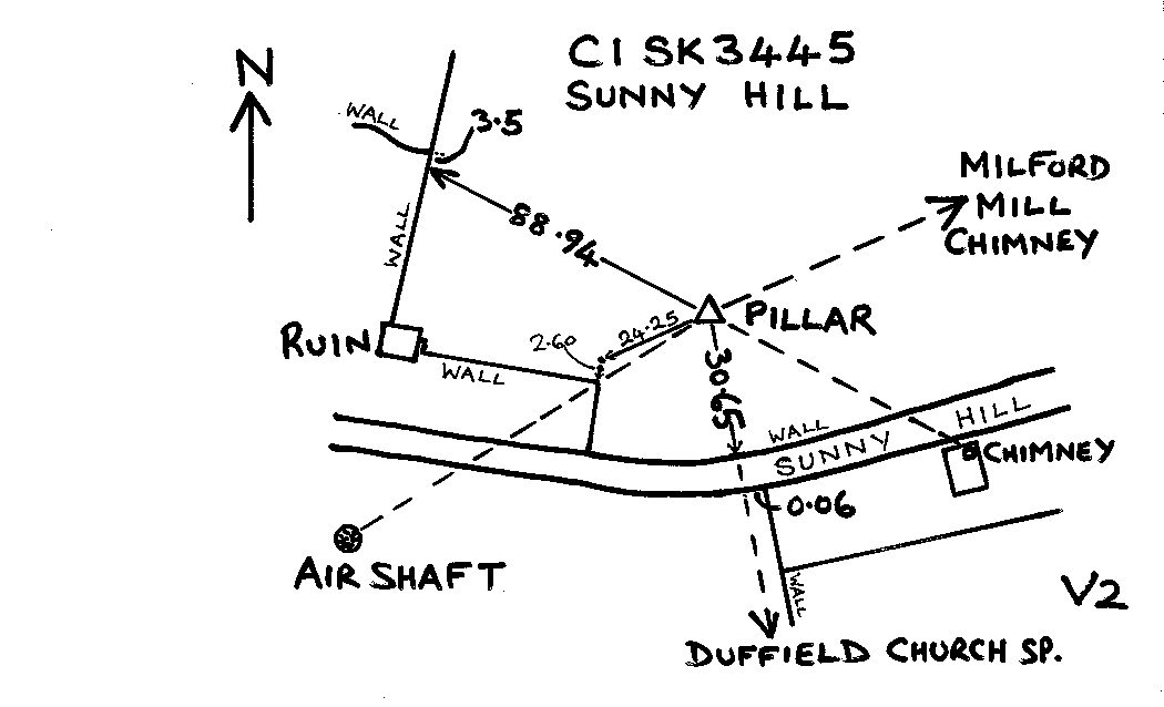
Overview
- Type of mark
- Pillar
- Flush bracket
- S4530
- Grid reference
- SK346451
- Access to mark
- foot
- Keys required
- Yes
- On Landranger sheet
- 119
Click to buy - On Explorer sheet
- 259
Click to buy - Permission required
- Yes
Coordinates of this station
ETRS89 Cartesian
- X
- 3845305.7121
- Y
- -99711.4320
- Z
- 5070824.1551
ETRS89 Geodetic
- Latitude
- N 53 ° 0' 7.567589"
- Longitude
- W 1 ° 29' 7.390521"
- Ellipsoid height
- 175.130
National Grid (Transformed by OSTN15/OSGM15)
- Eastings
- 434632.187
- Northings
- 345097.576
- Height
- 125.629
NB: If 'permission required' is Yes at top of this form, the land owner or agent's permission must be obtained before accessing the mark.