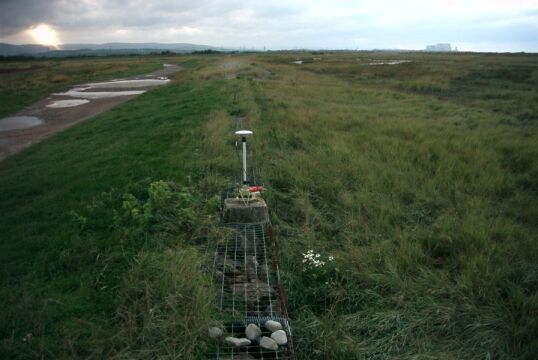
Overview
- Type of mark
- Pillar
- Flush bracket
- S3232
- Grid reference
- ST261454
- Access to mark
- foot
- Keys required
- No
- On Landranger sheet
- 182
Click to buy - On Explorer sheet
- 153
Click to buy - Permission required
- No
Coordinates of this station
ETRS89 Cartesian
- X
- 3998855.0705
- Y
- -213762.7135
- Z
- 4947712.3927
ETRS89 Geodetic
- Latitude
- N 51 ° 12' 7.755575"
- Longitude
- W 3 ° 3' 35.602663"
- Ellipsoid height
- 58.254
National Grid (Transformed by OSTN15/OSGM15)
- Eastings
- 326047.470
- Northings
- 145305.806
- Height
- 7.657
NB: If 'permission required' is Yes at top of this form, the land owner or agent's permission must be obtained before accessing the mark.