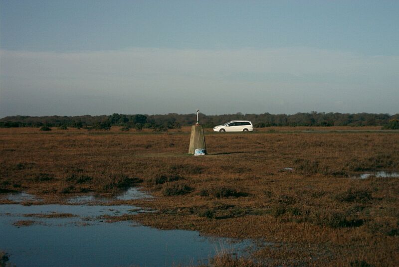
Overview
- Type of mark
- Pillar
- Flush bracket
- S2718
- Grid reference
- SU244151
- Access to mark
- foot
- Keys required
- No
- On Landranger sheet
- 184
Click to buy - On Explorer sheet
- 22
Click to buy - Permission required
- No
Coordinates of this station
ETRS89 Cartesian
- X
- 4026076.3100
- Y
- -116214.1300
- Z
- 4929126.5500
ETRS89 Geodetic
- Latitude
- N 50 ° 56' 6.117456"
- Longitude
- W 1 ° 39' 12.254479"
- Ellipsoid height
- 171.949
National Grid (Transformed by OSTN15/OSGM15)
- Eastings
- 424450.882
- Northings
- 115123.074
- Height
- 125.180
NB: If 'permission required' is Yes at top of this form, the land owner or agent's permission must be obtained before accessing the mark.