PARD: a process to identify vulnerable citizens
On 1 December, Falkirk experienced a gas network failure which led to thousands of people being left without heat in freezing temperatures. Ensuring vulnerable people received the support they needed was a priority, so having the Persons at Risk Database (PARD) in place was key. With PARD in place, gas infrastructure company SGN and Falkirk’s Health & Social Care Partnership were able to get to the homes of the vulnerable and elderly efficiently.
What is PARD?
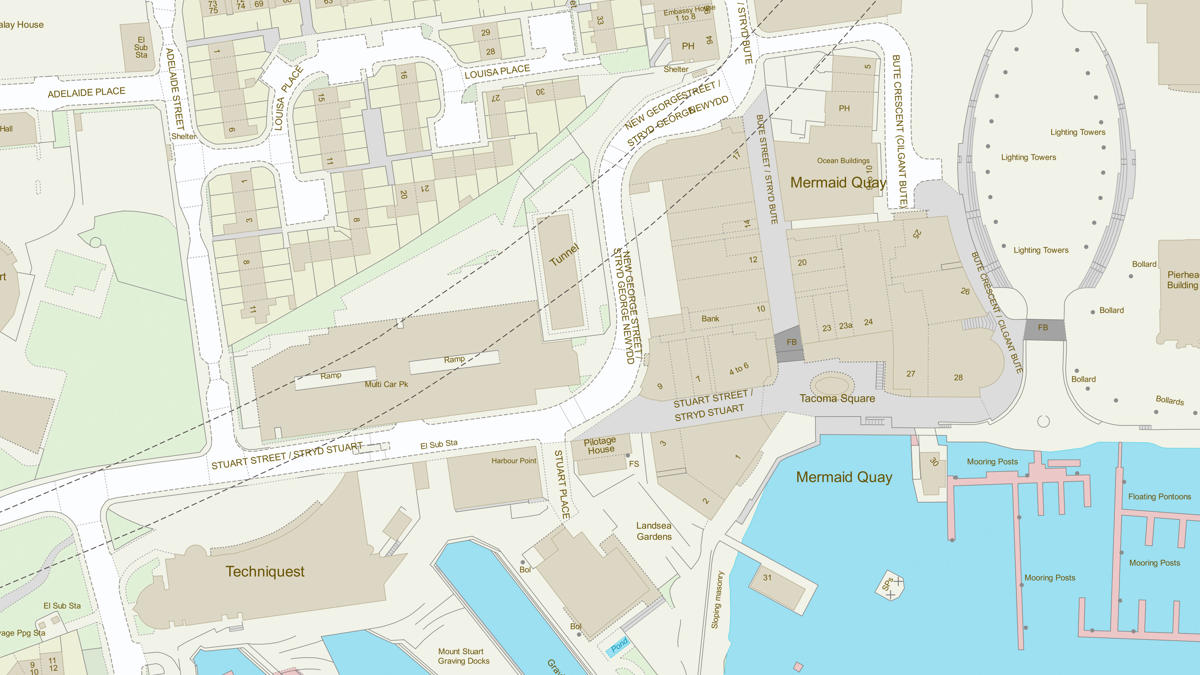
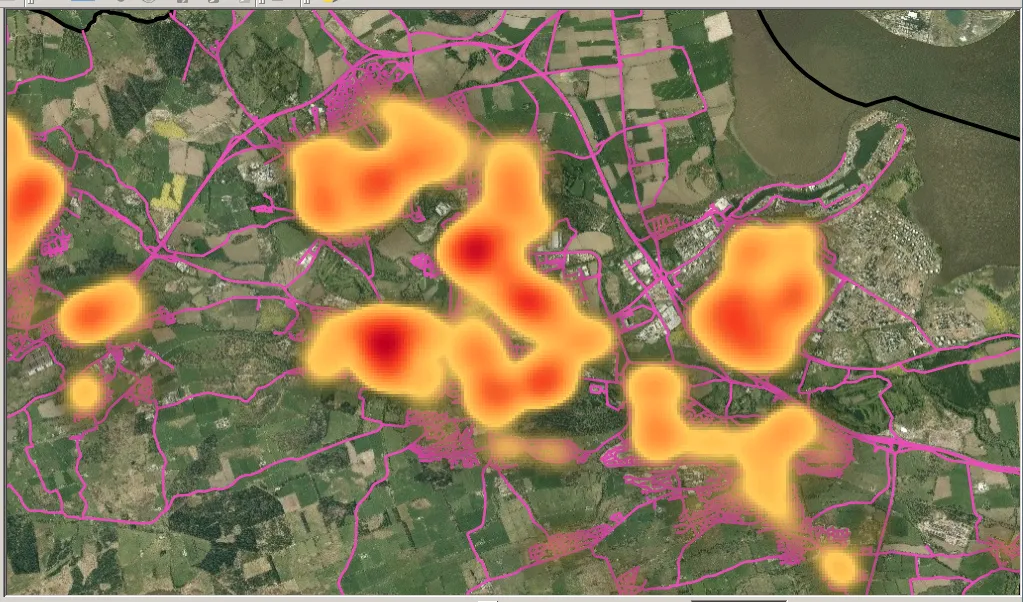
Created by Avais and his team, PARD uses OS addressing data to enable almost immediate identification of people at risk in the event of fires, floods, power cuts or other emergencies. PARD is used to quantify the level of response required for various scenarios and enables Falkirk Council to play out mock scenarios using various datasets including OS MasterMap Topography Layer. This blend of data can be used to identify roads and properties that may be more susceptible to flooding and much more.
How did PARD start?
Following an electricity outage to 50,000 homes in January 2012, there was an understanding for the need to quickly identify those in our communities who required priority assistance. Falkirk Council worked with Scottish Power to consider a solution to reaching the most vulnerable.
A further incident in November 2012 in a neighbouring authority took out the gas supply to 3,500 homes and the report highlighted the “need to pursue a solution to quickly acquire, match and process data relating to vulnerable persons across a range of agencies to enable appropriate care and support responses to be put in place”. Avais was participating in the debrief of this incident when he realised that it could take several hours for emergency services to identify vulnerable people when a major incident occurs.
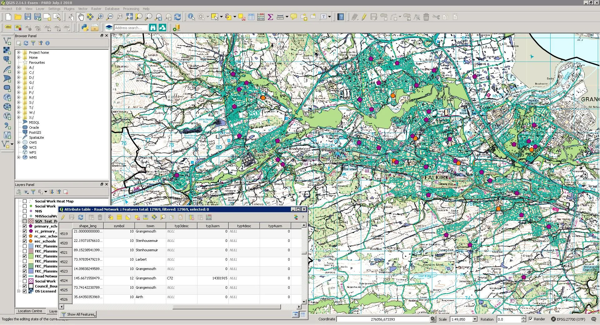
By using OS data alongside that from the council and NHS Forth Valley, Avais came up with a model to speed up and streamline the whole process. This data was cleansed and uploaded to an electronic mapping system which, in a matter of minutes, can carry out quick analysis on map-based data.
This data is held in a secure and reliable Geographic Information System (GIS) and uses an open source GIS to keep costs to a minimum for Falkirk Council.
Accessible by staff 24 hours a day and from any location, this system ensures the council can rapidly identify the number of vulnerable people living near a major incident or living in high-rise tower blocks.

PARD in action
In 2018, the PARD system won 2 Alarm Risk Awards for Partnership and Resilience. This led to it being picked up by the Scottish Government, which has paid tribute to the Falkirk team for its help in developing a Scotland-wide system.
Avais Ijaz: “Falkirk Council’s Persons At Risk Database (PARD) works on the premise that it’s up to date with sensitive and critical information and accessible remotely 24hrs a day 7 days a week. Part of the PARD’s data store includes accurate addressing data from Ordnance Survey which has been used successfully in mock test scenarios and several genuine emergency events, each time helping underpin the output of the PARD whilst fulfilling the strict requirements of “Always on & always up to date” to warrant its inclusion in an award winning critical response tool. The PARD might be called upon at any point in emergency situations and the only way to guarantee up to date background mapping is using Ordnance Survey products via a WMS service.”
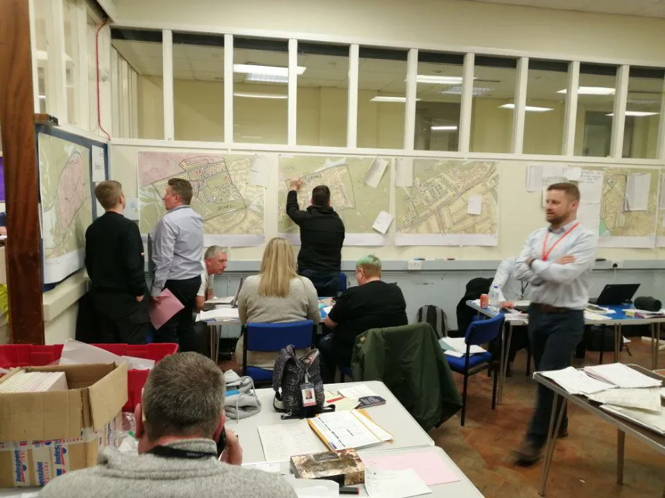
As a result of creating this digital map, Falkirk Council’s Resilience Planning team can now pro-actively plan for incidents in terms of vulnerable individuals as well as test various mock scenarios. At a touch of a button, information can be accessed quickly, effectively and electronically.
The Persons at Risk Database has been endorsed by the Forth Valley NHS Medical Director and the Director of Development Services for Falkirk Council. The work is being held up as good practice for other councils and Health Boards and steps have been taken to explore the possibility of offering the same level of success Scotland wide.
Discover more
You can discover more from the case study on PARD.

Our highly accurate geospatial data and printed maps help individuals, governments and companies to understand the world, both in Britain and overseas.
Products and solutions featured in this blog
OS MasterMap Topography Layer
A map dataset of Great Britain's landscape – from roads to fields, to buildings and trees, fences, paths and more.