Mapping nature - climate change resilience and managing deforestation with geospatial data
Land-use conflicts are typified by efforts to balance agricultural land and natural landscape. In Indonesia, the world’s largest producer of palm oil, this is a contentious and internationally-recognised issue, characterised by large-scale deforestation of dwindling rainforest to make way for palm trees.
The Indonesian government's dedication to overcoming this conflict requires cross-governmental support as well as advanced technologies. BIG is Indonesia’s Geospatial Information Agency, tasked with ensuring reliable and accessible geospatial information to support national development programmes and resource management. Geospatial technology has been recognised as hugely influential in managing large-scale, complex issues such as the regulation of palm oil plantations.
In particular, the One Map policy being finalised by BIG and other Indonesian authorities will provide a singular, unified map for the whole country with the same database, standard, and geo-referenced system. Ineffective mapping of the past resulted in many overlapping claims for land use and ownership, limiting the ability of the government to effectively track the use of land for palm oil and other industries.
Improved use of geospatial data is helping Indonesia to achieve a range of other Sustainable Development Goals (SDGs), including the sustainable management of land-based ecosystems, by integrating it with tailored statistical data. Working in partnership with various ministries and agencies, we are intensifying mapping of the status and characteristics of our natural resources, both on land and at sea, unlocking vital insights that can help tackle climate change and protect citizens.
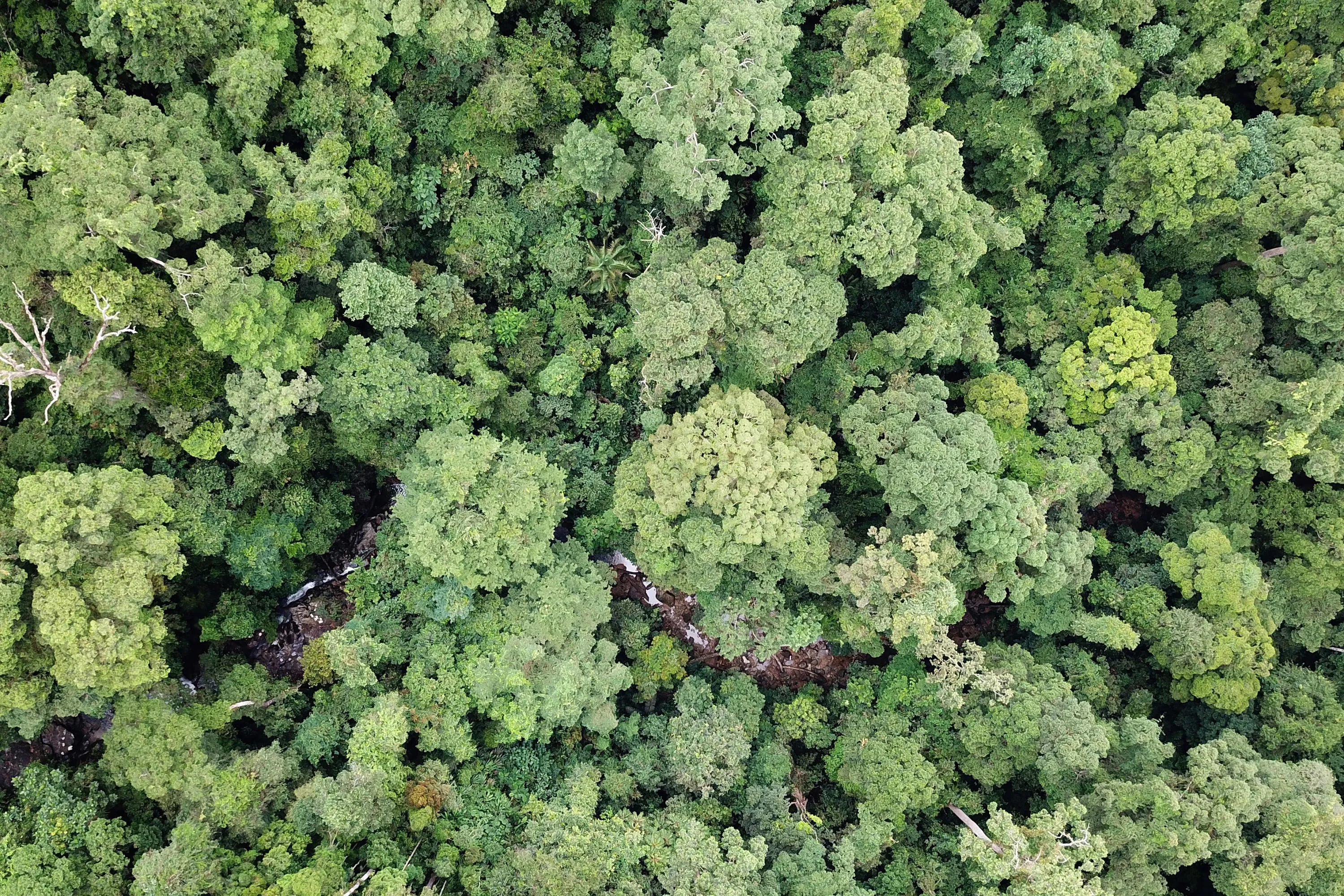
Indonesia is the world’s fifth-largest emitter of greenhouse gases, largely due to the conversion of forests and carbon-rich peat into agricultural land. These shifts in land use have ecological and social consequences, as Indonesia’s forests are home to thousands of plant and animal species, and according to WRI Indonesia, a non-profit affiliated with the World Resources Institute, 50-60 million Indonesians depend directly on the forests for their livelihoods.
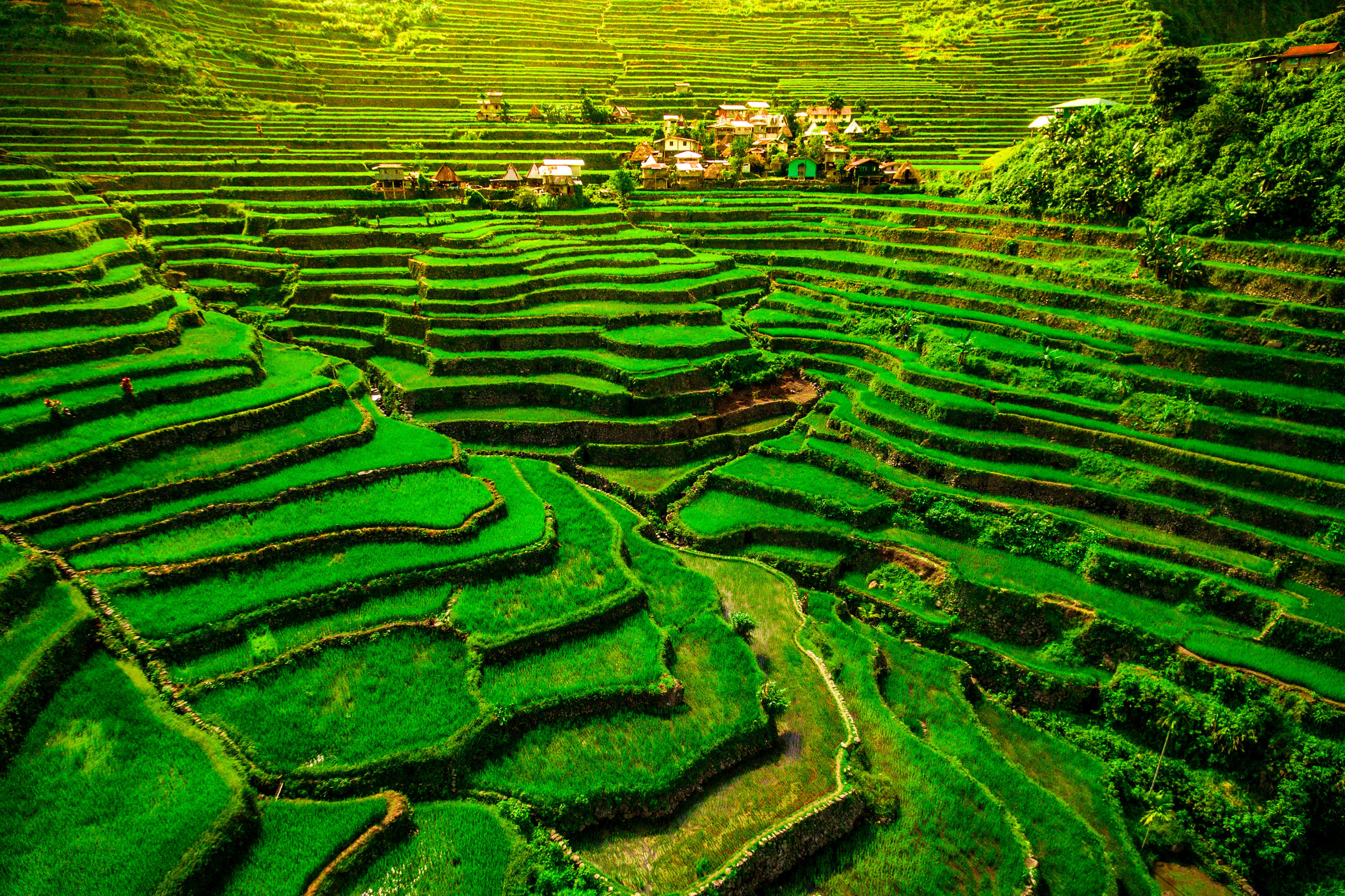
The country is also set to be one of the hardest hit by climate change – predicted to experience a temperature increase of approximately 0.8°C by 2030. The impact on temperature and seasons will affect the agricultural sector, plantations, fisheries, and other areas central to the Indonesian economy, causing major socio-economic problems. Geospatial data can be used to understand the pace of these climatic changes, and their potential impact on society, by integrating basic maps with thematic information. For example, with rice field maps, rainfall data and satellite imagery to analyse rice yield productivity in climate-change-induced extreme weather, or with sea-level rise and tide gauge data to predict impact on the fisheries sector.
Using geospatial data to inform
Indonesia is especially vulnerable to various types of natural disaster. As well as trying to mitigate the impact of climate change, we are maximising the use of geospatial data to inform mitigation and adaptation in response to the threat of earthquakes, tsunamis, floods and volcanic eruptions. Integrated thematic maps are again critical, with anthropogenic data and land use being combined to analyse the risk of forest fires in a given area.
As part of the commitment to tackling climate change as well as improve the wellbeing of citizens, the palm oil industry is an area of significant focus – Indonesia’s government aims to enhance sustainability and governance of this business, starting by determining the ‘national palm oil area’. Using data from various government ministries and palm oil stakeholders, we developed a map of the industry’s land use as an important instrument to manage the scale of plantations, ensuring there is an agreed source of information.
Mapping land cover is a key method to track deforestation, however this is very challenging in Indonesia since it covers a vast tropical region of about 1.9 million square kilometres. There is also a relatively permanent cloud coverage over many regions, which hampers the effectiveness of optical remote sensing imagery.
At present many investment programmes in Indonesia are hampered because of incomplete or conflicting mapping across the country – the acceleration of the One Map policy is a massive but crucial task for BIG. It can be used to produce maps that represent the SDG indicators in certain areas, as well as support various government programmes including settlement of regional border conflicts, acceleration of regional economic development, and of course, palm oil mapping.
Combined with relevant local statistics, location data can be used to improve social, economic and environmental outcomes in any country – for example, it can illustrate GDP indicators such as road networks, economic centres and population density, show access to health services, education, and level of poverty. Combined with environmental monitoring and location-informed decision making, geospatial data has the potential to transform Indonesia’s industries, public services and economy.
There is a long way to go before we have reached the limits of geospatial data use. In the future, artificial intelligence, IoT, big analytics and blockchain technology will have a bigger role in geospatial information. BIG plans to implement these technologies in initiatives such as autonomous data acquisition, map updating and integrated data analysis, to progress further towards our goal of a more sustainable and peaceful Indonesia, and provide resilience against climate change.
See a brighter future: meet your sustainable development goals
Find out more about how geospatial data can help the fight against climate change and help you protect people, planet and prosperity

Head of the Geospatial Information Agency of Indonesia (BIG)