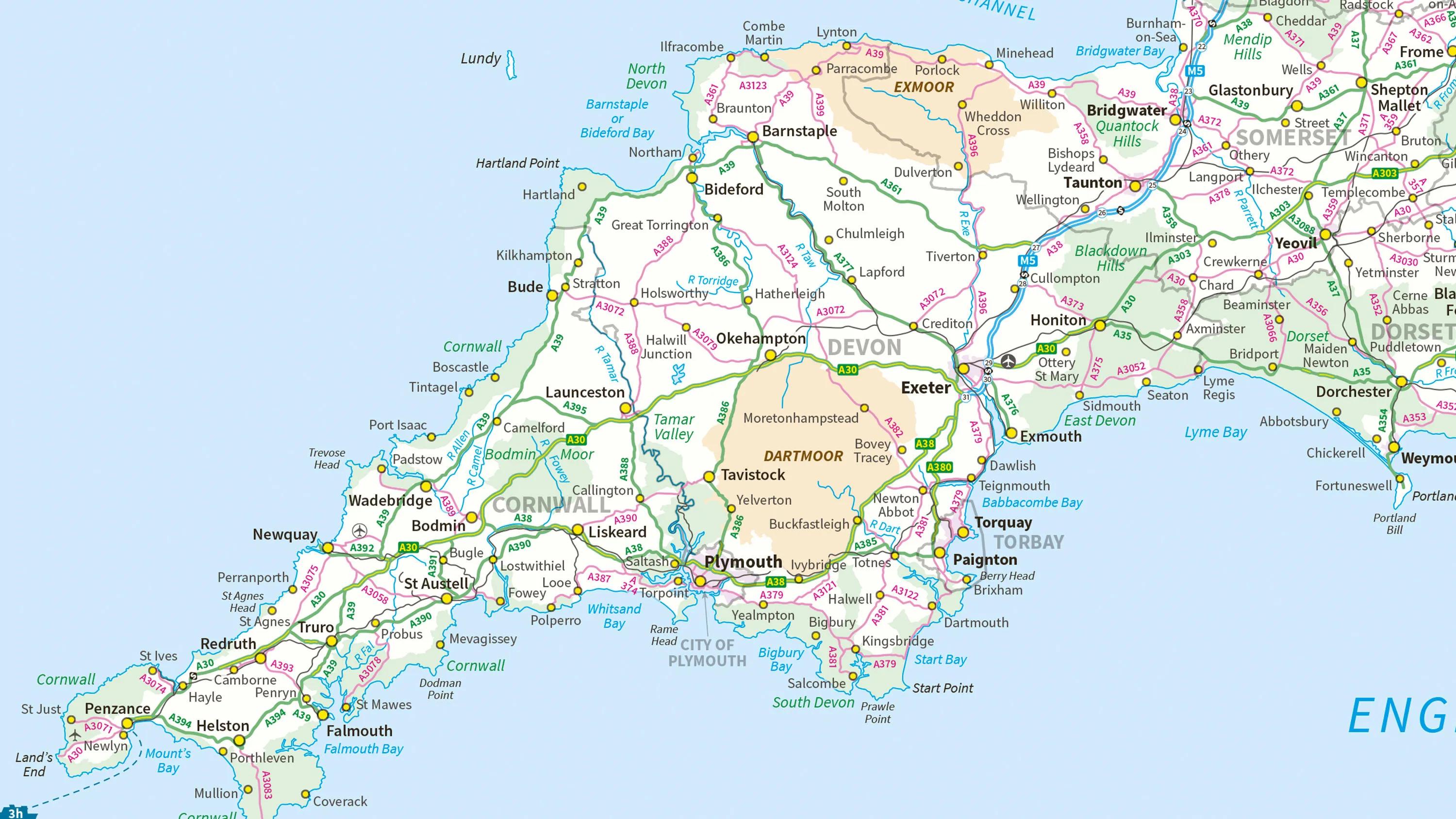
1:250 000 Scale Colour Raster
What 1:250 000 Scale Colour Raster provides you with
Backdrop mapping
A regional backdrop map, containing motorways, main roads and country lanes.
Places of interest
Clearly identify places of interest, including camping and caravan sites.
Free to use
Free to view, download and use for commercial, education and personal purposes.
Use cases
- Intended for strategic planning and long-distance navigation.
- Contains tourist hotspots, driving tourism in your area with a recognised map for visitors to plan their days out.
- Available in various colour options with a palette of 256 colours.
Related products
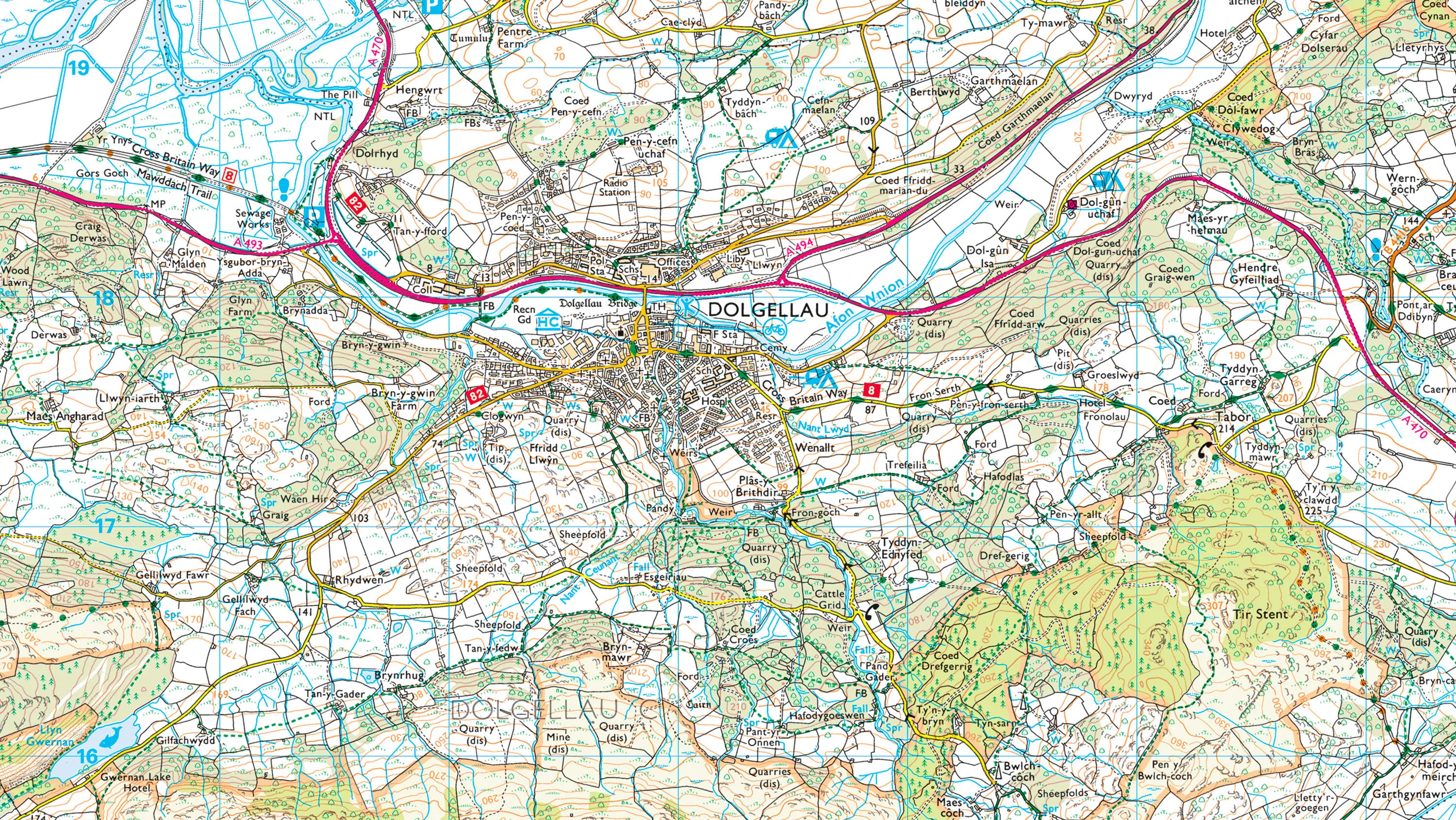
1:50 000 Scale Colour Raster
1:50 000 Scale Colour Raster is the digital alternative to Ordnance Survey's OS Landranger paper map series for Great Britain.
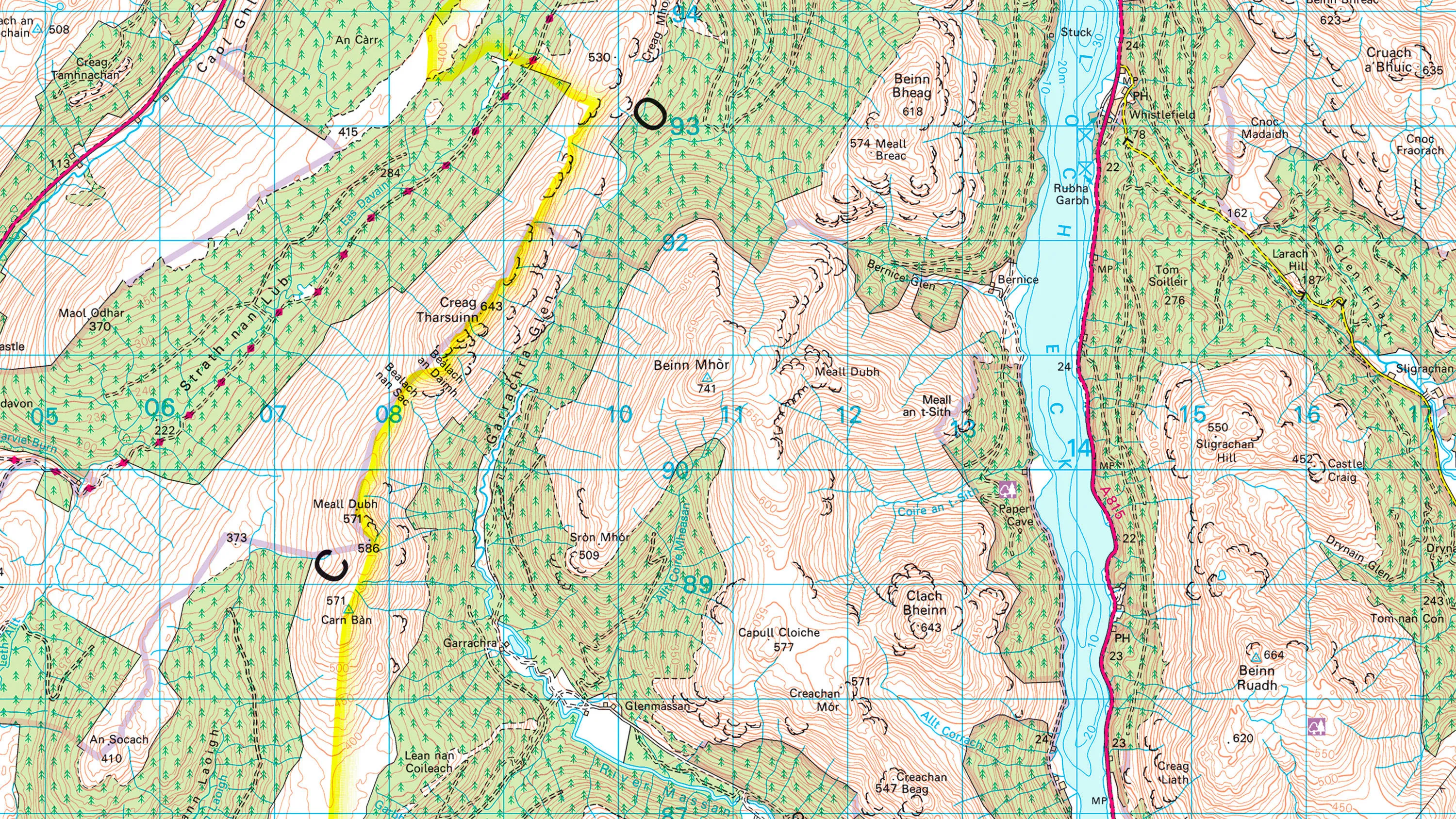
1:25 000 Scale Colour Raster
1:25 000 Scale Colour Raster is the digital alternative to Ordnance Survey's OS Explorer paper map series for Great Britain.
MiniScale
Ordnance Survey's MiniScale is an open national backdrop map of Great Britain.