1:25 000 Scale Colour Raster
Try this product with free sample data
Download a small area of 1:25 000 Scale Colour Raster. Or try out the real thing by applying for a Data Exploration Licence.
What 1:25 000 Scale Colour Raster provides you with
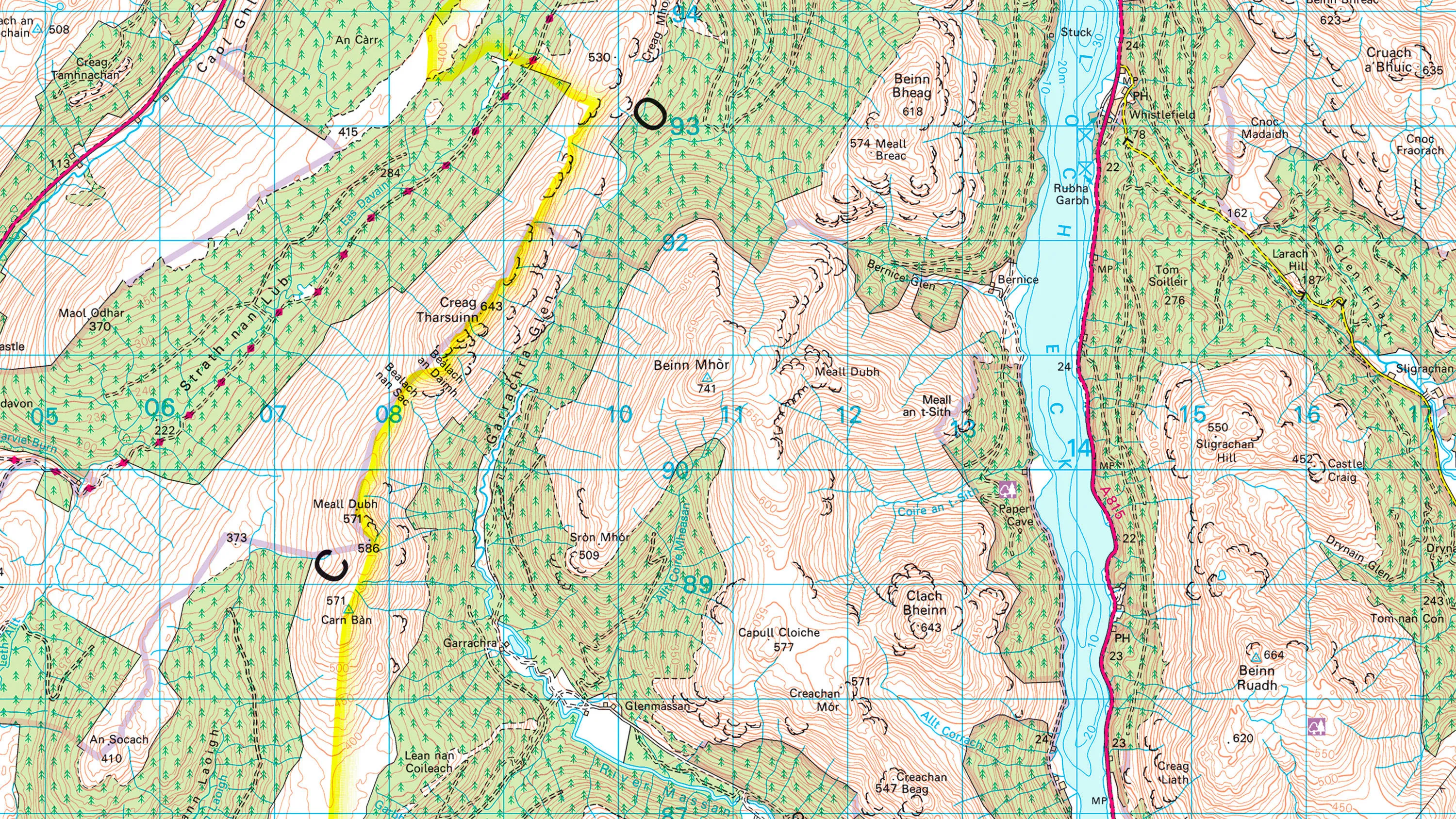
Must-have map for hikers and cyclists
1:25 000 Scale Colour Raster is the must-have map in any navigation app or device for hikers and cyclists. It depicts the landscape with detail and clarity that’s unsurpassed at this scale.
Easy software annotation
When you need map extracts for a consultation document, or a magazine for walkers, 1:25 000 Scale Colour Raster TIFF files can be opened and annotated in software like Photoshop and InDesign.
Retina resolution
We give you 1:25 000 Scale Colour Raster at a resolution of 254 dpi – and Partners at a staggering 660 dpi – so it looks stunning on today’s high-resolution displays, whether on desktop, tablet or mobile.
Plenty of places to visit
Tourist and heritage attractions of many types are shown on this mapping, so leisure app users can use it to find their way to a place of interest, whether it breaks up a day’s walking or keeps the kids amused on a rainy day.
Use cases
- Helping ramblers and landowners: Along with a wide range of rights of way – footpaths, bridleways, National Trails and more – 1:25 000 Scale Colour Raster shows 'access land' that’s open to all. Thanks to this level of detail, visitors can enjoy the countryside and keep out of trouble.
- For emergency responders, this map can help you quickly and safely to incidents in remote areas. Field boundaries are included, along with contours, vegetation, scree and shoreline detail.
Related products
1:50 000 Scale Colour Raster
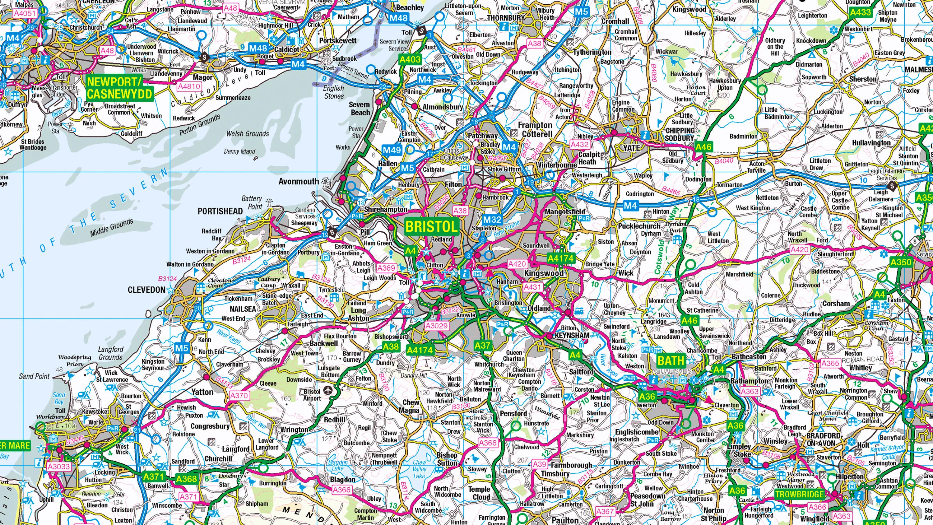
1:50 000 Scale Colour Raster is the digital alternative to Ordnance Survey's OS Landranger paper map series for Great Britain.
1:250 000 Scale Colour Raster
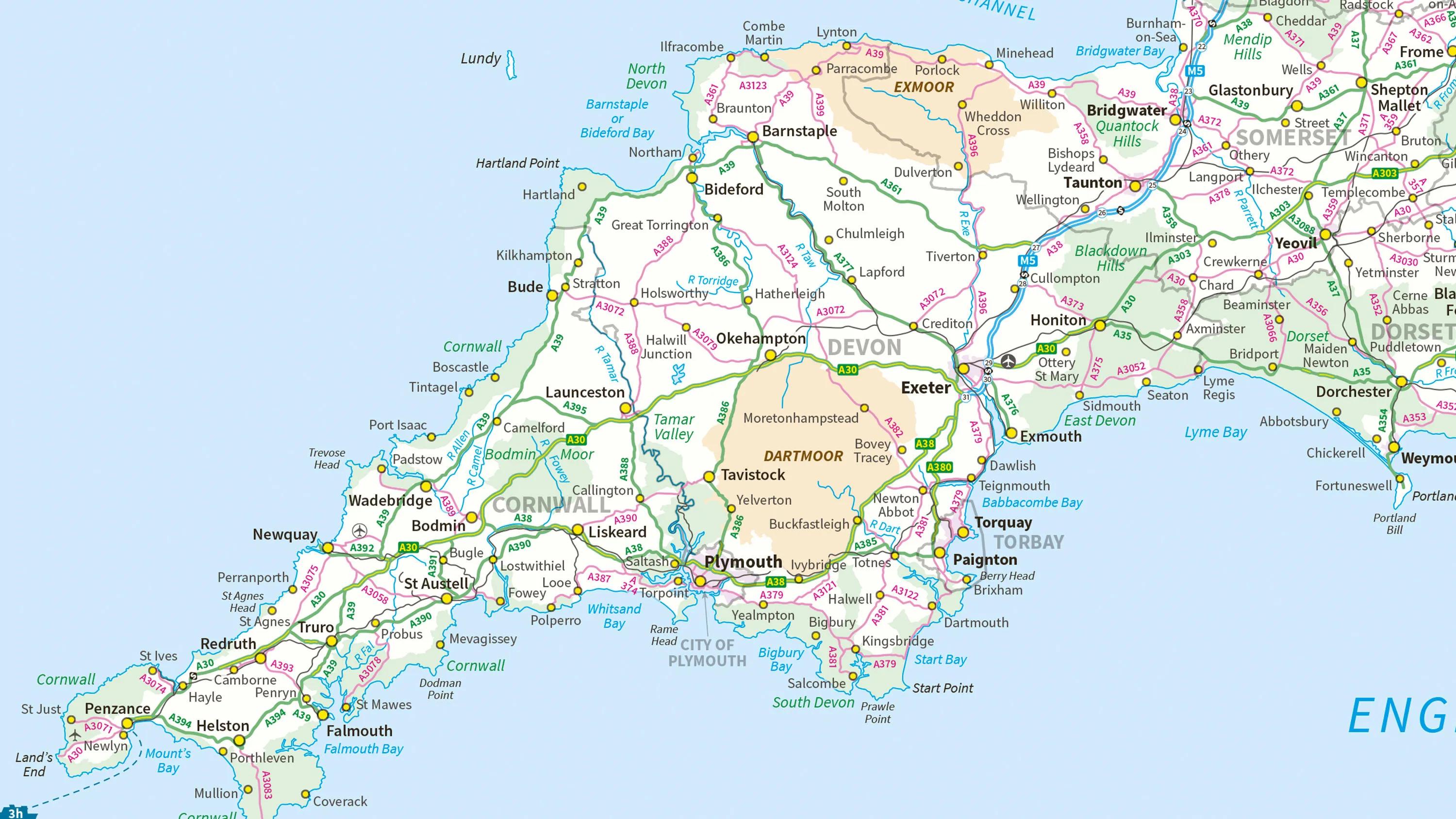
1:250 000 Scale Colour Raster is an open dataset of the regional view of towns and villages, roads and places of interest.
MiniScale
Ordnance Survey's MiniScale is an open national backdrop map of Great Britain.