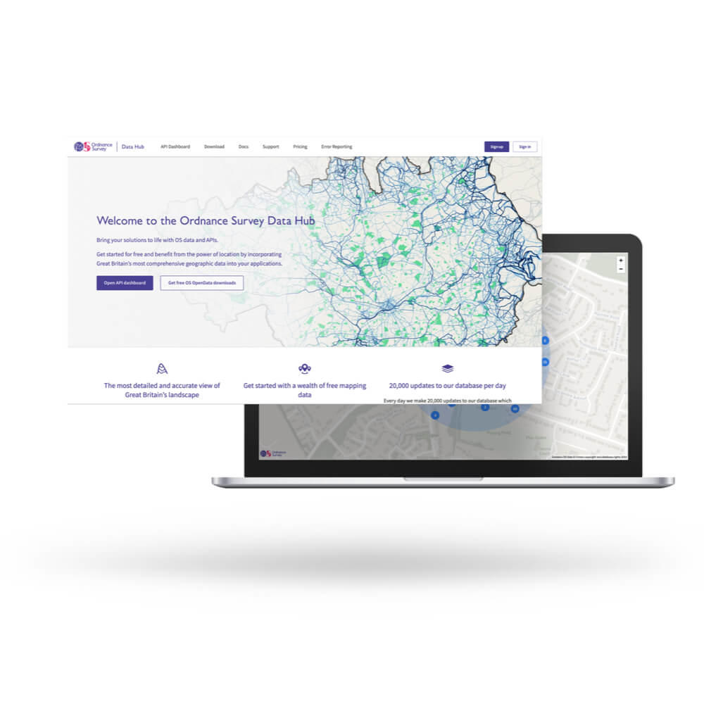
We achieved the goals of the project, which were:
Significantly more geospatial data fully open for businesses and developers to use, free and without restriction
- We published an OS Open TOID dataset, with a generalised XY coordinate, for all buildings, structures, land cover and transport infrastructure.
- We published a list of all UPRNs with their XY coordinates, OS Open UPRN.
- We published OS Open USRN with simplified line geometry.
- We extended the type of derived data licensees will be able to publish under open terms.
- Our Open ID policy enables and encourages the use of our identifiers to join datasets and combine the value of our data with the value of yours.
Established businesses and start-ups can deliver new products and services with the data using the free threshold
Some businesses will not need to pay at all for their use of OS data because of the free threshold.
- You can use premium data up to the royalty-free threshold of £1,000 per calendar month, or in development mode.
- The £1,000 worth of free transactions each month with give you access to our most detailed dataset OS MasterMap, as well as our renowned 1:25 000 and 1:50 000 datasets – with each being available to anyone to use for developing apps, products and services for use by 3rd parties, including the public – using either OS’s APIs or their own APIs.
- You may not need to pay at all for your use of OS data if your monthly usage falls below the £1,000 free threshold.
- Three APIs will use this free threshold: OS Maps API, OS Vector Tile API and OS Features API.
- Unlimited, free access to OS OpenData via APIs for anyone to use for any purpose.
New innovations are now possible in the housing market
The use of the identifiers released under the PSGA to join a range of currently published government data, with the potential new datasets that will be released as a result of the changes to the derived data and Open ID policies could lead to identification of sites suitable for building new homes.
New users can understand the pricing structure for the data more easily, removing uncertainty around cost of use
We've designed straightforward pricing plans tailored to meet the needs of customers.
Publish data in new ways to improve the quality of the data and make it easier to use
We developed and launched OS Open Zoomstack and improved the format for nine of our OpenData products. They're available in Geopackage format, an open standard from the Open Geospatial Consortium.
Going forward we'll be releasing our premium datasets in new formats, making them even easier to use.
Getting different parts of OS data to work together better with open identifiers
We launched an OS Open Linked Identifiers dataset as OS OpenData and an OS Linked Identifiers API.


