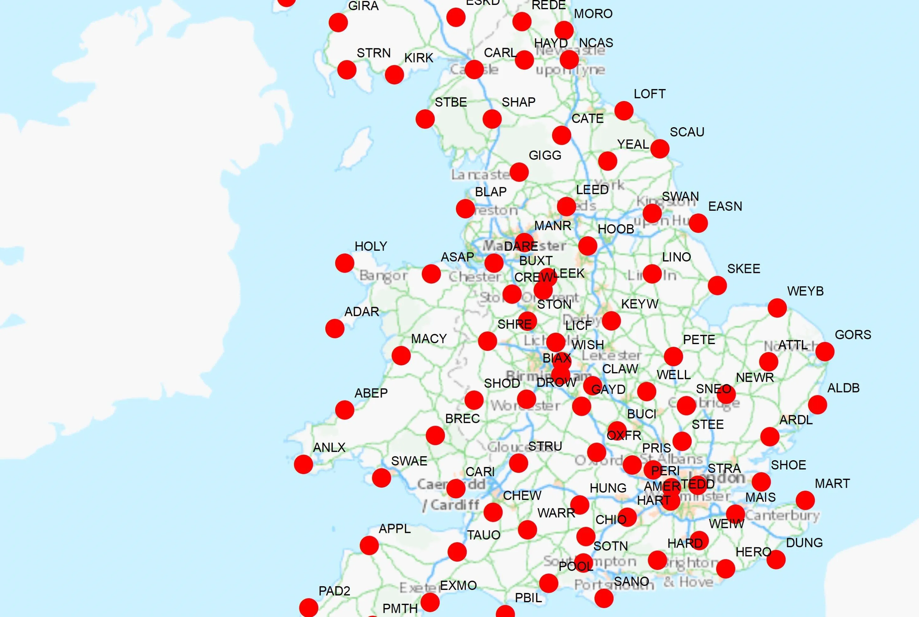
OS Net is our highly accurate and resilient network of Global Navigation Satellite System (GNSS) base stations across Great Britain.
OS surveyors use real time corrections derived from the OS Net network to accurately survey map features using the latest GNSS technology. OS Net-based real time positioning services are available to other surveyors via our commercial partners, listed below.
Why is OS Net important?
OS Net is a critical component of the infrastructure for realising our national coordinate systems in Great Britain. The national coordinate systems we use are ETRS89, OSGB36 National Grid, and Ordnance Datum Newlyn (ODN).
OS Net makes the accurate determination of these national standard coordinates much easier and more efficient for land surveyors, compared to traditional (pre-GNSS) surveying methods. It is now possible to determine precise ETRS89 coordinates for your GNSS control stations with a single GNSS receiver, without ever leaving the survey site.
These coordinates can be instantly and precisely transformed to OSGB36, National Grid and ODN height coordinates. Therefore, a greater range of mapping, engineering and environmental projects can now use precise national coordinates than was ever possible before.
Full information about coordinate systems and transformations is available in our guide to coordinate systems in Great Britain (PDF).


