OS NGD API – Tiles

Enhance your mapping applications with OS NGD API – Tiles. Get access to detailed and accurate OS NGD data and customisable styling to create versatile and interactive maps that can adapt to your needs.

  • OS National Geographic Database
  • API
  • Public Sector Plan
  • Premium Plan

This product is updated weekly

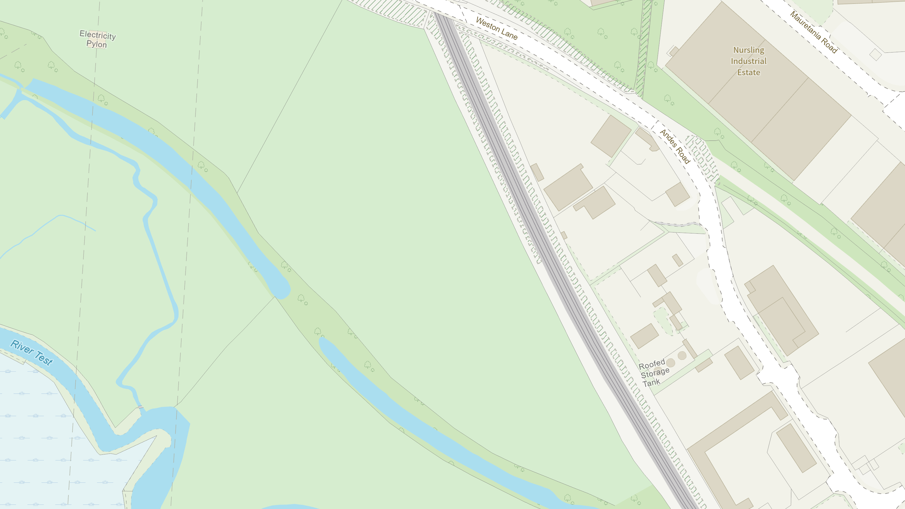
Representation of data provided

What OS NGD API – Tiles provides you with

Design your perfect map

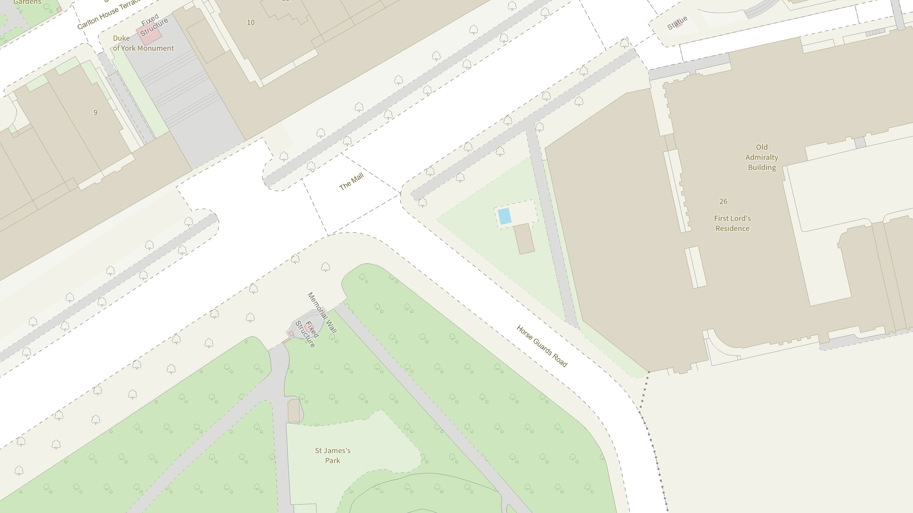
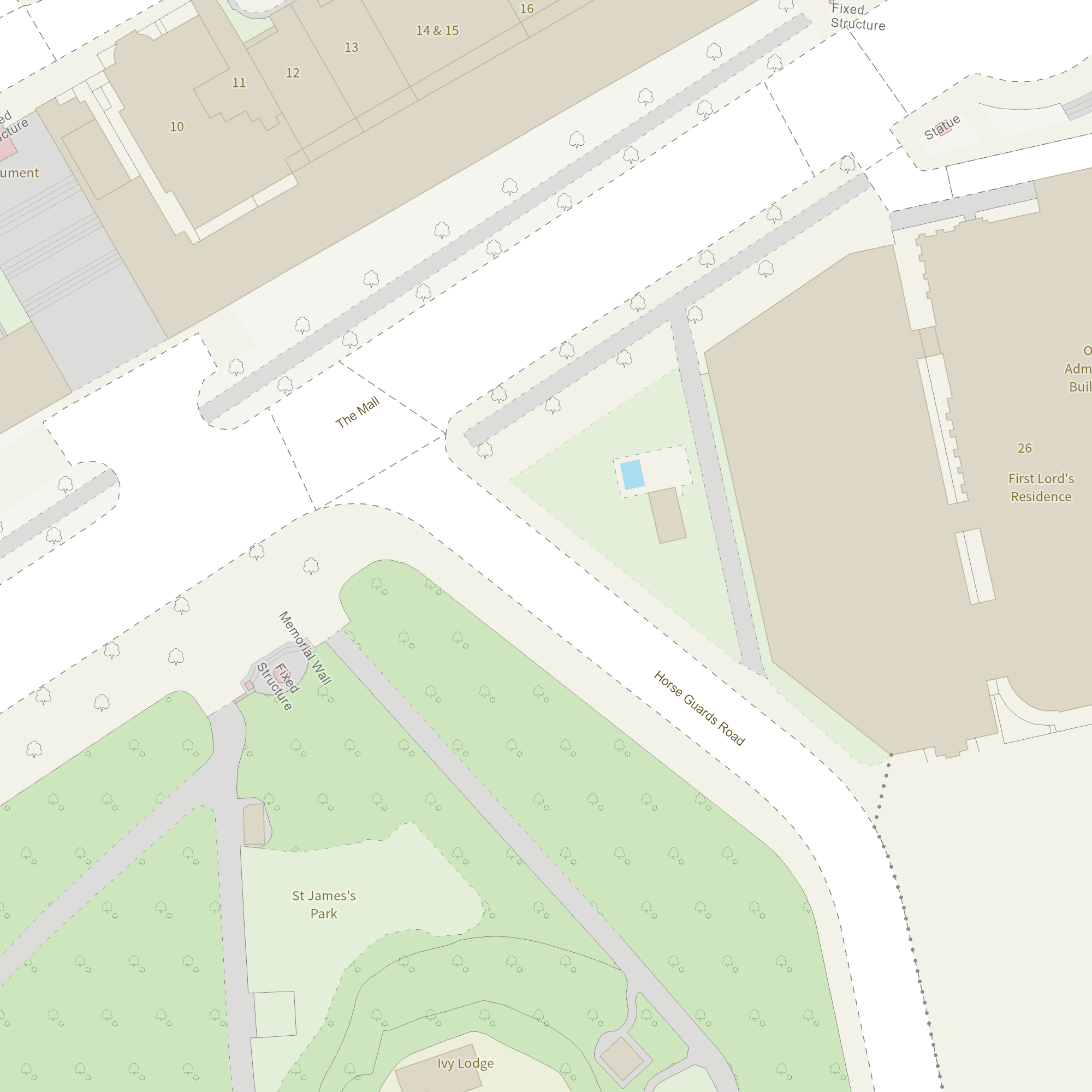
With OS NGD API – Tiles you can customise your maps to perfectly meet your needs. You have a choice between using Ordnance Survey styles or creating your own. Design appealing and informative maps that match your brand and unique needs.
Access to OS NGD

Access to rich, accurate and up-to-date OS NGD data in an interactive map allowing you to design versatile, user-friendly and powerful maps.

Ideal for interactive maps

OS NGD API – Tiles can be used with most web mapping libraries including OpenLayers, MapLibre GL JS and Leaflet. Vector Tiles have the benefit of being optimised for use across the internet and are perfect for interactive web maps.

Benefit from vector data

Vector Tiles combine the benefits of map tiling with the power and flexibility of vector data. With OS NGD API – Tiles you can select and interact with the individual map features. The OS NGD features contain their OSID (a unique identifier) so you can filter, select, link and visualise.

OS NGD API – Tiles

Technical information

Specifications

Use cases
  • OS NGD API -Tiles is great for cartographers, designers and developers to create slick, quick vector maps with all the detail of Ordnance Survey data.
  • Vector Tiles have the benefit of being optimised for use across the internet and are perfect for interactive web maps.
Access
  • API
Data theme
  • Multiple
Data structure
Vector
Coverage
Great Britain
Scale
National scale to building scale (1:5,000,000 to 1:1250)
Format
  • Vector Tiles (.pbf)
Ordering area
  • All of Great Britain
Publication months
  • January
  • February
  • March
  • April
  • May
  • June
  • July
  • August
  • September
  • October
  • November
  • December
OS Data Hub plan
  • Public Sector Plan
  • Premium Plan

Additional information

What projections are available?

OS NGD API – Tiles has two projection options; British National Grid (EPSG: 27700) and Web Mercator (EPSG: 3857).

OS NGD API – Tiles

Get this product

What you get

Key features
  • Design your perfect map
  • Access to OS NGD
  • Ideal for interactive maps
  • Benefit from vector data
Category
OS National Geographic Database
Access
  • API
Data structure
Vector
Update frequency
Weekly

How to access

Businesses

Ordnance Survey's commercial network of Partners can help you with bespoke location solutions, derived from OS data

Ranging from global giants to single entrepreneurs, our Partners all use our location data to create innovative products and services. Their expertise ensures customers can benefit from using our data for a range of services. Find a partner using national geographic database data.

Find a Partner

Our Partners

Download Premium data from the OS Data Hub

If you're an OS Licensed Partner you can use the OS Data Hub to access OS data products and manage your account all in one place.

Read guidance for Partners

Government and public sector

OS Data Hub for PSGA members

If your organisation is a member of the Public Sector Geospatial Agreement, access the OS Data Hub to access our products.

Go to the OS Data Hub

Get help

Further support

For further help about how our data can transform your organisation, contact us today

Contact us