Guide to making map reading fun for children in schools
Adrian Hall of Active Outdoor Discovery is an Outdoor Activities Instructor, Mountain Leader and Expedition leader – and has spent the last few years inspiring school children to learn all about maps. Here is his advice on how you can make maps fun for kids to support their education and help them learn important life skills.
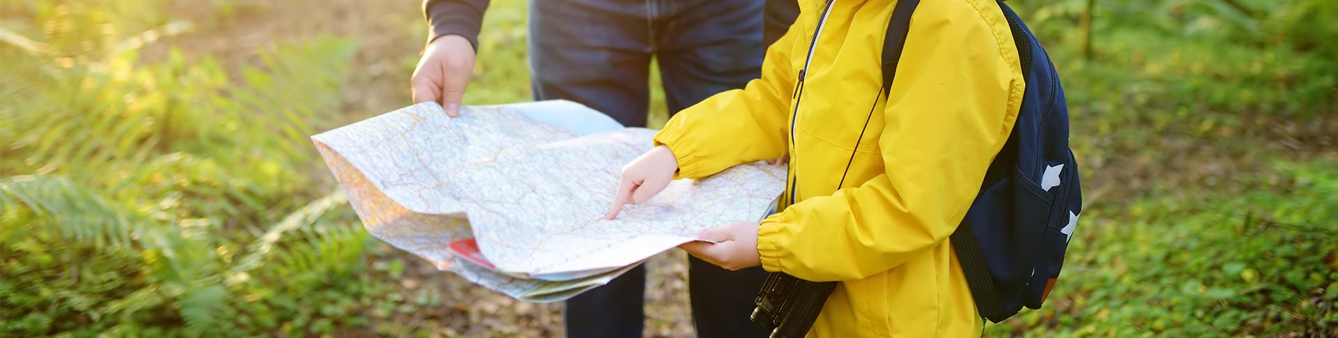
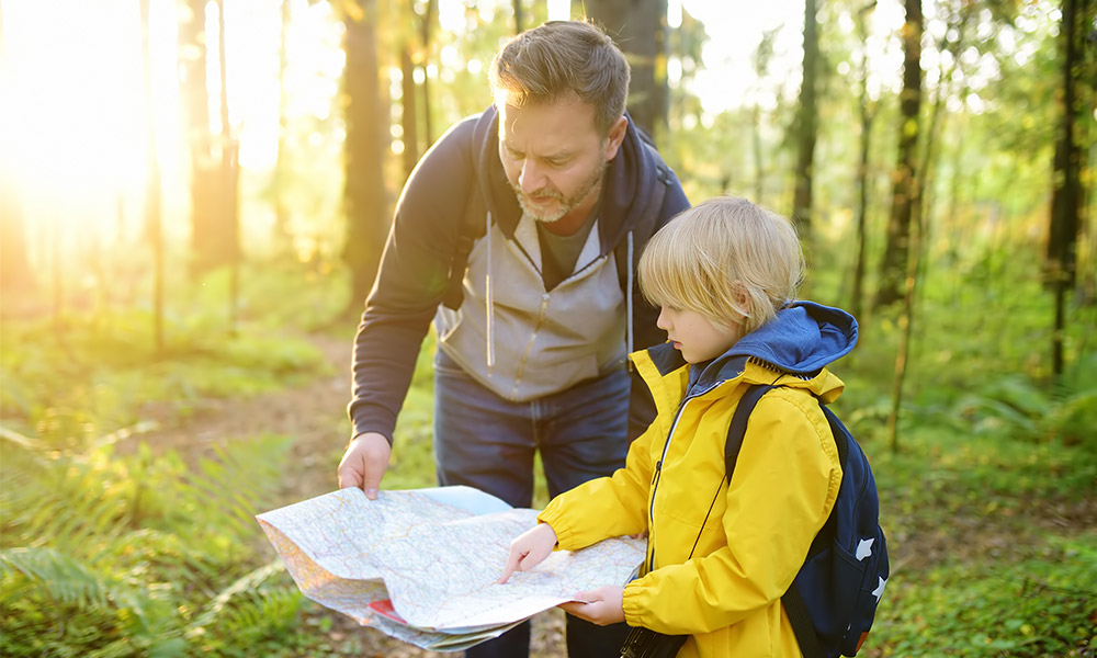
Children are fascinated by maps. Walk into a classroom and, without preamble, unfold an Ordnance Survey map and lay it on the floor. Talking stops, interest piqued. “Your school is on this map!”. Stand back as children crowd round and crawl over the map. “What’s that?”. “Where’s the school?”.
For many year, I’ve been visiting the primary schools of East Anglia and beyond, introducing children to the wonderful world of maps and navigation. And I’ve seen this scene play out countless times.
The ability to interpret a map is a key life skill. Even in an age where GPS and Google maps play a greater and greater role, the ability to take information from a 2D image, whether that be on an “old school” sheet of paper or a mobile phone, and relate it to the world around is as important now as it has ever been.
Maps work fine, up to a point, indoors. But to get children really engaged, and really having fun, you need to get outside. Our climate is “changeable”. Predictably unpredictable. It’s fine to take maps (and children) outside when the sun isn’t shining. It’s all part of the adventure. An adventure which doesn’t require leaving your school grounds.
Maps, and using them to find your way around, are all about two key elements – distance and direction. I work with groups from Reception age classes, through to Year 6. The vocabulary and session content varies to be age-appropriate, but these two themes are constant.
Whatever the age of the children we’ll start by looking at some OS maps. I’ll freely admit to being hopelessly biased. In my opinion, the maps of our Ordnance Survey are the finest in the world. Not just in the treasure trove of information they deliver, but because they’re aesthetically beautiful things. Their true genius lies in giving just the right level of information – just enough to tell you the important things that you really need to know but sparingly enough to enable you to see the wood from the trees.
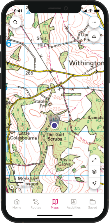
Map symbols and colours
What do those colours on the map mean? The blue? The green? Do you know what kind of trees are growing in that wood? Have a look – the map tells you.
Map symbols are a good starting point. Some are familiar – a “P” in a box for example will be familiar to many, some can be guessed at, some are a little more abstract. It’s a good job there’s a handy key present on all maps for those ones.
Grid references
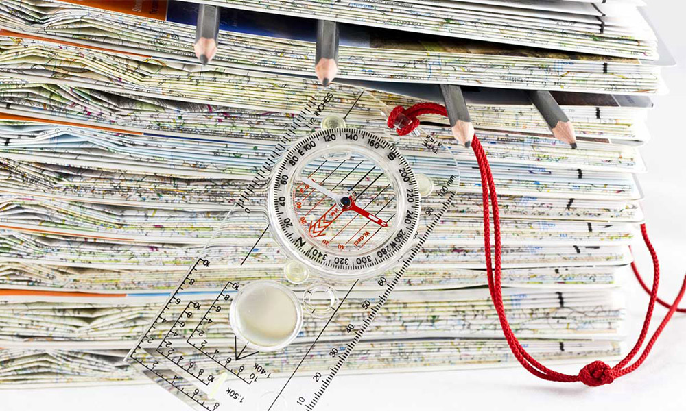
The grid. Did you know one side of each of those blue squares is one kilometre in length? Want to know roughly how far apart two locations are? Count the squares between them. I tend to steer clear of four-figure grid references, they’re not overly useful and are difficult to comprehend – “I’m going to specify a square kilometre on this map by defining the location of its bottom-left corner” begs the question – why? Six-figure grid references make much more sense to older children and adults alike. Explain where the third and sixth digits come from and everything becomes clear. A ruler works just as well as the roamer on a compass for measuring increments between the grid lines.
On most maps, the direction “North” is toward the top of the map. It shouldn’t be any more important than any other direction, but in reality, it is. If you know where North is, you can work out any other direction.

Map scale
Scale is something that a lot of children are familiar with, even if they don’t know it. A lot of them will understand zooming in and out on Google maps. Unaware that what they’re doing is changing the scale. Take two OS maps showing the same area, one with a 1:50000 scale, the other with a scale of 1:25000, pick a feature with a defined boundary common to both, a lake works well. “What’s the difference between the lake on map one and map two?” One’s big, one’s small. Scale in a nutshell.
Contour lines
Contours are on one level very easy to explain and understand, and on another a whole lot more difficult. Essentially, the more of them you can see, the higher the hills. If they’re really close together, the sides of the hill are very steep. If there are big gaps between them, the slope is gentle. A 3D relief map shows altitude and the shape of hills to life in a really clever way.
Look at these marvellous maps outdoors. If the weather is not so great, retire to an outdoor classroom if you have one. If you have to, look at the maps indoors, but always with the promise of getting outside as soon as possible. Dressed appropriately for the weather, of course.
Measuring distance
A child of four can measure distance pretty accurately with no equipment. They might not know that’s what they’re doing, they’re just counting steps and having fun. But measuring distance is what they’re doing. Counting paces gives you a ruler in your feet. A ruler you could measure all sorts of things with. If you walk to school, you could count steps all the way home. For older children, the use of time spent walking a known distance is an accessible alternative measure.
Key Stage 1
For Key Stage 1 groups, I find that “directions” are best approached with something big and visual, a map on the playground made out of rope. Norfolk is my home county and it’s a nice simple coastline to draw. Children mark key locations and we work out which direction you would need to travel in to get from Cromer to Norwich, for example. A pirate’s Treasure Island or a Dinosaur Island work just as well.
Key Stage 2
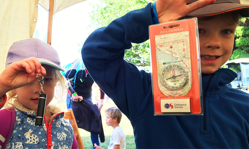
For Key Stage 2 classes, I’ll get out a box of compasses, show what the various bits do and how they work together. Then give the children the chance of setting a real bearing. You can complete the story by showing them how to take a bearing from a map. For an additional bit of general knowledge, the use of stars to find North.
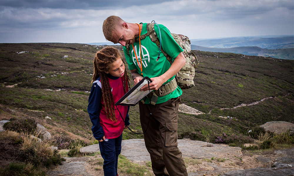
And to bring it all together and practice a few of those new skills, an orienteering challenge! With a simple map of the school grounds, children hunt for lettered flags. You don’t need a massive area, just an area with things in it which can be marked on the map and children can navigate by. As an exercise in spatial awareness, this will come easier to some than others. The concept of orientating the map usually helps some pennies drop.
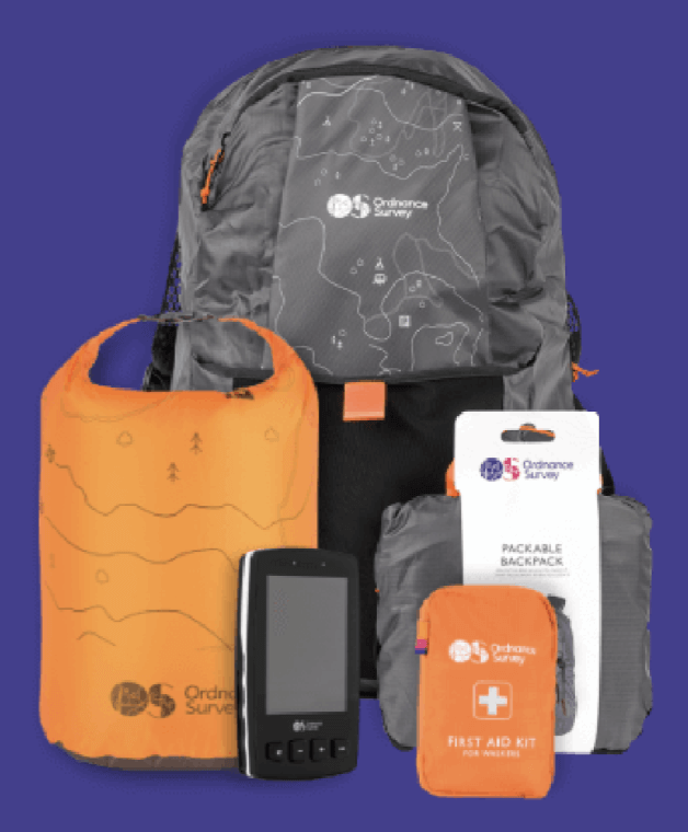
My top tip? If you’re buying an Ordnance Survey map for use with school groups, go for the weatherproof laminated version which is referred to as an Active Map. More expensive, but pretty much indestructible.