Unlock the secrets of Ben Nevis with our comprehensive guide to the best walking routes to the top. Discover breathtaking paths, where to park, and essential information about facilities, terrain and difficulty.
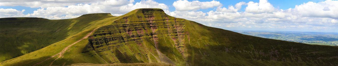
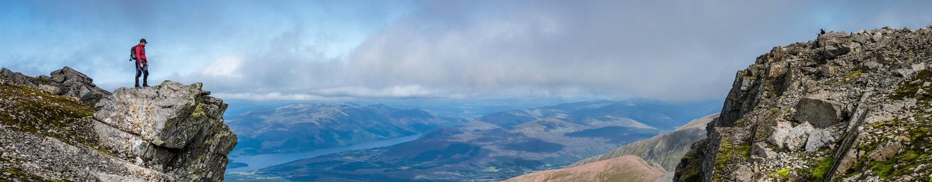
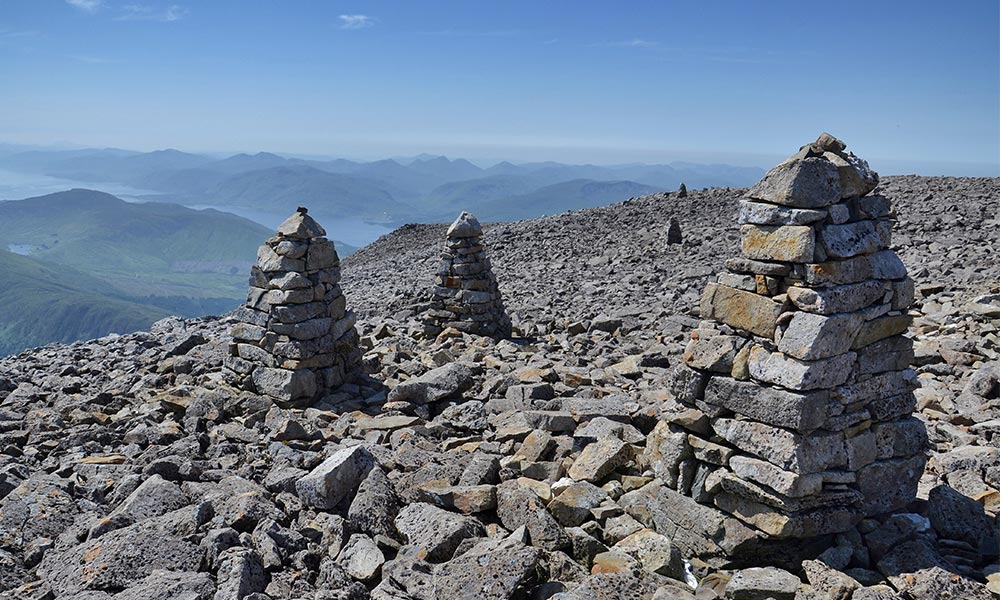
Ben Nevis summit
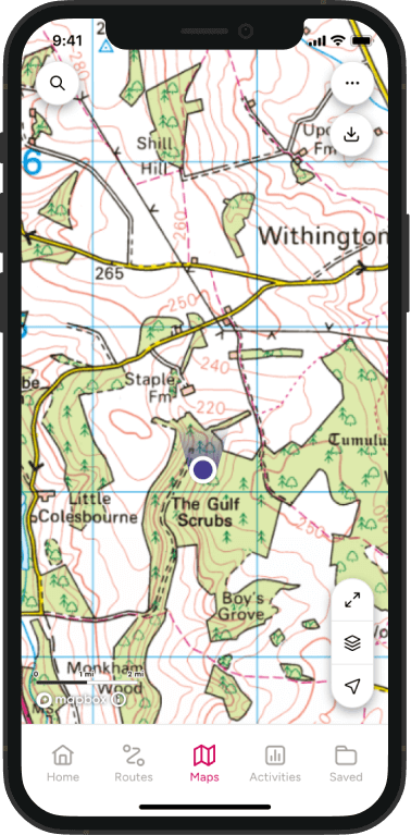
Follow the below links to OS Maps for detailed routes, or find the paper Ben Nevis maps for your trip at the end of this article.
- The Mountain Track (Pony Track or Tourist Track)
- Carn Mor Dearg Arête from Torlundy
- The Ledge route
- Stob Coire Bheal Aich from Steall
Let’s delve into the world of Ben Nevis walks to help you plan your best adventure yet!
Ben Nevis height
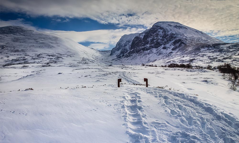
Located in the Scottish Highlands, Ben Nevis is the highest mountain in Britain standing at 1345m tall. Ordnance Survey re-measured Ben Nevis in 2016 and found it to be one metre more than the last measurement in 1949. Many years ago, Ben Nevis was an active volcano and today it makes up part of the Grampian Mountain range. 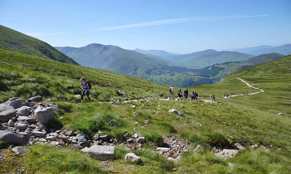
Walking up Ben Nevis
Every year, over 150,000 people from across the world reach the summit of Ben Nevis. There are several ways to reach the top, some more strenuous than others, but all boast the same incredible scenery that you’ll remember for years to come.
The town of Fort William is just a short drive from the trail heads (or a walk if you have it in you!) and there are a handful of car parks at the base of the mountain, mostly around the Ben Nevis Visitor Centre where you can find toilets during opening hours.
Ben Nevis is best walked in summer, which is unsurprisingly busier, as the weather tends to the better. Please check the mountain forecast before you set off and brush up on your mountain safety stills too – Mountain Rescue offer some great advice.
Now, lets look at some of the best routes up Ben Nevis, of varying difficulty, to help you plan your walk to the top.
Ben Nevis routes
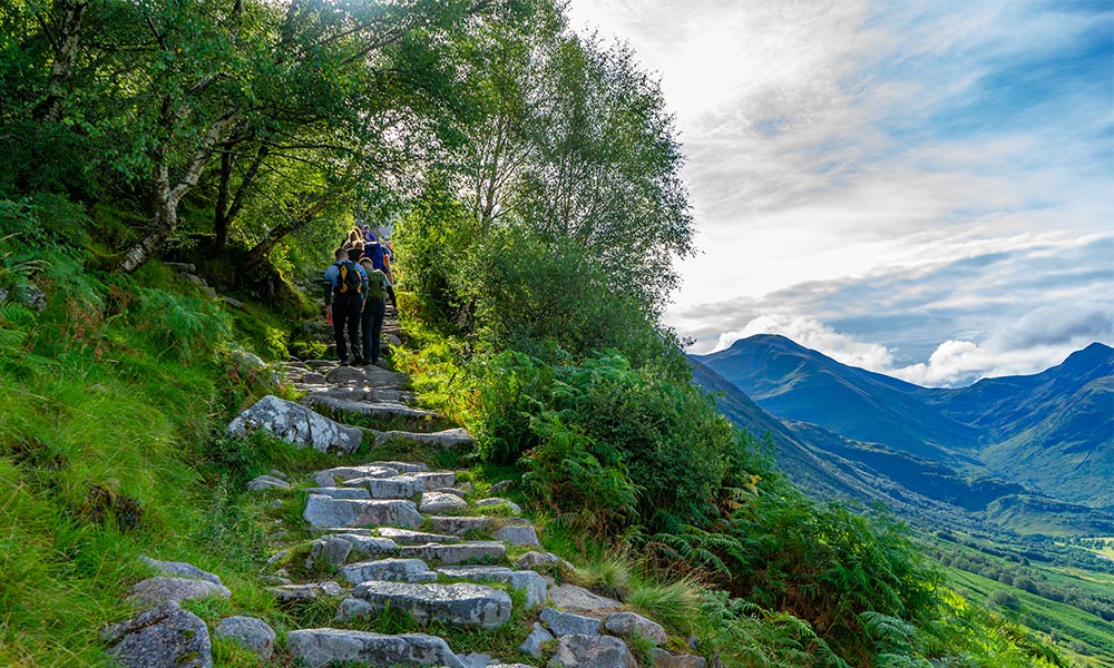
The Mountain Track (Pony Track or Tourist Track)
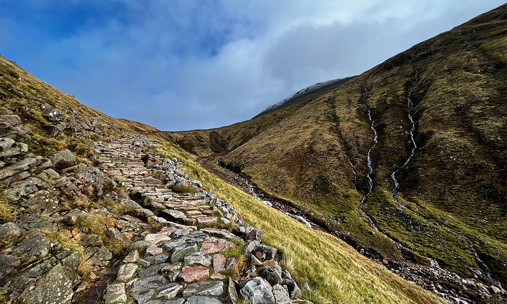
Best for: beginners seeking a rewarding ascent, considered the easiest route to the top.
Distance: the route is around 16.5km there and back and will generally take six to nine hours, depending on conditions and your normal walking speed.
This is the simplest and most popular route up Ben Nevis. It begins at Achintee Road Car Park on the east side of Glen Nevis about 1.5 miles (2km) from Fort William town centre. You can also join it from the Glen Nevis Visitor Centre car park on the other side of the River Nevis where it can be easily accessed using the footbridge and following the path for to where it joins the Mountain Track.
Good to know
- Where to park: commence your journey from the Achintee Road Car Park or the Glen Nevis Visitor Centre car park, offering convenient parking for your Ben Nevis adventure
- Facilities along the route: The well-trodden Mountain Track is equipped with emergency phones and shelters. There are no toilets or food/drink options en route.
- Terrain underfoot The path boasts a mix of gravel and rocky terrain, ensuring a manageable yet exciting underfoot experience.
Carn Mor Dearg Arête from Torlundy
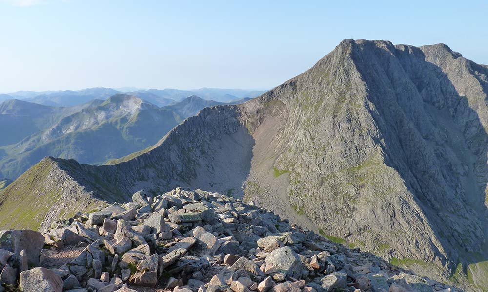
Best for: experienced hikers seeking an exhilarating challenge.
Distance: 10 miles / 17km
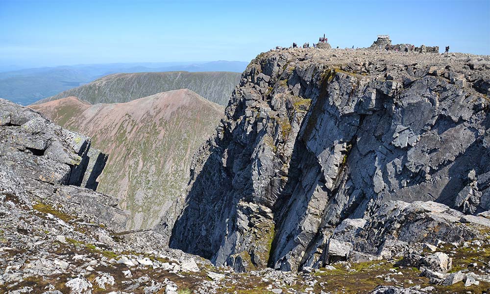
For the more experienced walkers, the Carn Mor Dearg Arête (CMD) route starts at Torlundy North Face car park, a few miles north-east of Fort William on the A82 road. Follow the path alongside the Allt a’ Mhuilinn or you can follow the Mountain Track as far as Lochan Meall an t-Suidhe (halfway lochan) and taking the left fork. You will pass the spectacular North Face cliffs, Castle Ridge, Carn Dearg Buttress and Trident Buttress.
Take the steep ascent of Carn Dearg Meadhonach before an easier slope leads to Carn Mor Dearg and then continue along the breathtaking Carn Mor Dearg Arete before climbing steeply to the summit of Ben Nevis itself.
Good to know
- Where to park: Embark on this thrilling route from the North Face car park.
- Facilities on the route: Expect fewer amenities on this less-frequented path, emphasizing self-sufficiency and preparation.
- Terrain underfoot: With challenging terrain and exposed ridges, solid hiking shoes are essential for tackling the CMD Arete.
Ledge route
Best for: seasoned hikers seeking a unique and less-travelled journey.
Distance: 12.5 miles / 20km
Starting at the North Face car park, the path leads you through breathtaking scenery. As you ascend, the route becomes a thrilling scramble, with hands-on climbing over rocky ledges. Navigation skills are crucial, as the path isn’t always obvious.
Along the way, you’ll be treated to stunning views of Ben Nevis’s rugged cliffs and the Scottish Highlands. The Ledge Route, less crowded than the Mountain Track, offers a sense of solitude amidst nature’s grandeur. Expect a challenging yet rewarding journey to climbing Ben Nevis.
Good to know
- Where to park: The North Face car park.
- Facilities during the walk: Limited facilities along the Ledge Route demand preparedness.
- Terrain underfoot: Navigate uneven terrain and scrambling sections, requiring good navigation skills and a head for heights.
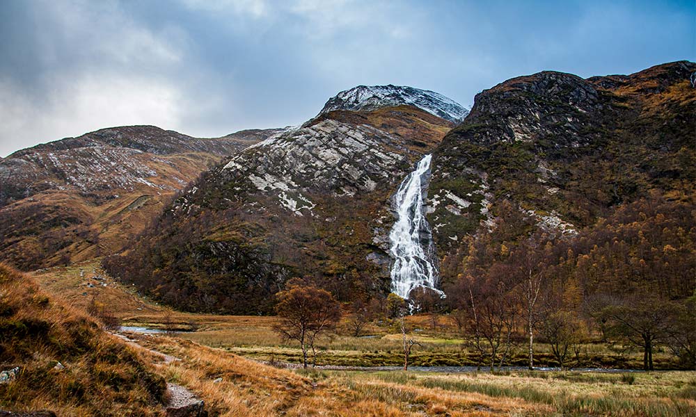
Stob Coire Bheal Aich from Steall
Best for: experience hikers with good fitness and mountain navigation skills.
Distance: 13 miles / 21km.
Embarking on the Steall to Stob Coire Bhealach route offers a unique and challenging way to experience Ben Nevis, perfect for those seeking an off-the-beaten-path adventure with rewarding highland views.
This is a dramatic route, with tough, steep climbs. Crossing between Aonach Mor and Carn Mor Dearg is an energy-sapping descent and climb, followed by a relatively flat, but still challenging ridge walk to the summit.
From here you can follow the Mountain Track and continue to Fort William or return the way you came. Ideal for seasoned walkers looking for a less-trodden path and a more solitary experience with nature. Not recommended for beginners or those uncomfortable with heights and rough terrain.
Good to know
- Where to park: Your journey starts at the Steall car park, situated in the Nevis Gorge. This car park is a bit more remote, offering a quieter start to your hike
- Facilities on the route: This route is more isolated, with minimal to no facilities along the way. It’s essential to be self-sufficient, carrying enough water, food, and emergency equipment.
- Terrain underfoot: The Steall to Stob Coire Bhealach route presents a variety of terrains. Expect rugged, steep paths, with grassy slopes transitioning into rocky and uneven surfaces as you ascend. The path is less defined compared to more popular routes, requiring careful navigation.
Climbing Ben Nevis: more than just a walk
Weather conditions on Ben Nevis walks
Be prepared for changing weather conditions; pack waterproofs and check the mountain forecast to ensure a comfortable journey.
Wildlife encounters:
Ben Nevis is a haven for diverse wildlife. Respect their habitat and enjoy observing ptarmigans and mountain hares from a distance.
Leave no trace:
Preserve the beauty of Ben Nevis by adhering to “Leave No Trace” principles. Carry your waste, minimizing your environmental impact. Always follow the Scottish Access Code.
Safety Essentials:
Inform someone of your plans, carry a map, compass, and a charged phone, and in emergencies, dial 999 for Mountain Rescue. More advice from Mountain Rescue.
Embark on the ultimate Ben Nevis Walks adventure, unlocking the beauty of this Scottish gem. Whether you’re a novice or an expert, our guide ensures a memorable experience, optimizing your exploration of Ben Nevis and its captivating routes. Happy walking!
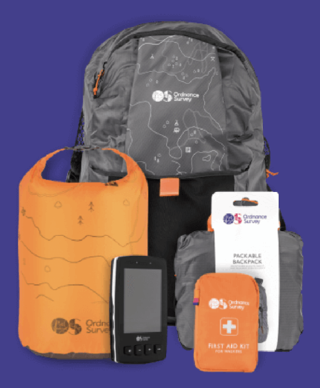
Buy the Ordnance Survey maps for this area
- OS Explorer Map 392 – Ben Nevis and Fort William
- OS Landranger Map 41 – Ben Nevis
- Ben Nevis OS Explorer Map Bundle
- Three Peaks Challenge map