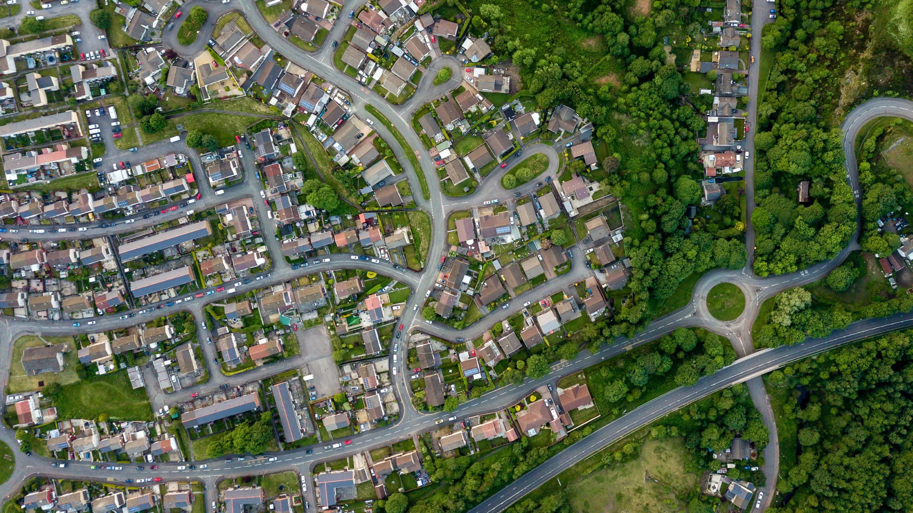
Keep Wales Tidy is a charity that has been developing a brand-new litter data methodology, taking pride in improving public spaces across Wales and protecting the environment now and for the future.
Case studies
Discover how Ordnance Survey data is driving more efficient decisions in organisations like yours
Found 11 results
Page 1

Remote solar panel assessments underpinned by OS data
Absolar, an OS Associate Partner specialising in renewable energy management, helps end-users enhance their sustainability and energy efficiency by identifying the ‘solar potential’ of a given location.
Its technology and services can remotely survey properties, to determ...

Identifying and tackling crime hotspots with location intelligence
The first duty of the government is to keep citizens safe and the country secure.
Working with 29 separate agencies and public bodies including the Police Advisory Board for England and Wales, the Security Service, the Advisory Council on the Misuse of Drugs, Gangmasters and Labour Abuse A...

Plotting the possibilities, with Plot Map
PropertyData empowers property investors, developers, and agents to make data-driven decisions with ease, at low cost. Plot Map, PropertyData’s high-resolution map of target developments (including everything from buildings and boundaries, to planning applications and land values) gives cus...

Highlighting development opportunities faster with MapServe’s Highlight tool
With greenspaces a growing priority for those helping shape the built environment, fast and efficient research, analysis, and data is crucial for more sustainable development.
OS Partner, MapServe, work with various clients, from architects and town planners, to arboculturists – peop...
Addresscloud use OS OpenData to introduce kerbside location accuracy
OS Partner Addresscloud provides software services to geocode and describe addresses with rooftop accuracy.
Addresscloud use data from Ordnance Survey’s AddressBase, Royal Mail (PAF), Eircode and Google Maps, to provide local intelligence for property level risk assessment, and suppo...

Complex land use decisions simplified by The Land App
Tim Hopkin comes from three generations of farmers, and is revolutionising the way complex land use decisions are made, through the creation of The Land App.
The Land App is an admin tool for the British countryside, available for use by the nation’s landowners, land agents and manag...

AFD Software’s Geolocation functionality used by Paultons Park
Paultons Park is the UK’s number 1 theme park in 2020 according to TripAdvisor, and has been for five years running. As the Home of Peppa Pig World and over 70 rides and attractions in the New Forest National Park, it receives 1 million people each year.

Using OS data to help fix the housing market
Solving what the UK Government calls ‘the broken housing market’, is one of the biggest challenges of our age. By using Ordnance Survey mapping and overlaying relevant data, Sprift, a UK tech start-up and OS Licensed Partner have brought together all the intelligence on any property i...
You have viewed 9 of 11 case studies