Case studies
Discover how Ordnance Survey data is driving more efficient decisions in organisations like yours
Found 6 results
Page 1
Metropolitan Police enhances operational policing with OS location intelligence
The Metropolitan Police is the UK’s largest police force. It polices 620 square miles and serves more than eight million people across one of the world’s most dynamic and diverse cities. Part of its mission is to seize the opportunities of data and digital technology. To help a...
Read case study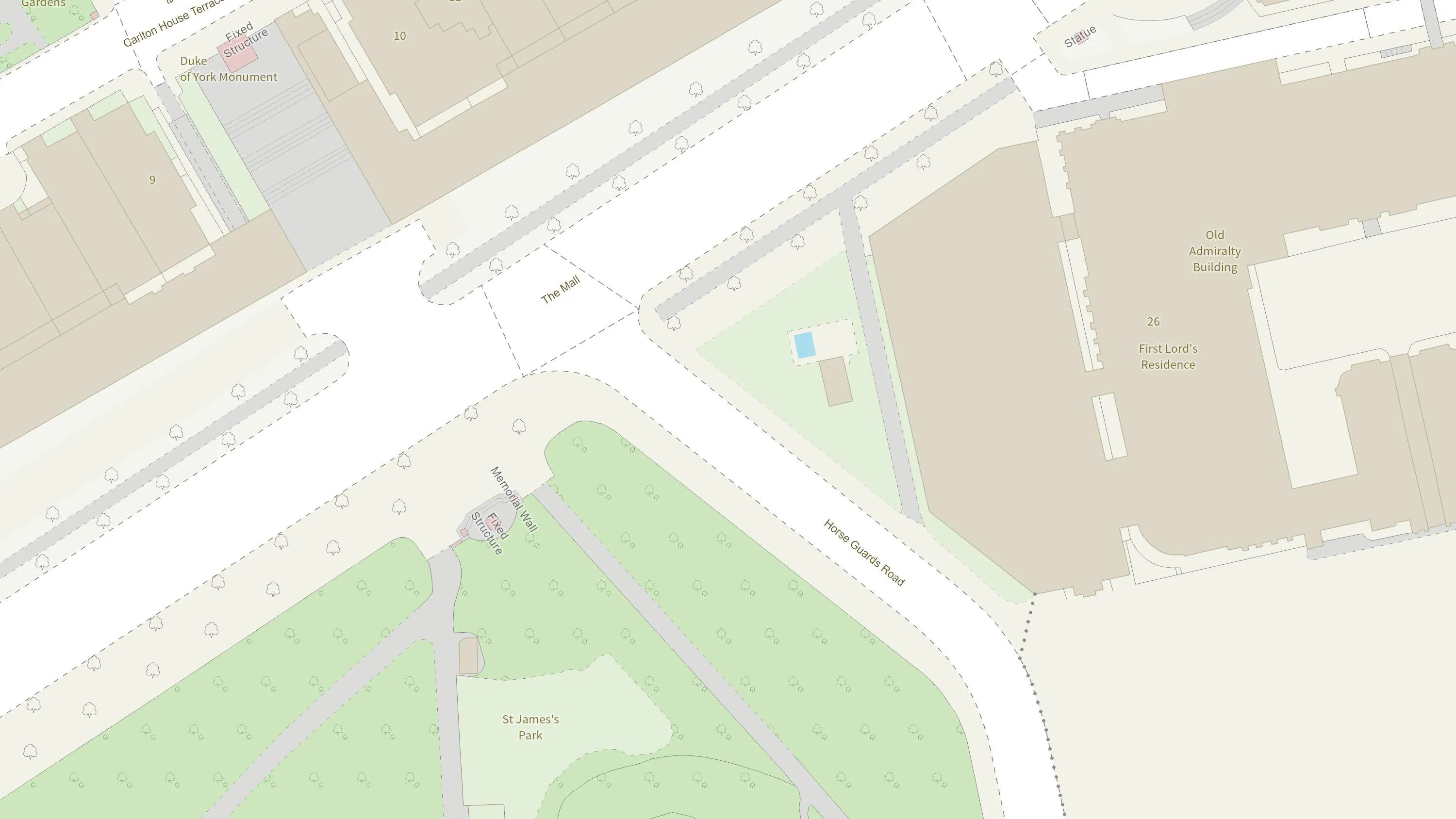
British Army creates realistic battlefield training simulations with OS NGD API
The British Army is using Ordnance Survey mapping data to create training scenarios, and provide soldiers with accurate and realistic experiences.
Read case study
Cleveland Police improves operational decision-making with OS Maps API
Discover how Cleveland Police deals with geographic issues and understands its communities better, by using Ordnance Survey location data to meet challenges and respond to emerging issues.
Read case study
Home Office improves crime hotspot analysis with OS location data
The first duty of the government is to keep citizens safe and the country secure. Working with 29 separate agencies and public bodies including the Police Advisory Board for England and Wales, the Security Service, the Advisory Council on the Misuse of Drugs, Gangmasters and Labour Abuse A...
Read case study
Scottish Fire and Rescue Service improves operational intelligence with AddressBase and the One Scotland Gazetteer
The Scottish Fire and Rescue Service is working with OS to keep firefighters safe when attending emergency incidents. Their Operational Intelligence system gives teams risk information and mapping for the whole of Scotland at their fingertips, wherever they are, via new cutting edge detachable ta...
Read case study
Maritime and Coastguard Agency pinpoints incident locations faster with FINTAN and OS data
Helping the Maritime and Coastguard Agency (MCA) find and deal with incidents at sea quickly. FINTAN was developed by the Ordnance Survey (OS) research department to enable the capture, storage and display of vernacular information about the names local people use to refer to locations. MC...
Read case study