
Newark and Sherwood District Council has used OS data to enable confident decision-making for public benefit.
Case studies
Discover how Ordnance Survey data is driving more efficient decisions in organisations like yours
Found 19 results
Page 1
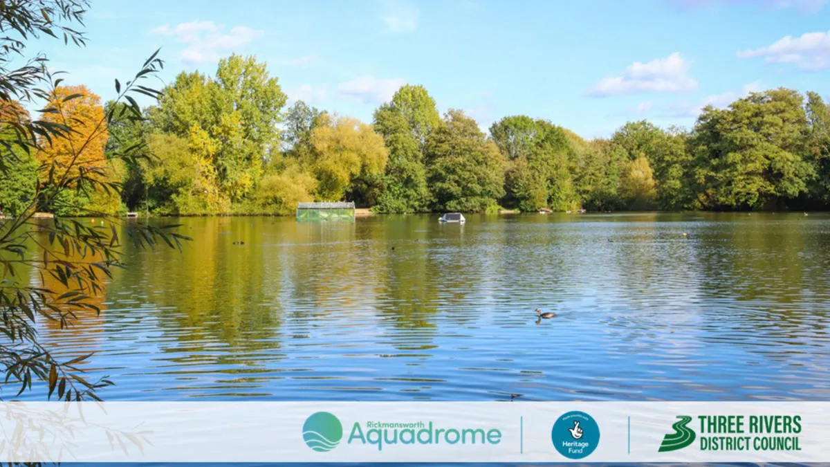
Sustainability, resilience, and nature recovery with Three Rivers District Council
Three Rivers District Council is on a mission to protect and enhance the local nature reserve – Rickmansworth Aquadrome. The nature reserve includes two large lakes, woodland, and open grassland, and is home to a wide range of wildlife.
The council’s priorities for the project...

Improving prescription accessibility
NHS England recognises that collecting prescriptions from pharmacies can be a challenge for some patients.
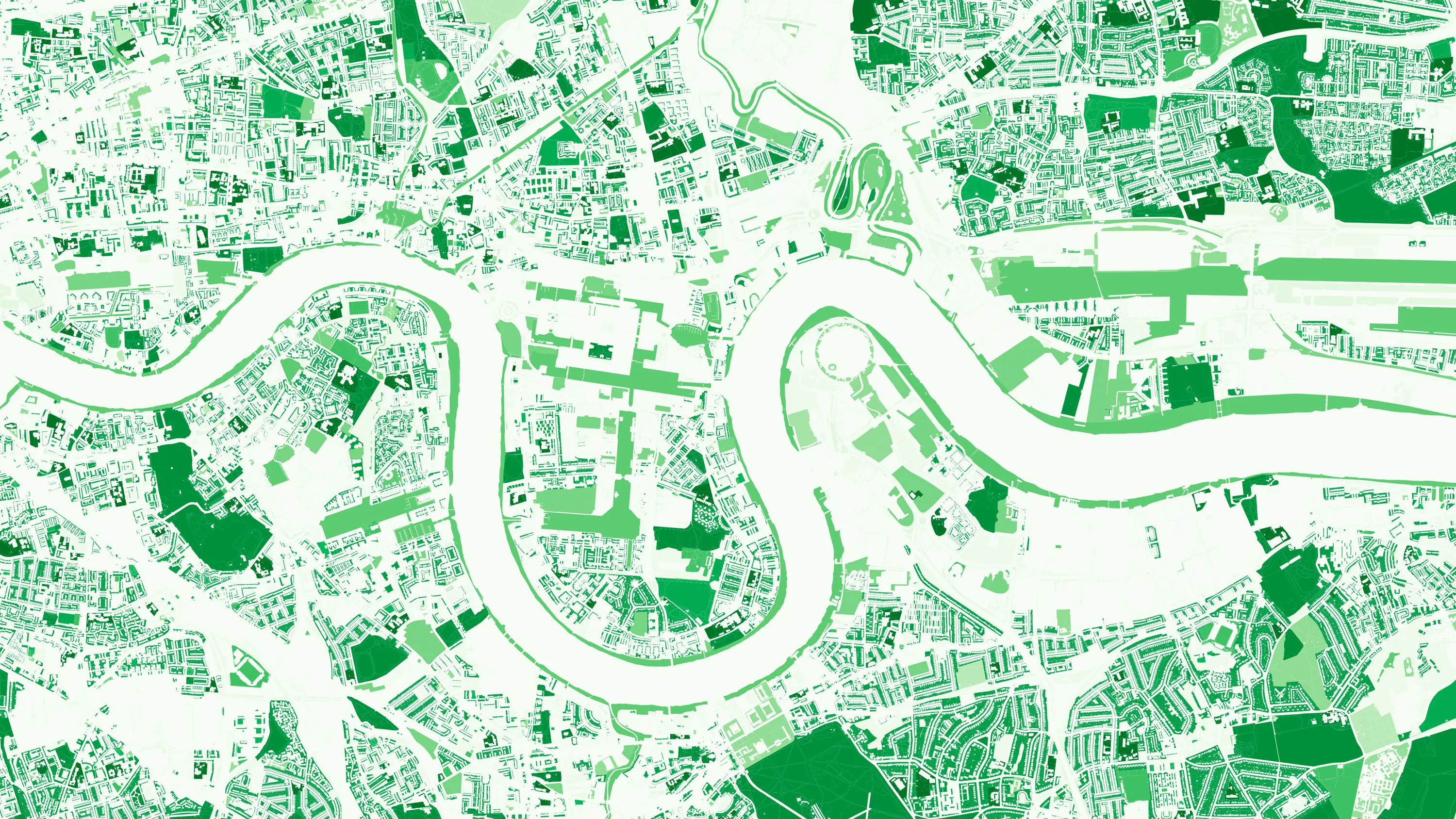
How location data helped the Department for Levelling Up Housing and Communities create new urban green spaces
The importance of access to green outdoor spaces in relation to health and wellbeing is clear. However, deprived areas are less likely to have access to green space and gardens.
In 2021 the Government allocated £9 million of funding to a ‘Levelling Up Parks Fund’ to help...

Identifying the wider determinants of health
Researchers at the Clinical Effectiveness Group, at Queen Mary University of London, are linking de-identified (or pseudonymised) data on 'people' and 'places,' to inform powerful health research and better location-based care.
Using location data to model care home provision
Ordnance Survey and DHSC worked together to develop a tool to calculate the distance from care homes to population centres, using open-source coding tools.

How the One Scotland Gazetteer and OS support Scottish Fire Service and Rescue
The Scottish Fire and Rescue Service is working with OS to keep firefighters safe when attending emergency incidents. Their Operational Intelligence system gives teams risk information and mapping for the whole of Scotland at their fingertips, wherever they are, via new cutting edge detachable ta...
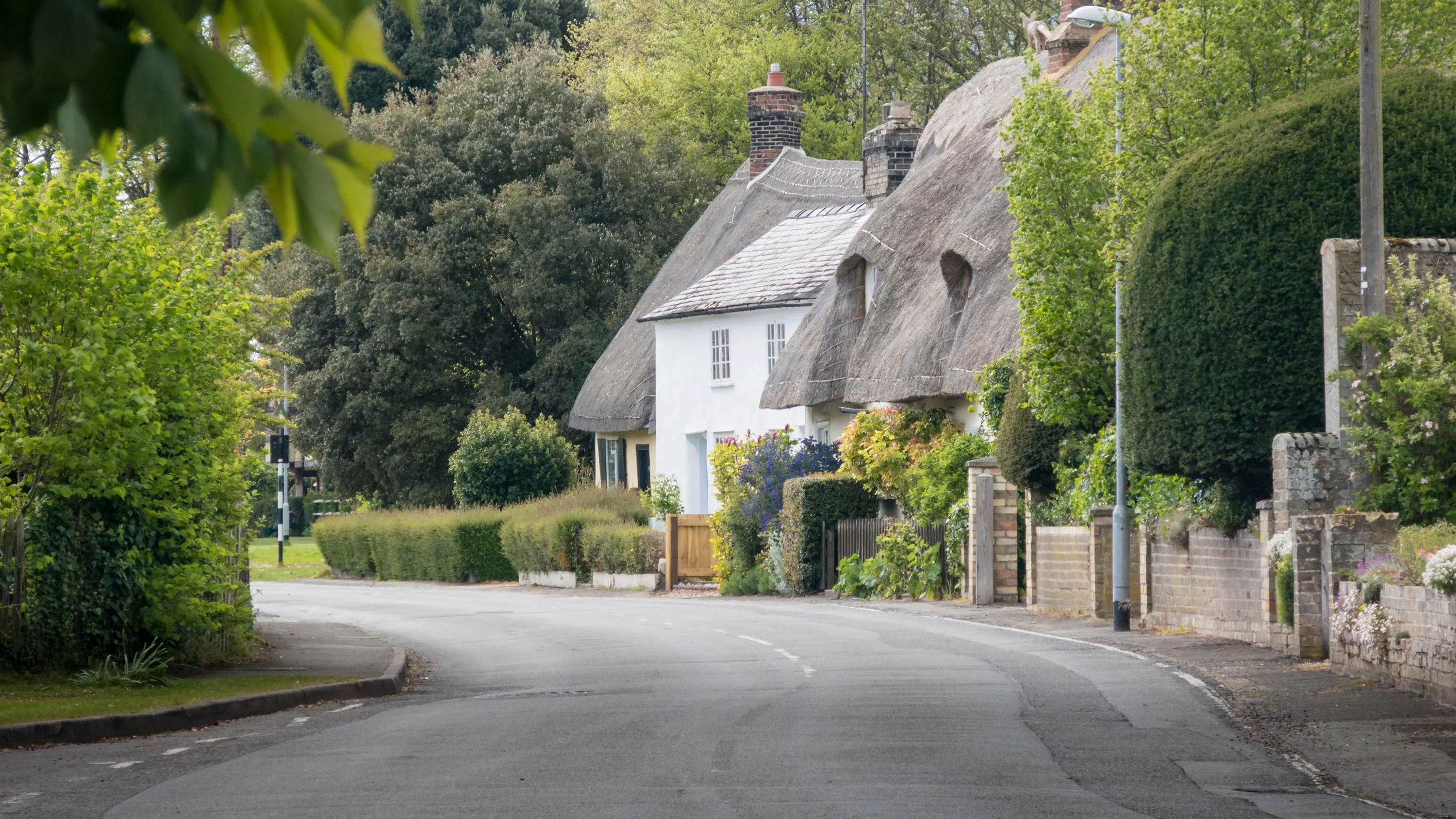
How councils can make the most of their access to OS mapping
From fundraising for more greenspace, to underpinning neighbourhood planning, to creating a public art trail, Histon and Impington Parish Council show how councils can make the most of OS mapping.
Supplied under the Public Sector Geospatial Agreement (PSGA), councils across Great Britain c...

Faster access to healthcare assets for NHS Healthy Urban Development Unit
By helping the NHS develop and improve local health infrastructure in line with population changes, The NHS London Healthy Urban Development Unit (NHS HUDU) maximises the opportunities that come from aligning housing development planning and health programmes in London – to narrow...
You have viewed 9 of 19 case studies