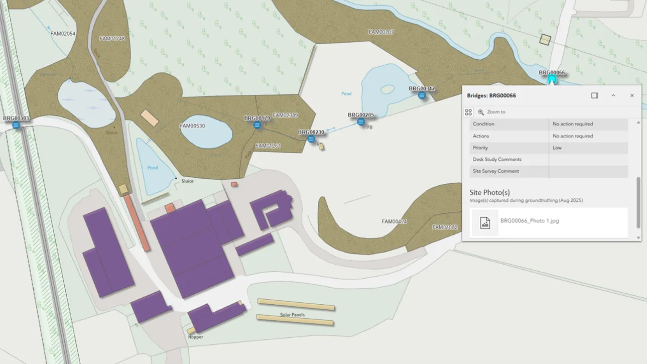
Crown Estate Scotland manages rural estates — covering over 35,000 hectares of tenanted land, built assets, and infrastructure. Land use includes forests, historic buildings, farms, and more.
Case studies
Discover how Ordnance Survey data is driving more efficient decisions in organisations like yours
Found 16 results
Page 1

Transforming Dubai’s built environment: the BRPA’s journey to data-driven excellence
Ordnance Survey was approached by Dubai Municipality to produce and test a data collection and management optimisation blueprint, as part of Dubai's larger ambition to become the World’s Happiest City, the “best place for living in the world.”

The Building Regulation & Permits Agency’s role in Dubai’s Happier City vision
Dubai’s ambition is to become the World’s Happiest City, the “best place for living in the world,” with key objectives and outcomes necessary to realise its goal.

Remote solar panel assessments underpinned by OS data
Absolar, an OS Associate Partner specialising in renewable energy management, helps end-users enhance their sustainability and energy efficiency by identifying the ‘solar potential’ of a given location.
Its technology and services can remotely survey properties, to determ...

Unlocking vital insight in less time
Following the tragic Grenfell Tower disaster, the Government led a programme of work delivered by Fire and Rescue Services across the country; to make high-rise residential buildings safer, and provide a better understanding of high-rise residential buildings.

Highlighting development opportunities faster with MapServe’s Highlight tool
With greenspaces a growing priority for those helping shape the built environment, fast and efficient research, analysis, and data is crucial for more sustainable development.
OS Partner, MapServe, work with various clients, from architects and town planners, to arboculturists – peop...
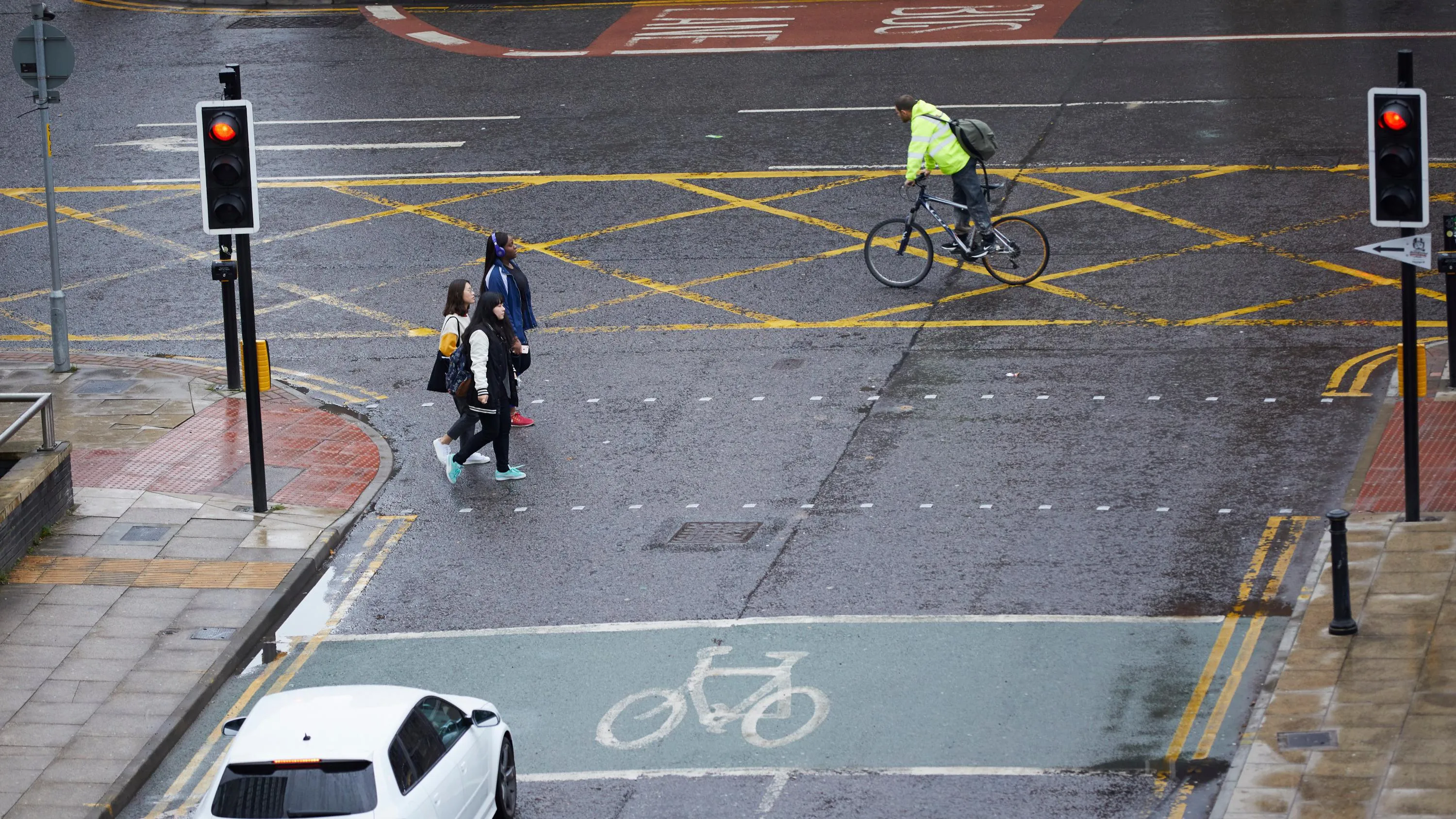
Active Streets tool helps local authorities locate safer walking and cycling spaces
In response to the government’s Emergency Active Travel Fund (EATF), OS Partner, Road Safety Analysis and the Agilysis team used OS MasterMap Highways combined with their own data, to create a tool enabling local authorities to assess their active travel network.
The EATF is providin...

Saving time, money and resources with online planning help
Read how OS geospatial data helped North Somerset Council save both time and money by making it easier for people to submit valid planning applications.

Improving integration between BIM and GIS
Ordnance Survey developed a transformation engine for strict and automatic mapping of IFC-BIM models into semantically enriched 3D CityGML building models, both exterior and interior. This work was completed with National University of Singapore (NUS) for the National Research Foundation (NRF) un...
You have viewed 9 of 16 case studies