
Newark and Sherwood District Council has used OS data to enable confident decision-making for public benefit.
Case studies
Discover how Ordnance Survey data is driving more efficient decisions in organisations like yours
Found 33 results
Page 1
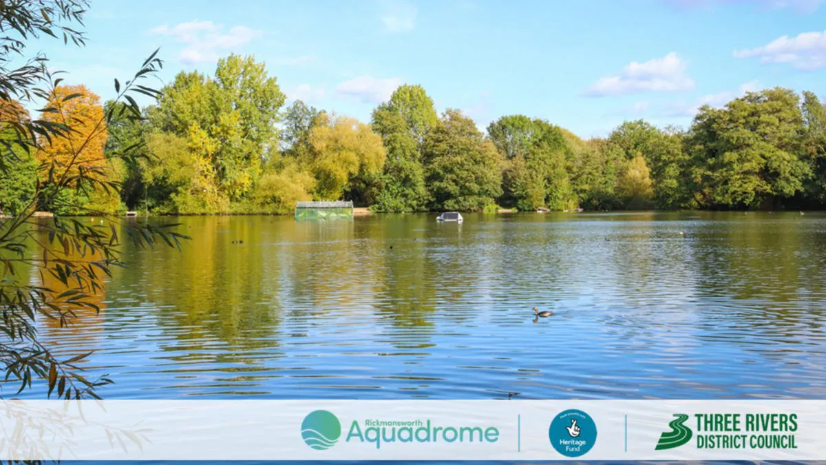
Sustainability, resilience, and nature recovery with Three Rivers District Council
Three Rivers District Council is on a mission to protect and enhance the local nature reserve – Rickmansworth Aquadrome. The nature reserve includes two large lakes, woodland, and open grassland, and is home to a wide range of wildlife.
The council’s priorities for the project...

Transforming Dubai’s built environment: the BRPA’s journey to data-driven excellence
Ordnance Survey was approached by Dubai Municipality to produce and test a data collection and management optimisation blueprint, as part of Dubai's larger ambition to become the World’s Happiest City, the “best place for living in the world.”
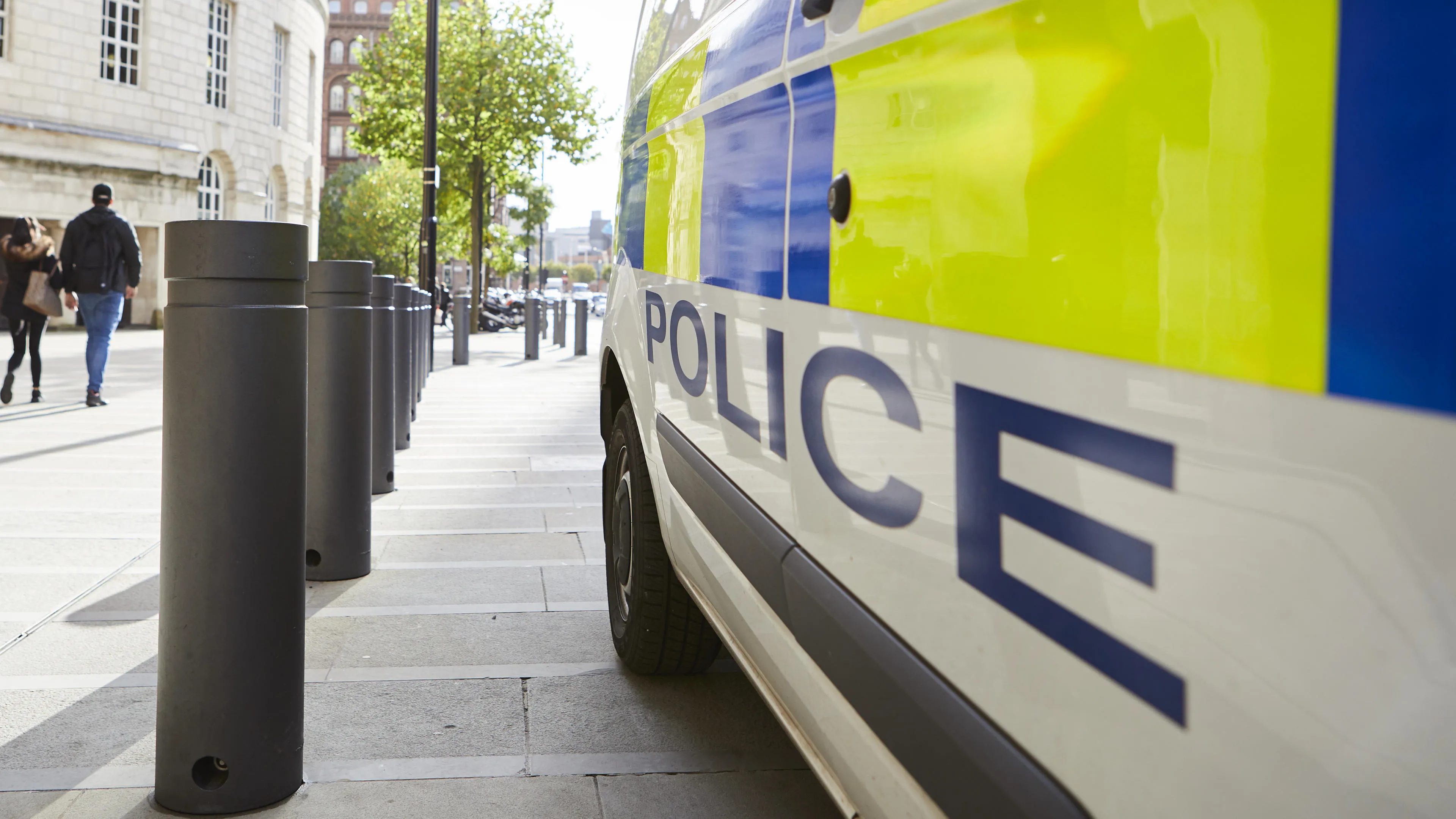
Metropolitan Police enhances operational policing with OS location intelligence
The Metropolitan Police is the UK’s largest police force. It polices 620 square miles and serves more than eight million people across one of the world’s most dynamic and diverse cities.
Part of its mission is to seize the opportunities of data and digital technology. To help a...
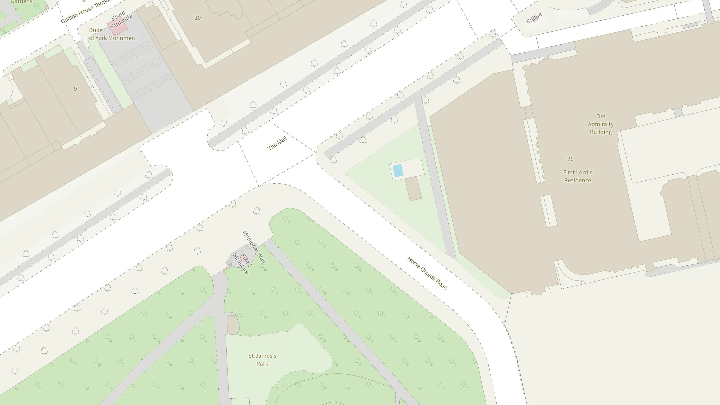
How the British Army use mapping APIs for battlefield training
The British Army is using Ordnance Survey mapping data to create training scenarios, and provide soldiers with accurate and realistic experiences.
How mapping supports police work
Discover how Cleveland Police deals with geographic issues and understands its communities better, by using Ordnance Survey location data to meet challenges and respond to emerging issues.

Identifying and tackling crime hotspots with location intelligence
The first duty of the government is to keep citizens safe and the country secure.
Working with 29 separate agencies and public bodies including the Police Advisory Board for England and Wales, the Security Service, the Advisory Council on the Misuse of Drugs, Gangmasters and Labour Abuse A...

How the One Scotland Gazetteer and OS support Scottish Fire Service and Rescue
The Scottish Fire and Rescue Service is working with OS to keep firefighters safe when attending emergency incidents. Their Operational Intelligence system gives teams risk information and mapping for the whole of Scotland at their fingertips, wherever they are, via new cutting edge detachable ta...

Plotting the possibilities, with Plot Map
PropertyData empowers property investors, developers, and agents to make data-driven decisions with ease, at low cost. Plot Map, PropertyData’s high-resolution map of target developments (including everything from buildings and boundaries, to planning applications and land values) gives cus...
You have viewed 9 of 33 case studies